File:Marchant Close - geograph.org.uk - 1752616.jpg
Jump to navigation
Jump to search
Size of this preview: 800 × 521 pixels. Other resolutions: 320 × 208 pixels | 640 × 417 pixels | 1,024 × 667 pixels | 1,280 × 834 pixels | 1,600 × 1,042 pixels.
Original file (1,600 × 1,042 pixels, file size: 576 KB, MIME type: image/jpeg)
Captions
Captions
Add a one-line explanation of what this file represents
Summary[edit]
| Description |
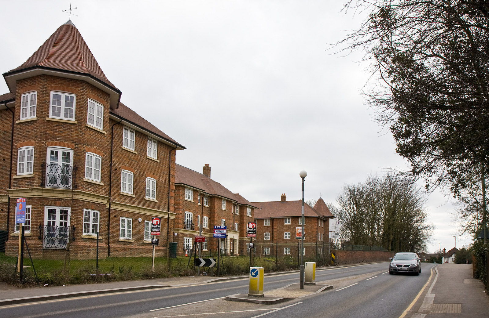
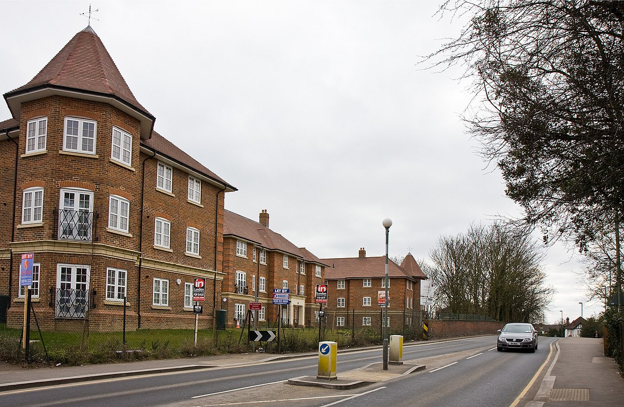
English: Marchant Close A new housing development in Mill Hill beside Bunns Lane. The bridge on the left of the photo carried the road over the GNR line from Mill Hill East to Edgware. The line was closed in 1964 and the new housing is apparently built on the site of The Hale Station which, according to Barnet onLine, triggered development of the area. Bunns Lane takes its name from one of the large farms thyat existed in the area prior to the building boom. |
| Date | |
| Source | From geograph.org.uk |
| Author | Martin Addison |
| Attribution (required by the license) | Martin Addison / Marchant Close / |
| Camera location | | View this and other nearby images on: OpenStreetMap |
|---|
_heading:112.00&language=en)
| Object location | | View this and other nearby images on: OpenStreetMap |
|---|
_heading:112.00&language=en)
Licensing[edit]

|
This image was taken from the Geograph project collection. See this photograph's page on the Geograph website for the photographer's contact details. The copyright on this image is owned by Martin Addison and is licensed for reuse under the Creative Commons Attribution-ShareAlike 2.0 license.
|
This file is licensed under the Creative Commons Attribution-Share Alike 2.0 Generic license.
Attribution: Martin Addison
- You are free:
- to share – to copy, distribute and transmit the work
- to remix – to adapt the work
- Under the following conditions:
- attribution – You must give appropriate credit, provide a link to the license, and indicate if changes were made. You may do so in any reasonable manner, but not in any way that suggests the licensor endorses you or your use.
- share alike – If you remix, transform, or build upon the material, you must distribute your contributions under the same or compatible license as the original.
File history
Click on a date/time to view the file as it appeared at that time.
| Date/Time | Thumbnail | Dimensions | User | Comment | |
|---|---|---|---|---|---|
| current | 23:32, 5 March 2011 | | 1,600 × 1,042 (576 KB) | GeographBot (talk | contribs) | == {{int:filedesc}} == {{Information |description={{en|1=Marchant Close A new housing development in Mill Hill beside Bunns Lane. The bridge on the left of the photo carried the road over the GNR line from Mill Hill East to Edgware. The line was closed |
You cannot overwrite this file.
File usage on Commons
There are no pages that use this file.