File:Map of Vorukh (Tajikistan).png
Jump to navigation
Jump to search

Size of this preview: 791 × 600 pixels. Other resolutions: 317 × 240 pixels | 633 × 480 pixels | 1,013 × 768 pixels | 1,280 × 970 pixels | 2,000 × 1,516 pixels.
Original file (2,000 × 1,516 pixels, file size: 364 KB, MIME type: image/png)
Captions
Captions
Add a one-line explanation of what this file represents
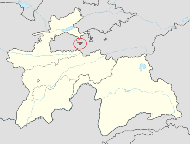
Ворух никогда не был аклавом, Ворух всегда был соединён к остальным территории Таджикистана, к сожалению в Кыргизстане нарисовали карту Воруха как анклав и этот карта ещё не приходил комиссии между двумя государствами, но Кыргизи нагло захватили Таджикскую землю и построили село по название Аксай на таджикской земле, это не справедливость.
Summary[edit]
.png&action=edit§ion=1)
| Description | |
| Date | |
| Source | Own work based on: Tajikistan adm location map.svg |
| Author |
Own work based on work by NordNordWest |
Licensing[edit]
.png&action=edit§ion=2)
I, the copyright holder of this work, hereby publish it under the following license:
This file is licensed under the Creative Commons Attribution-Share Alike 4.0 International license.
- You are free:
- to share – to copy, distribute and transmit the work
- to remix – to adapt the work
- Under the following conditions:
- attribution – You must give appropriate credit, provide a link to the license, and indicate if changes were made. You may do so in any reasonable manner, but not in any way that suggests the licensor endorses you or your use.
- share alike – If you remix, transform, or build upon the material, you must distribute your contributions under the same or compatible license as the original.
File history
Click on a date/time to view the file as it appeared at that time.
| Date/Time | Thumbnail | Dimensions | User | Comment | |
|---|---|---|---|---|---|
| current | 06:05, 24 March 2017 | | 2,000 × 1,516 (364 KB) | Syanarion62 (talk | contribs) | User created page with UploadWizard |
You cannot overwrite this file.
File usage on Commons
There are no pages that use this file.
File usage on other wikis
The following other wikis use this file:
- Usage on es.wikipedia.org
- Usage on ja.wikipedia.org
- Usage on zh.wikipedia.org
.png&oldid=743410814)