File:Map of Pennsylvania highlighting Johnstown and Somerset.svg
Jump to navigation
Jump to search

Size of this PNG preview of this SVG file: 800 × 460 pixels. Other resolutions: 320 × 184 pixels | 640 × 368 pixels | 1,024 × 589 pixels | 1,280 × 736 pixels | 2,560 × 1,472 pixels | 4,950 × 2,846 pixels.
Original file (SVG file, nominally 4,950 × 2,846 pixels, file size: 110 KB)
Captions
Captions
Add a one-line explanation of what this file represents
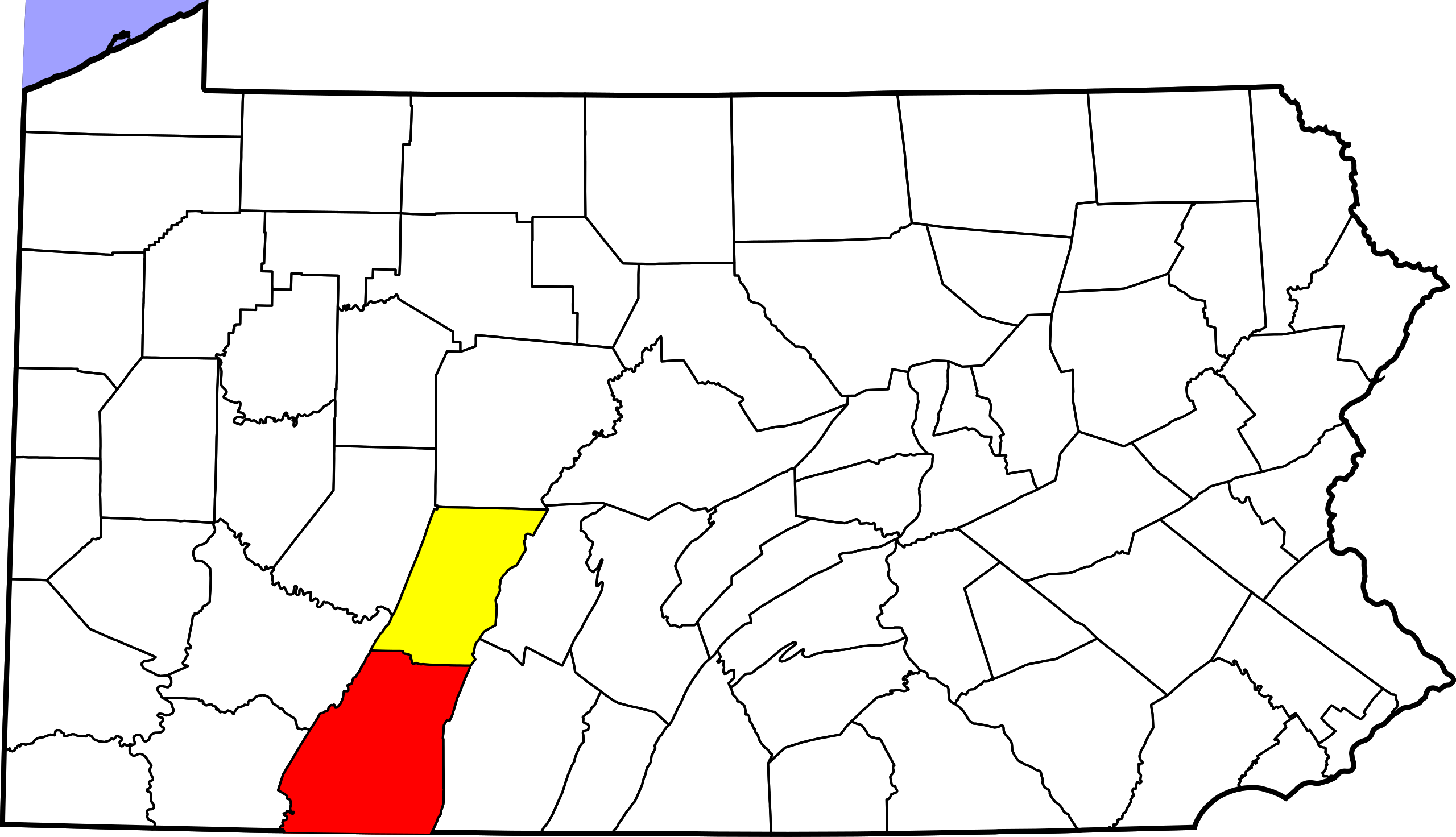
| Description | This is a locator map showing Somerset County and Johnstown in Pennsylvania. | ||||
| Source | Derivate of File:Map of Pennsylvania highlighting Somerset County.svg | ||||
| Author | David Benbennick made this map. For more information, see Commons:United States county locator maps. | ||||
| Permission (Reusing this file) |
|
||||
| SVG development |
File history
Click on a date/time to view the file as it appeared at that time.
| Date/Time | Thumbnail | Dimensions | User | Comment | |
|---|---|---|---|---|---|
| current | 18:59, 24 October 2014 | | 4,950 × 2,846 (110 KB) | Beao (talk | contribs) | {{Information |Description=This is a locator map showing Somerset County and Johnstown in Pennsylvania. |Source=Derivate of File:Map of Pennsylvania highlighting Somerset County.svg... |
You cannot overwrite this file.
File usage on Commons
The following page uses this file:
File usage on other wikis
The following other wikis use this file:
- Usage on en.wikipedia.org
- Usage on zh.wikipedia.org