File:Map of Minnesota highlighting Lake of the Woods County.svg
Jump to navigation
Jump to search

Size of this PNG preview of this SVG file: 527 × 600 pixels. Other resolutions: 211 × 240 pixels | 422 × 480 pixels | 675 × 768 pixels | 900 × 1,024 pixels | 1,800 × 2,048 pixels | 5,746 × 6,539 pixels.
Original file (SVG file, nominally 5,746 × 6,539 pixels, file size: 104 KB)
Captions
Captions
Add a one-line explanation of what this file represents
Summary
[edit]
| Description |
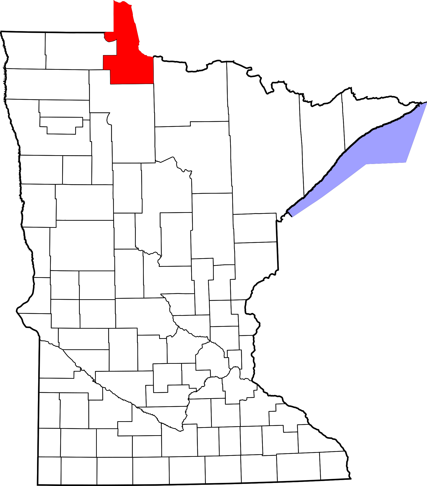
English: This is a locator map showing Lake of the Woods County in Minnesota. For more information, see Commons:United States county locator maps. |
| Date | |
| Source |
Own work: English: The maps use data from nationalatlas.gov, specifically countyp020.tar.gz on the Raw Data Download page. The maps also use state outline data from statesp020.tar.gz. The Florida maps use hydrogm020.tar.gz to display Lake Okeechobee. |
| Author | David Benbennick |
Licensing
[edit]
| I, the copyright holder of this work, release this work into the public domain. This applies worldwide. In some countries this may not be legally possible; if so: I grant anyone the right to use this work for any purpose, without any conditions, unless such conditions are required by law. |
File history
Click on a date/time to view the file as it appeared at that time.
| Date/Time | Thumbnail | Dimensions | User | Comment | |
|---|---|---|---|---|---|
| current | 13:14, 12 February 2006 | | 5,746 × 6,539 (104 KB) | David Benbennick (talk | contribs) | {{subst:User:Dbenbenn/clm|county=Lake of the Woods County|state=Minnesota|type=county}} |
| 13:03, 12 February 2006 |  | 5,746 × 6,539 (104 KB) | David Benbennick (talk | contribs) | {{subst:User:Dbenbenn/clm|county=Lake of the Woods County|state=Minnesota|type=county}} |
You cannot overwrite this file.
File usage on Commons
The following 4 pages use this file:
File usage on other wikis
The following other wikis use this file:
- Usage on ar.wikipedia.org
- Usage on bg.wikipedia.org
- Usage on bpy.wikipedia.org
- Usage on cdo.wikipedia.org
- Usage on ceb.wikipedia.org
- Usage on cy.wikipedia.org
- Usage on da.wikipedia.org
- Usage on de.wikipedia.org
- Usage on en.wikipedia.org
- List of counties in Minnesota
- Lake of the Woods County, Minnesota
- Baudette, Minnesota
- Baudette Township, Lake of the Woods County, Minnesota
- Boone Township, Lake of the Woods County, Minnesota
- Chilgren Township, Lake of the Woods County, Minnesota
- Forest Area Township, Lake of the Woods County, Minnesota
- Gudrid Township, Lake of the Woods County, Minnesota
- Kiel Township, Lake of the Woods County, Minnesota
- Potamo Township, Lake of the Woods County, Minnesota
- Prosper Township, Lake of the Woods County, Minnesota
- Rapid River Township, Lake of the Woods County, Minnesota
- Rulien Township, Lake of the Woods County, Minnesota
- Spooner Township, Lake of the Woods County, Minnesota
- Swiftwater Township, Lake of the Woods County, Minnesota
- Victory Township, Lake of the Woods County, Minnesota
- Wabanica Township, Lake of the Woods County, Minnesota
- Walhalla Township, Lake of the Woods County, Minnesota
- Wheeler Township, Lake of the Woods County, Minnesota
- Williams, Minnesota
- Zippel Township, Lake of the Woods County, Minnesota
- Angle Township, Lake of the Woods County, Minnesota
- Lakewood Township, Lake of the Woods County, Minnesota
- McDougald Township, Lake of the Woods County, Minnesota
- Myhre Township, Lake of the Woods County, Minnesota
- Roosevelt, Minnesota
- Township 157-30, Lake of the Woods County, Minnesota
- Township 158-30, Lake of the Woods County, Minnesota
- Northwest Angle
- Angle Inlet, Minnesota
- Oak Island (Minnesota)
- Red Lake Indian Reservation
- Clementson, Minnesota
View more global usage of this file.