File:Map of Florida highlighting Palm Beach County.svg
Jump to navigation
Jump to search

Size of this PNG preview of this SVG file: 601 × 599 pixels. Other resolutions: 241 × 240 pixels | 481 × 480 pixels | 770 × 768 pixels | 1,027 × 1,024 pixels | 2,054 × 2,048 pixels | 7,342 × 7,321 pixels.
Original file (SVG file, nominally 7,342 × 7,321 pixels, file size: 310 KB)
Captions
Captions
Add a one-line explanation of what this file represents
Summary[edit]
| Description |
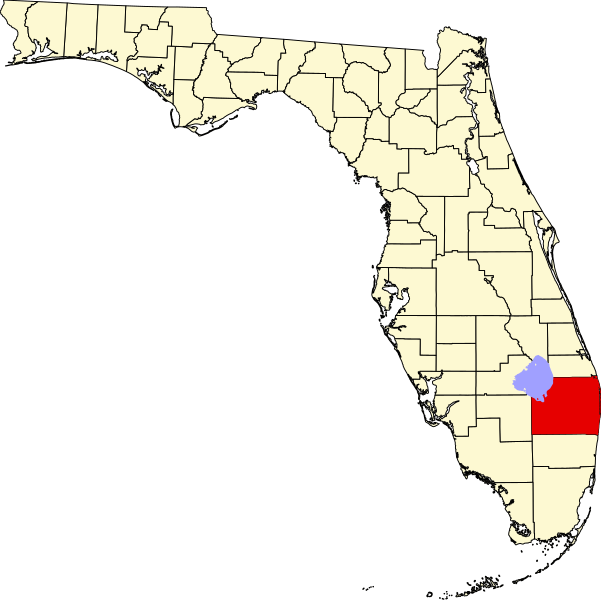
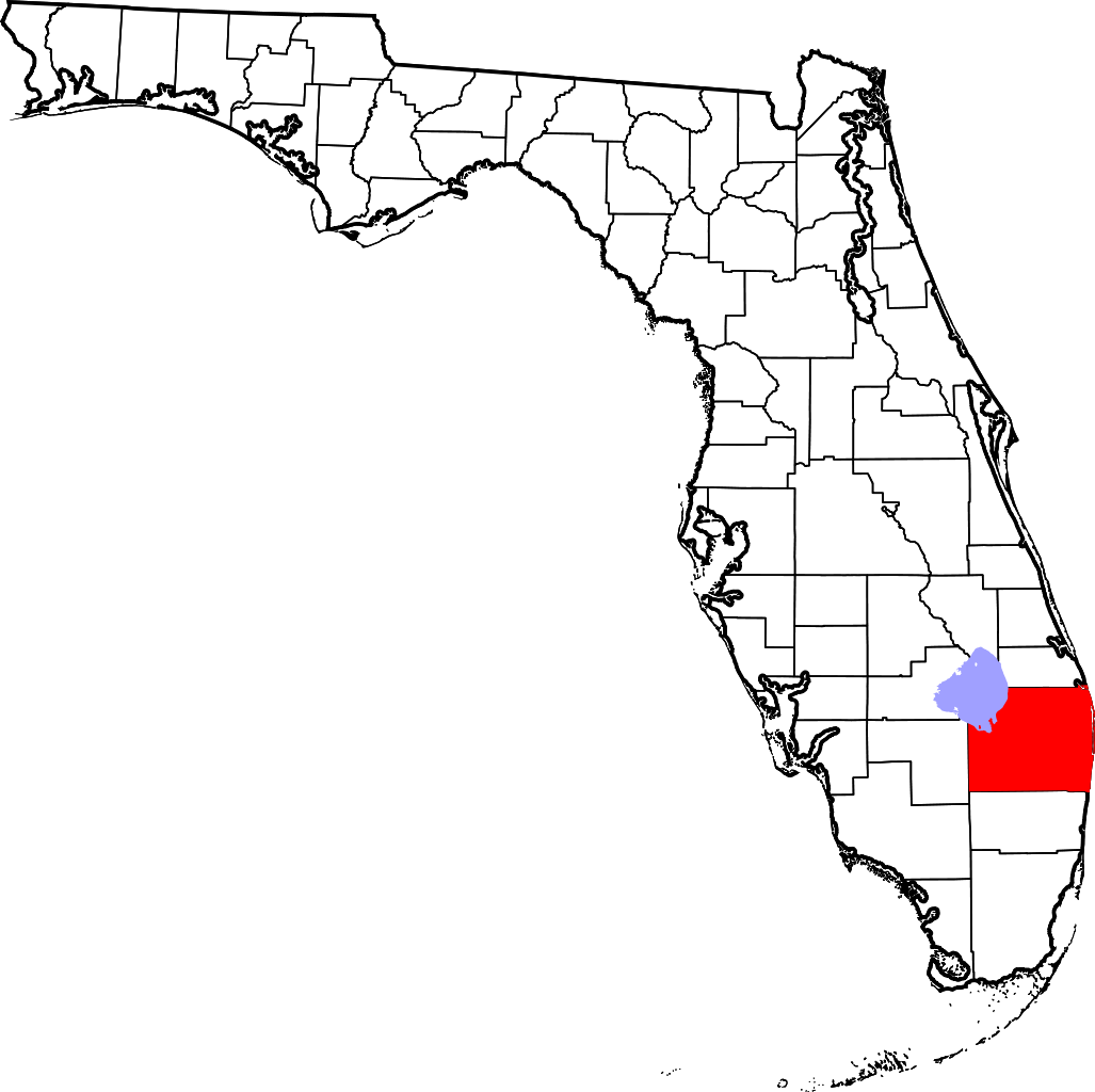
English: This is a locator map showing Palm Beach County in Florida. For more information, see Commons:United States county locator maps. |
| Date | |
| Source |
Own work: English: The maps use data from nationalatlas.gov, specifically countyp020.tar.gz on the Raw Data Download page. The maps also use state outline data from statesp020.tar.gz. The Florida maps use hydrogm020.tar.gz to display Lake Okeechobee. |
| Author | David Benbennick |
Licensing[edit]
| I, the copyright holder of this work, release this work into the public domain. This applies worldwide. In some countries this may not be legally possible; if so: I grant anyone the right to use this work for any purpose, without any conditions, unless such conditions are required by law. |
File history
Click on a date/time to view the file as it appeared at that time.
| Date/Time | Thumbnail | Dimensions | User | Comment | |
|---|---|---|---|---|---|
| current | 05:42, 14 February 2006 | | 7,342 × 7,321 (310 KB) | David Benbennick (talk | contribs) | New version with Lake Okeechobee |
| 10:49, 12 February 2006 |  | 7,342 × 7,321 (307 KB) | David Benbennick (talk | contribs) | {{subst:User:Dbenbenn/clm|county=Palm Beach County|state=Florida}} |
You cannot overwrite this file.
File usage on Commons
The following 10 pages use this file:
- Category:Births in Palm Beach County, Florida
- Category:Deaths in Palm Beach County, Florida
- Category:Maps of Palm Beach County, Florida
- Category:Palm Beach County, Florida
- Category:People of Palm Beach County, Florida
- Category:Populated places in Palm Beach County, Florida
- Category:Roads in Palm Beach County, Florida
- Category:Towns in Palm Beach County, Florida
- Category:Views of Palm Beach County, Florida
- Category:Villages in Palm Beach County, Florida
File usage on other wikis
The following other wikis use this file:
- Usage on ar.wikipedia.org
- أتلانتيس
- بل غليد
- بوينتون
- برانفورد
- كلاود ليك
- دلراي بيتش
- غلينريدج
- غولف (فلوريدا)
- غرين أكرز
- غولف ستريم
- هافرهيل (فلوريدا)
- هايلاند بيتش
- هايبولوكسو
- جونو بيتش
- جوبيتر (فلوريدا)
- جوبيتر إنليت كولوني
- ليك كلارك شورز
- ليك بارك (فلوريدا)
- ليك وورث
- لانتانا (فلوريدا)
- لوكساهاتشي غروفز
- مانالابان
- مانغونيا بارك
- نورث بالم بيتش
- أوشين ريدج
- باهوكي
- بالم بيتش
- بالم بيتش غاردنز
- بالم بيتش شورز
- بالم سبرنغز
- ريفييرا بيتش
- رويال بالم بيتش
- ساوث باي
- ساوث بالم بيتش
- مقاطعة بالم بيتش (فلوريدا)
- ويست بالم بيتش
- بوكا راتون
- توكويستا (فلوريدا)
- ويلنغتون (فلوريدا)
- قائمة مقاطعات فلوريدا
- ستايسي ستريت (فلوريدا)
- ليمستون كريك (فلوريدا)
- سيمينول مانور (فلوريدا)
- لاك بلفيدير إستيتس (فلوريدا)
- جونو ريدج (فلوريدا)
- غون كلوب إستيتس (فلوريدا)
- رويال بالم إستيتس (فلوريدا)
- قالب:مقاطعة بالم بيتش (فلوريدا)
- شال سيركل (فلوريدا)
- Usage on ast.wikipedia.org
View more global usage of this file.