File:Map of Alaska highlighting Prince of Wales-Hyder Census Area.svg
Jump to navigation
Jump to search

Size of this PNG preview of this SVG file: 800 × 423 pixels. Other resolutions: 320 × 169 pixels | 640 × 338 pixels | 1,024 × 541 pixels | 1,280 × 677 pixels | 2,560 × 1,353 pixels | 1,470 × 777 pixels.
Original file (SVG file, nominally 1,470 × 777 pixels, file size: 475 KB)
Captions
Captions
Add a one-line explanation of what this file represents

|
This file requires updating. In doing so, you could add a timestamp to the file.
|
Summary[edit]
| Description | |
| Date | |
| Source | Own work |
| Author | Dtbohrer |
| Other versions |
 |
| SVG development |
Licensing[edit]
| I, the copyright holder of this work, release this work into the public domain. This applies worldwide. In some countries this may not be legally possible; if so: I grant anyone the right to use this work for any purpose, without any conditions, unless such conditions are required by law. |
File history
Click on a date/time to view the file as it appeared at that time.
| Date/Time | Thumbnail | Dimensions | User | Comment | |
|---|---|---|---|---|---|
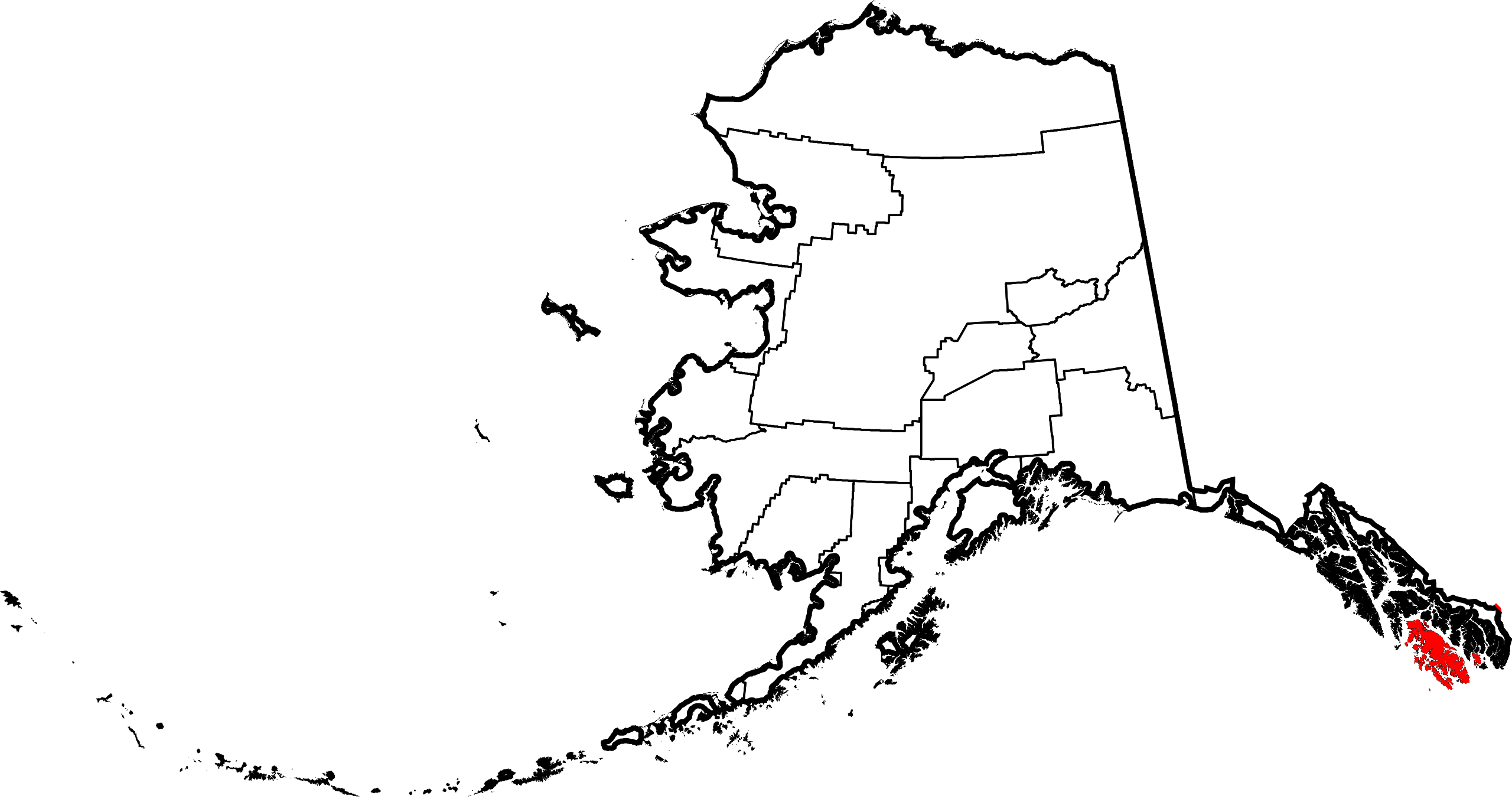
| current | 16:42, 7 February 2009 | | 1,470 × 777 (475 KB) | Niagara (talk | contribs) | == Summary == {{Information |Description={{en|1=Map of Alaska highlighting the Prince of Wales-Hyder Census Area}} |Source=self made |Author=Dtbohrer |Date=February 7, 2009 |Pe |
You cannot overwrite this file.
File usage on Commons
The following page uses this file:
File usage on other wikis
The following other wikis use this file:
- Usage on ca.wikipedia.org
- Usage on ce.wikipedia.org
- Usage on de.wikipedia.org
- Usage on en.wikipedia.org
- List of boroughs and census areas in Alaska
- Prince of Wales–Hyder Census Area, Alaska
- Coffman Cove, Alaska
- Craig, Alaska
- Edna Bay, Alaska
- Hollis, Alaska
- Hydaburg, Alaska
- Hyder, Alaska
- Kasaan, Alaska
- Klawock, Alaska
- Metlakatla, Alaska
- Naukati Bay, Alaska
- Point Baker, Alaska
- Port Protection, Alaska
- Thorne Bay, Alaska
- Whale Pass, Alaska
- Kake, Alaska
- Port Alexander, Alaska
- Revillagigedo Channel
- Clarence Strait
- Annette Island
- Gravina Islands
- Sumner Strait
- Waterfall, Alaska
- Portland Canal
- Salmon River (Portland Canal)
- Unorganized Borough, Alaska
- Wikipedia:WikiProject Alaska
- Forrester Island Wilderness
- Hazy Islands Wilderness
- Kosciusko Island
- Warren Island (Alaska)
- Suemez Island
- Long Island (Alaska)
- Template:Prince of Wales–Hyder Census Area, Alaska
- Template:Unorganized Borough, Alaska
- Bucareli Bay
- Heceta Island
- Sukkwan Island
- Baker Island (Alaska)
- User:Nyttend/County templates/AK
- Template:PrinceofWalesHyderAK-geo-stub
- National Register of Historic Places listings in Prince of Wales–Hyder Census Area, Alaska
- Seward Mountains (Alaska)
- Lincoln Mountains
- Karta River Wilderness
- Grindall Island
View more global usage of this file.