File:Map Irkutsk Governorate.jpg
Original file (3,405 × 2,552 pixels, file size: 2.51 MB, MIME type: image/jpeg)
Captions
Captions
| Description |
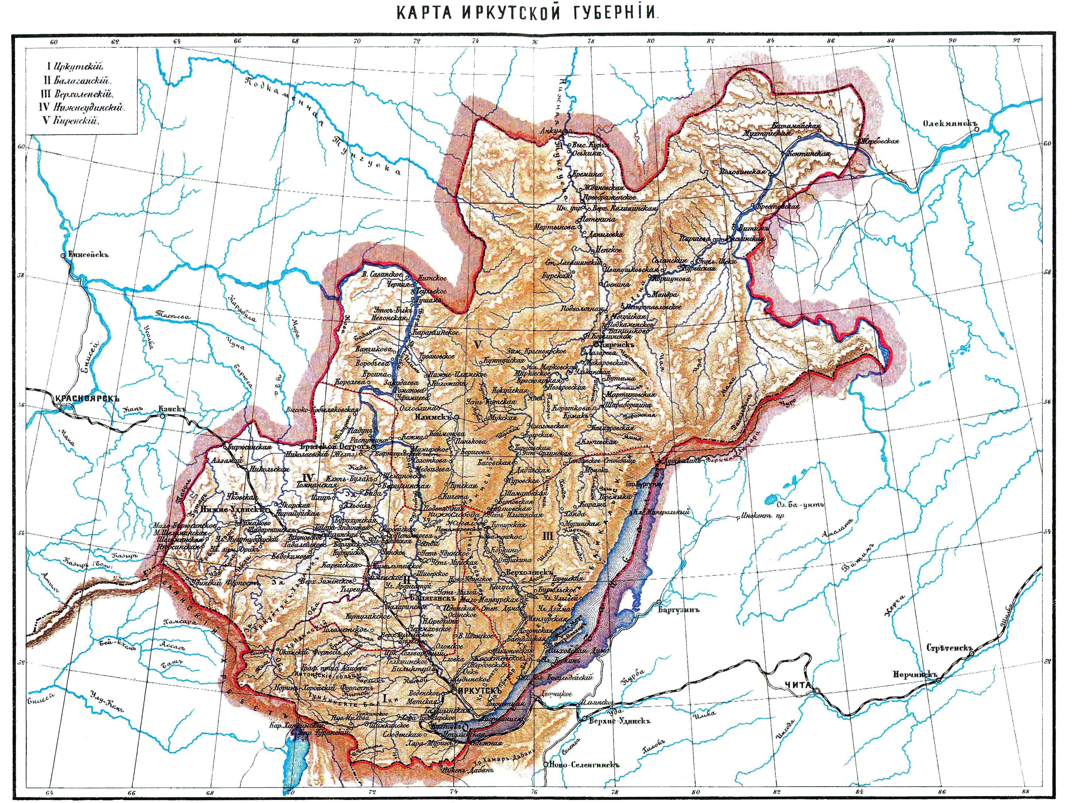
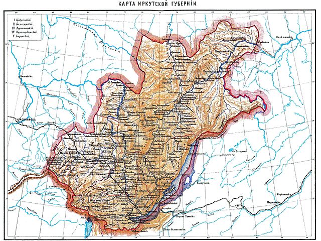
Русский: Карта Иркутской губернии, начало 20 века |
||||||
| Source | http://www.vehi.net/brokgauz/all/045/45329.shtml | ||||||
| Author | Энциклопедия Брокгауза и Ефрона | ||||||
| Permission (Reusing this file) |
|


| Annotations | This image is annotated: View the annotations at Commons |
File history
Click on a date/time to view the file as it appeared at that time.
| Date/Time | Thumbnail | Dimensions | User | Comment | |
|---|---|---|---|---|---|
| current | 16:11, 20 July 2012 | | 3,405 × 2,552 (2.51 MB) | Sasha Krotov (talk | contribs) | HQ |
| 21:09, 10 January 2008 |  | 1,702 × 1,276 (249 KB) | Sasha Krotov (talk | contribs) | {{Information |Description={{ru|Карта Иркутской губернии, начало 20 века}} |Source=http://www.vehi.net/brokgauz/all/045/45329.shtml |Date= |Author=Энциклопедия Брокгауза и Ефрона |Permission={{PD |
You cannot overwrite this file.
File usage on Commons
The following 2 pages use this file:
File usage on other wikis
The following other wikis use this file:
- Usage on be.wikipedia.org
- Usage on bg.wikipedia.org
- Usage on de.wikipedia.org
- Usage on et.wikipedia.org
- Usage on fi.wikipedia.org
- Usage on fr.wikipedia.org
- Usage on it.wikipedia.org
- Usage on ko.wikipedia.org
- Usage on nl.wikipedia.org
- Usage on no.wikipedia.org
- Usage on pl.wikipedia.org
- Usage on ru.wikipedia.org
- Usage on sv.wikipedia.org
- Usage on tr.wikipedia.org
- Usage on uk.wikipedia.org
- Usage on www.wikidata.org