File:Luxembourg city with airport openstreetmap 01.png
Jump to navigation
Jump to search
Size of this preview: 800 × 506 pixels. Other resolutions: 320 × 203 pixels | 640 × 405 pixels | 1,079 × 683 pixels.
Original file (1,079 × 683 pixels, file size: 978 KB, MIME type: image/png)
Captions
Captions
Add a one-line explanation of what this file represents
| Description |
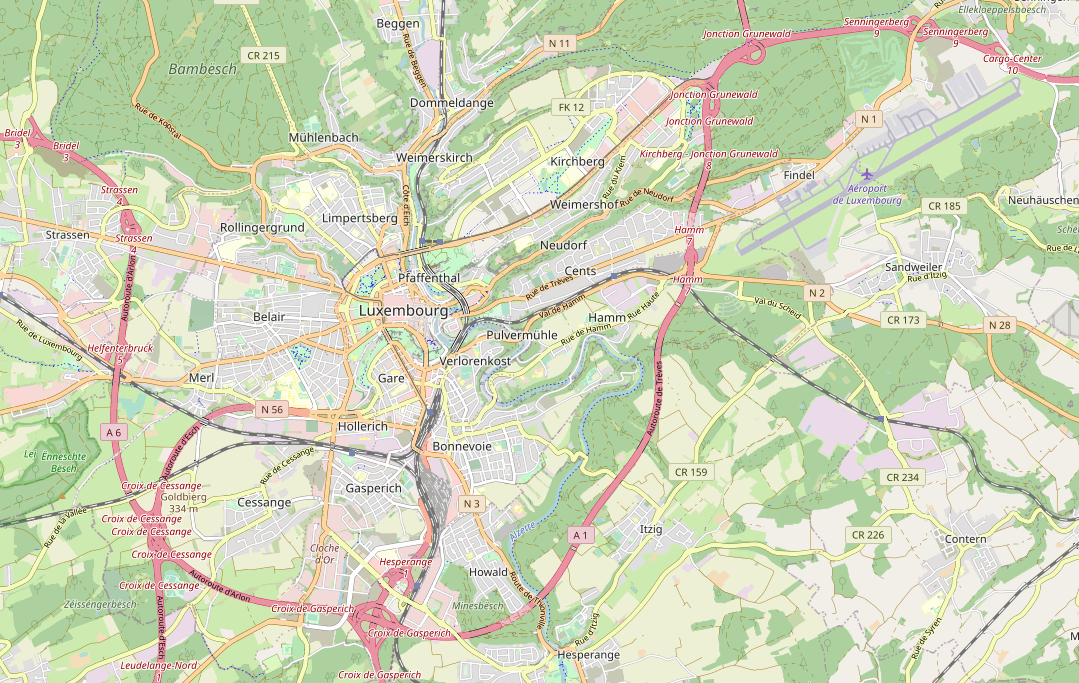
English: Map of Luxembourg-city with the Luxembourg airport at Findel. |
| Date | |
| Source | |
| Author |
|
| Permission (Reusing this file) |
This file is licensed under the Creative Commons Attribution-Share Alike 2.0 Generic license.
|
File history
Click on a date/time to view the file as it appeared at that time.
| Date/Time | Thumbnail | Dimensions | User | Comment | |
|---|---|---|---|---|---|
| current | 16:08, 17 January 2021 | | 1,079 × 683 (978 KB) | R2lx (talk | contribs) | Updated in January 2021 with standard osm view, same extent. |
| 08:10, 26 August 2010 |  | 1,106 × 672 (893 KB) | Christian Ries (talk | contribs) | {{Information |Description={{en|1=Map of Luxembourg-city with the Luxembourg airport at Findel.}} |Source={{own}} |Author=Christian Ries |Date=2010-08-26 |Permission= |other_versions= }} Source of map: http://www.openstreetmap.org/ |
You cannot overwrite this file.
File usage on Commons
The following page uses this file:
File usage on other wikis
The following other wikis use this file:
- Usage on lb.wikipedia.org