File:London Underground Zone 1 with street map.jpg
Original file (1,850 × 1,055 pixels, file size: 679 KB, MIME type: image/jpeg)
Captions
Captions
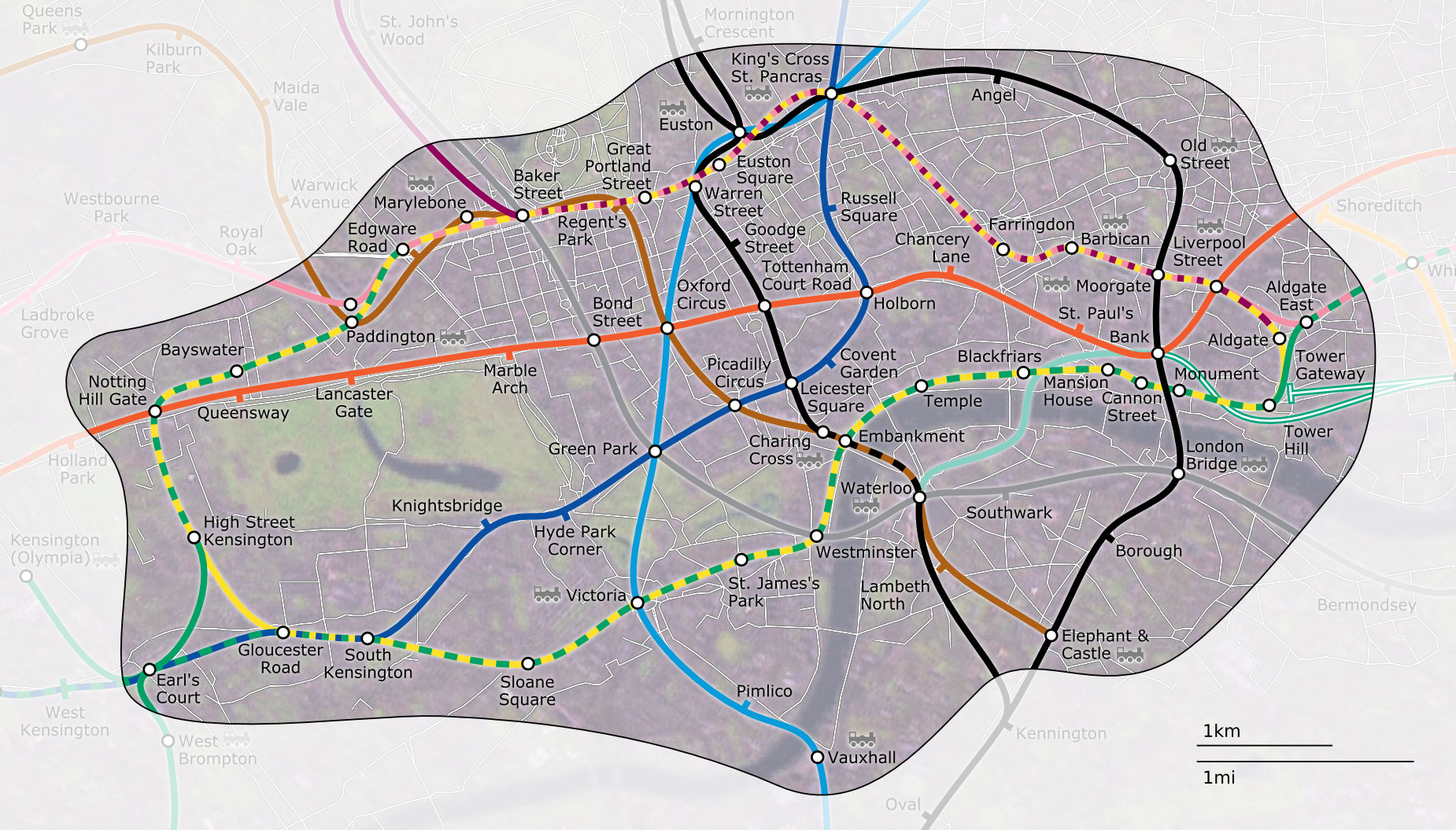
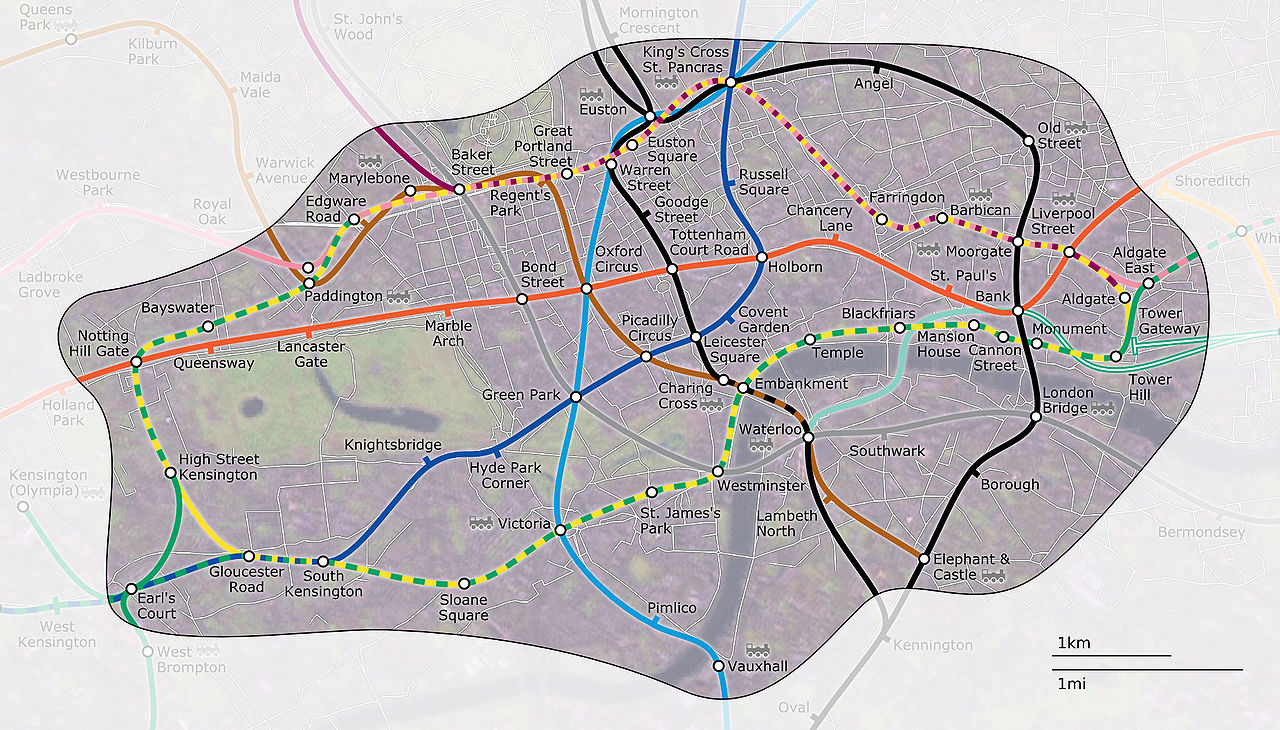
![]() This map is out of date and obsolete - see File:London Underground Zone 1 Highlighted.svg instead.
This map is out of date and obsolete - see File:London Underground Zone 1 Highlighted.svg instead.
Background image from http://www.openstreetmap.org - CC-BY-SA 2.0 copyright OpenStreetMap.org and contributors. Note: This appears to be OpenStreetMap map display from back in 2006 when community contributed wiki style mapping project had very sparse coverage even in central London, and the map display was very rudimentary, showing data with white lines layered over NASA Landsat imagery. Works reasonably well for this illustration though
This is a derivative of London Underground Zone 1.svg, an image generated as part of the London Underground geographic maps project by software written by ed g2s • talk and James D. Forrester utilising GPS data.

|
Permission is granted to copy, distribute and/or modify this document under the terms of the GNU Free Documentation License, Version 1.2 or any later version published by the Free Software Foundation; with no Invariant Sections, no Front-Cover Texts, and no Back-Cover Texts. A copy of the license is included in the section entitled GNU Free Documentation License. |
| This file is licensed under the Creative Commons Attribution-Share Alike 3.0 Unported license. | ||
| ||
| This licensing tag was added to this file as part of the GFDL licensing update. |
- You are free:
- to share – to copy, distribute and transmit the work
- to remix – to adapt the work
- Under the following conditions:
- attribution – You must give appropriate credit, provide a link to the license, and indicate if changes were made. You may do so in any reasonable manner, but not in any way that suggests the licensor endorses you or your use.
- share alike – If you remix, transform, or build upon the material, you must distribute your contributions under the same or compatible license as the original.
File history
Click on a date/time to view the file as it appeared at that time.
| Date/Time | Thumbnail | Dimensions | User | Comment | |
|---|---|---|---|---|---|
| current | 04:35, 16 January 2006 | | 1,850 × 1,055 (679 KB) | Ed g2s (talk | contribs) | {{London Underground geographic map derivative|London Underground Zone 1.svg|London Underground Zone 1 with street map}} |
You cannot overwrite this file.
File usage on Commons
The following page uses this file:
File usage on other wikis
The following other wikis use this file:
- Usage on ca.wikipedia.org
- Usage on en.wikipedia.org
- Usage on it.wikipedia.org
- Usage on pl.wikipedia.org