File:Liniennetzplan Dresden 1960.jpg
Jump to navigation
Jump to search

Size of this preview: 759 × 600 pixels. Other resolutions: 304 × 240 pixels | 608 × 480 pixels | 972 × 768 pixels | 1,280 × 1,011 pixels | 2,560 × 2,023 pixels | 4,992 × 3,944 pixels.
Original file (4,992 × 3,944 pixels, file size: 2.87 MB, MIME type: image/jpeg)
Captions
Captions
Add a one-line explanation of what this file represents
Summary[edit]
| Description |
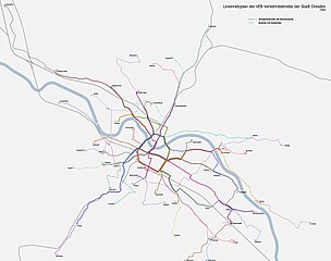
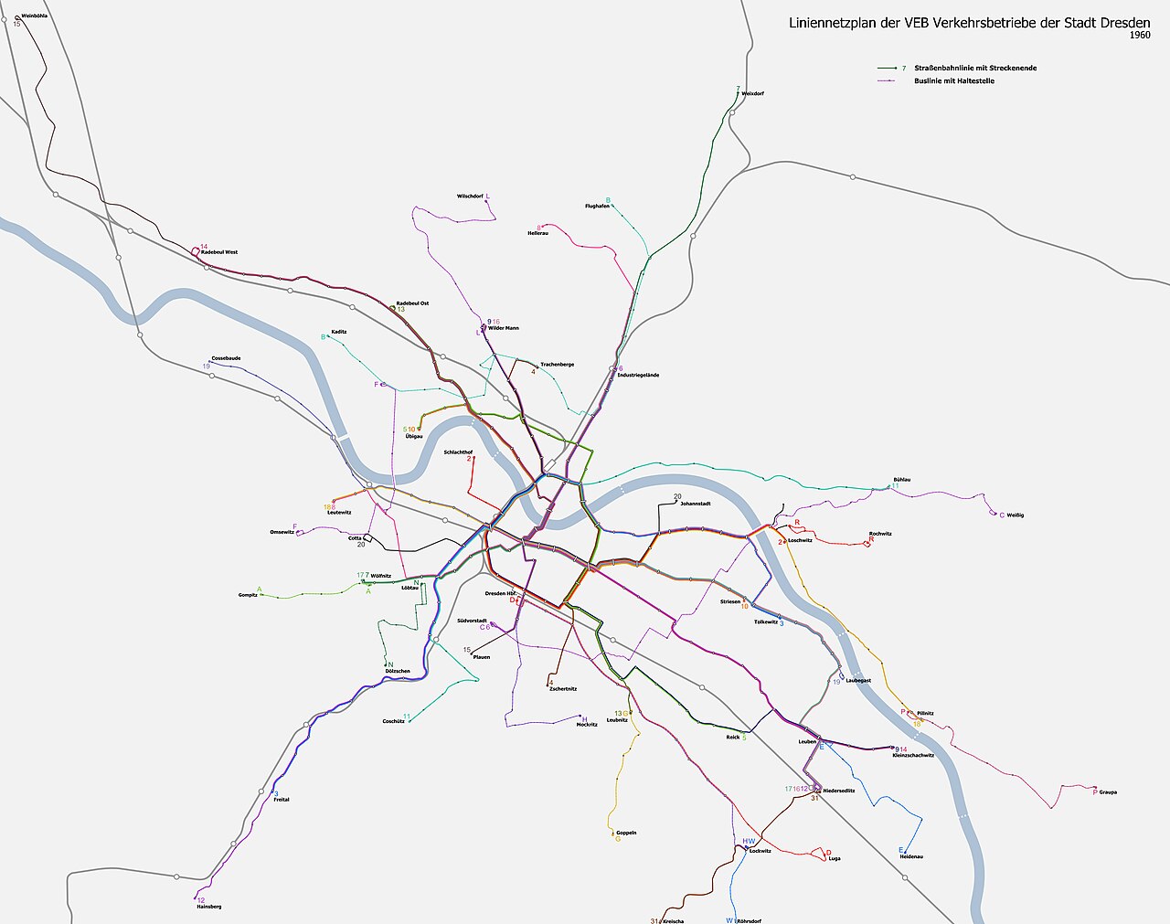
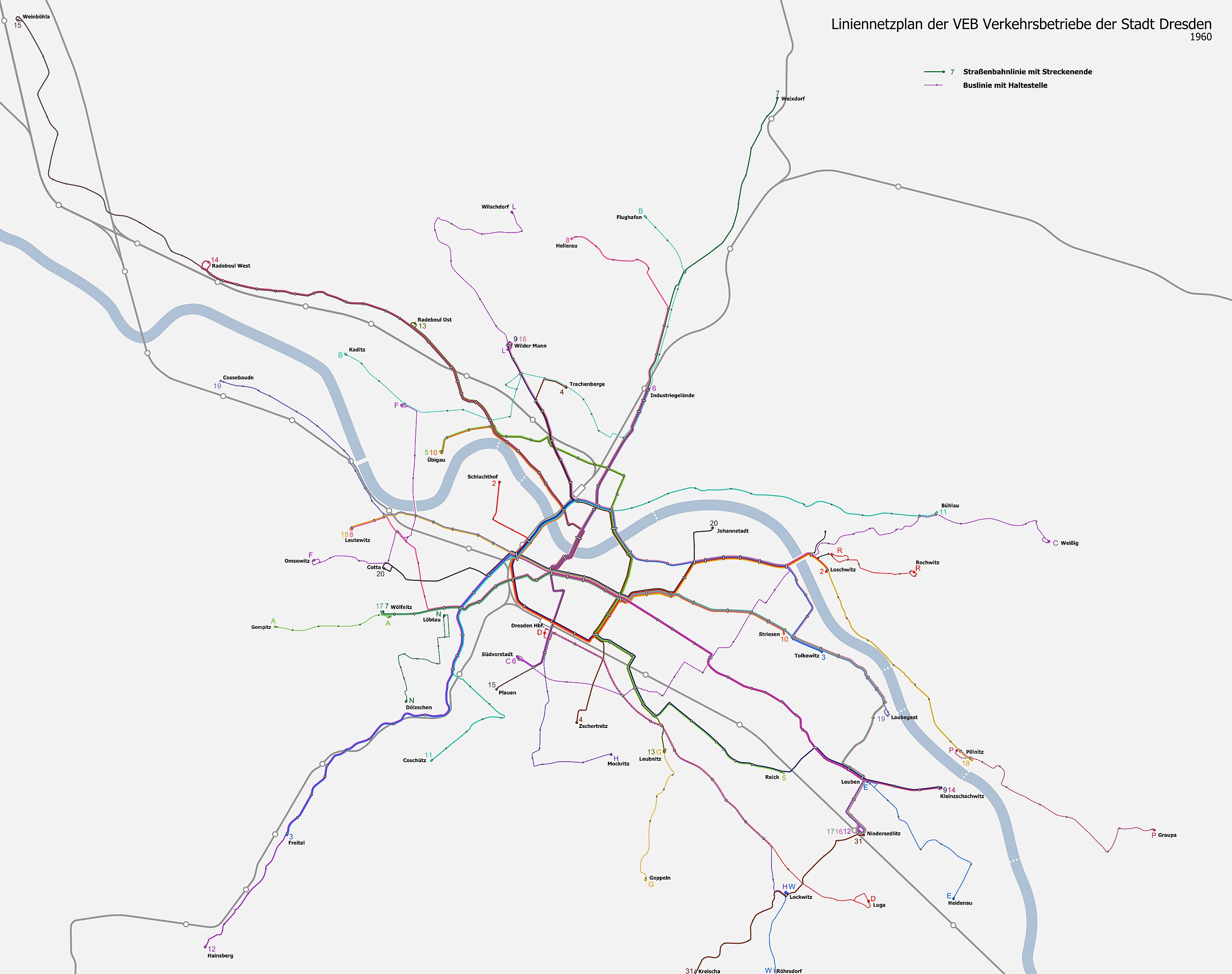
Deutsch: Liniennetzplan der Dresdner Verkehrsbetriebe etwa 1960. Quelle ist "Stadtplan von Dresden 1960", Büro für Vermessungswesen Dresden, MdI der DDR Nr. A 418/2 1960. |
| Date | |
| Source | Own work, derivate of File:Basiskarte Dresden.png |
| Author | Don-kun |
| Other versions |
 |
Licensing[edit]
I, the copyright holder of this work, hereby publish it under the following license:
This file is licensed under the Creative Commons Attribution 3.0 Unported license.
- You are free:
- to share – to copy, distribute and transmit the work
- to remix – to adapt the work
- Under the following conditions:
- attribution – You must give appropriate credit, provide a link to the license, and indicate if changes were made. You may do so in any reasonable manner, but not in any way that suggests the licensor endorses you or your use.
File history
Click on a date/time to view the file as it appeared at that time.
| Date/Time | Thumbnail | Dimensions | User | Comment | |
|---|---|---|---|---|---|
| current | 21:09, 4 March 2011 | | 4,992 × 3,944 (2.87 MB) | Don-kun (talk | contribs) | {{Information |Description ={{de|1=Liniennetzplan der Dresdner Verkehrsbetriebe etwa 1960. Quelle ist "Stadtplan von Dresden 1960", Büro für Vermessungswesen Dresden, MdI der DDR Nr. A 418/2 1960. }} |Source ={{own}}, derivate of [[:File:Basi |
You cannot overwrite this file.
File usage on Commons
The following 2 pages use this file: