File:Langkofel Group from Sellajoch.jpg
Original file (4,288 × 2,848 pixels, file size: 6.2 MB, MIME type: image/jpeg)
Captions
Summary[edit]
DescriptionLangkofel Group from Sellajoch.jpg |
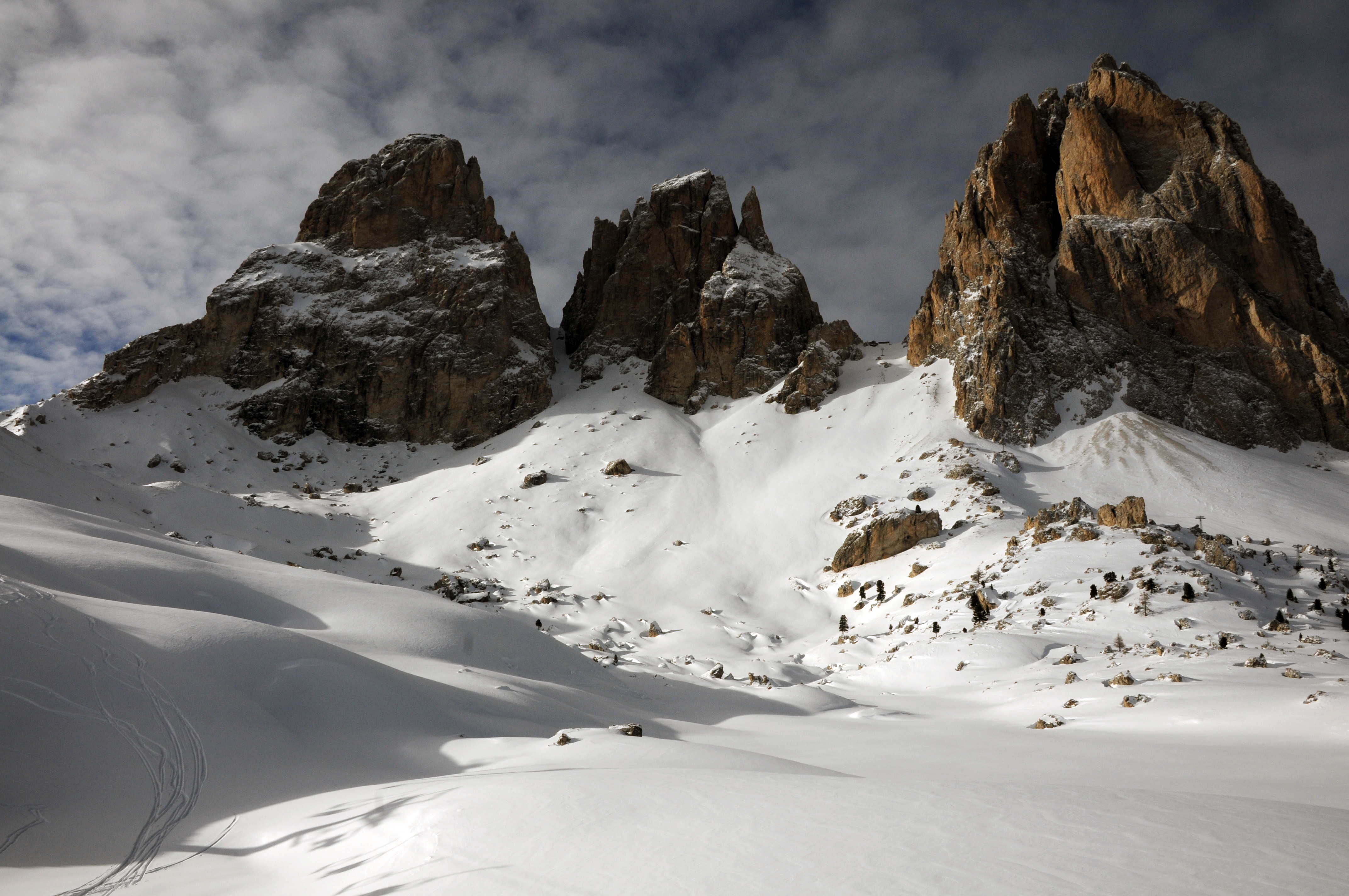
English: The Langkofel Group from the Sella pass. From left to right the Grohmann peak, the Fünffinger, the Langkofel Scharte and the Langkofel Deutsch: Die Langkofelgruppe: von links nach rechts die Grohmannspitze, Fünffinger, Langkofelscharte, Langkofeleck |
||||||
Date | |||||||
Source | Own work | ||||||
Author |
|
Camera location | 46° 30′ 27.83″ N, 11° 45′ 14.62″ E | View this and other nearby images on: OpenStreetMap | 46.507730; 11.754060 |
---|
Licensing[edit]
Permission is granted to copy, distribute and/or modify this document under the terms of the GNU Free Documentation License, Version 1.2 or any later version published by the Free Software Foundation; with no Invariant Sections, no Front-Cover Texts, and no Back-Cover Texts. A copy of the license is included in the section entitled GNU Free Documentation License.http://www.gnu.org/copyleft/fdl.htmlGFDLGNU Free Documentation Licensetruetrue |
This file is licensed under the Creative Commons Attribution-Share Alike 3.0 Unported license. | ||
| ||
This licensing tag was added to this file as part of the GFDL licensing update.http://creativecommons.org/licenses/by-sa/3.0/CC BY-SA 3.0Creative Commons Attribution-Share Alike 3.0truetrue |
Copyleft: This work of art is free; you can redistribute it and/or modify it according to terms of the Free Art License. You will find a specimen of this license on the Copyleft Attitude site as well as on other sites. http://artlibre.org/licence/lal/enFALFree Art Licensefalsetrue |
Annotations InfoField | This image is annotated: View the annotations at Commons |
Saslonch - Langkofel - Sassolungo
Cin dëic - Fünffinger - Cinquedita
Furcela de Saslonch -Langkofelscharte -Forcella del Sassolungo
Polesc - Daumen -Pollice
Sas da Duman - Grohmannspitze - Punta Grohmann (Punta Levante)
Zitá dai sasc - Steinerne Stadt - Città dei sassi
Plan da Cuzin
This image has been assessed using the Quality image guidelines and is considered a Quality image.
العربية ∙ جازايرية ∙ беларуская ∙ беларуская (тарашкевіца) ∙ български ∙ বাংলা ∙ català ∙ čeština ∙ Cymraeg ∙ Deutsch ∙ Schweizer Hochdeutsch ∙ Zazaki ∙ Ελληνικά ∙ English ∙ Esperanto ∙ español ∙ eesti ∙ euskara ∙ فارسی ∙ suomi ∙ français ∙ galego ∙ עברית ∙ हिन्दी ∙ hrvatski ∙ magyar ∙ հայերեն ∙ Bahasa Indonesia ∙ italiano ∙ 日本語 ∙ Jawa ∙ ქართული ∙ 한국어 ∙ kurdî ∙ Lëtzebuergesch ∙ lietuvių ∙ македонски ∙ മലയാളം ∙ मराठी ∙ Bahasa Melayu ∙ Nederlands ∙ Norfuk / Pitkern ∙ polski ∙ português ∙ português do Brasil ∙ rumantsch ∙ română ∙ русский ∙ sicilianu ∙ slovenčina ∙ slovenščina ∙ shqip ∙ српски / srpski ∙ svenska ∙ தமிழ் ∙ తెలుగు ∙ ไทย ∙ Tagalog ∙ Türkçe ∙ toki pona ∙ українська ∙ vèneto ∙ Tiếng Việt ∙ 中文 ∙ 中文(简体) ∙ 中文(繁體) ∙ +/− |
File history
Click on a date/time to view the file as it appeared at that time.
Date/Time | Thumbnail | Dimensions | User | Comment | |
---|---|---|---|---|---|
current | 11:54, 7 April 2009 | 4,288 × 2,848 (6.2 MB) | Moroder (talk | contribs) | {{Information |Description=The Langkofel Group from the Sella pass. From left to right the Grohmann peak, the Fünffinger, the Langkofel Scharte and the Langkofel. |Source=self-made |Date= |Author= Moroder |Permission= |other_versions= }} |
You cannot overwrite this file.
File usage on Commons
The following 5 pages use this file:
File usage on other wikis
The following other wikis use this file:
- Usage on it.wikipedia.org
- Usage on it.wikiversity.org
- Usage on lld.wikipedia.org
Metadata
This file contains additional information such as Exif metadata which may have been added by the digital camera, scanner, or software program used to create or digitize it. If the file has been modified from its original state, some details such as the timestamp may not fully reflect those of the original file. The timestamp is only as accurate as the clock in the camera, and it may be completely wrong.
Camera manufacturer | NIKON CORPORATION |
---|---|
Camera model | NIKON D300 |
Exposure time | 1/640 sec (0.0015625) |
F-number | f/13 |
ISO speed rating | 200 |
Date and time of data generation | 14:34, 25 December 2008 |
Lens focal length | 18 mm |
Orientation | Normal |
Horizontal resolution | 300 dpi |
Vertical resolution | 300 dpi |
Software used | Adobe Photoshop Elements 5.0 Windows |
File change date and time | 13:48, 7 April 2009 |
Y and C positioning | Co-sited |
Exposure Program | Normal program |
Exif version | 2.21 |
Date and time of digitizing | 14:34, 25 December 2008 |
Meaning of each component |
|
Image compression mode | 4 |
APEX exposure bias | 0 |
Maximum land aperture | 3.6 APEX (f/3.48) |
Metering mode | Center weighted average |
Light source | Unknown |
Flash | Flash did not fire |
DateTime subseconds | 17 |
DateTimeOriginal subseconds | 17 |
DateTimeDigitized subseconds | 17 |
Supported Flashpix version | 1 |
Color space | sRGB |
Sensing method | One-chip color area sensor |
File source | Digital still camera |
Scene type | A directly photographed image |
Custom image processing | Normal process |
Exposure mode | Auto exposure |
White balance | Auto white balance |
Digital zoom ratio | 1 |
Focal length in 35 mm film | 27 mm |
Scene capture type | Standard |
Scene control | None |
Contrast | Normal |
Saturation | Normal |
Sharpness | Normal |
Subject distance range | Unknown |
GPS tag version | 2.2.0.0 |
Supported Flashpix version | 1 |
Image width | 4,288 px |
Image height | 2,848 px |
Date metadata was last modified | 15:48, 7 April 2009 |
Structured data
Items portrayed in this file
depicts
some value
25 December 2008
46°30'27.83"N, 11°45'14.62"E
- Photos by Moroder
- Files with coordinates missing SDC location of creation
- License migration redundant
- GFDL
- CC-BY-SA-3.0-migrated
- FAL
- Self-published work
- Images with annotations
- Quality images
- Quality images missing SDC depicts
- Quality images by Moroder
- Quality images of South Tyrol
- Moroder/Dolomites
- Pages with maps