File:Kme2.png
Jump to navigation
Jump to search
Size of this preview: 567 × 599 pixels. Other resolutions: 227 × 240 pixels | 454 × 480 pixels | 687 × 726 pixels.
Original file (687 × 726 pixels, file size: 134 KB, MIME type: image/png)
Captions
Captions
Add a one-line explanation of what this file represents
Summary[edit]

|
This transport map image could be re-created using vector graphics as an SVG file. This has several advantages; see Commons:Media for cleanup for more information. If an SVG form of this image is available, please upload it and afterwards replace this template with
{{vector version available|new image name}}.
It is recommended to name the SVG file “Kme2.svg”—then the template Vector version available (or Vva) does not need the new image name parameter. |
| Description |
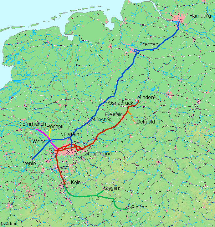
Deutsch: Karte der Strecken der de:Köln-Mindener Eisenbahn-Gesellschaft, Kartenquelle: http://www.demis.nl/mapserver/mapper.asp, Bearbeitung durch Ulamm 13:00, 28 March 2008 (UTC)
|
| Date | 6 October 2004 (original upload date) |
| Source | Originally from de.wikipedia; description page was here. |
| Author | The original uploader was Markus Schweiß at German Wikipedia. |
Licensing[edit]

|
Permission is granted to copy, distribute and/or modify this document under the terms of the GNU Free Documentation License, Version 1.2 or any later version published by the Free Software Foundation; with no Invariant Sections, no Front-Cover Texts, and no Back-Cover Texts. A copy of the license is included in the section entitled GNU Free Documentation License. |
Original upload log[edit]
(All user names refer to de.wikipedia)
- 2004-10-06 17:18 Markus Schweiß 687×726×8 (189352 bytes) Karte der Strecken der [[Köln-Mindener Eisenbahn]], Kartenquelle: [ http://www.demis.nl/mapserver/mapper.asp] {{Bild-GFDL}
File history
Click on a date/time to view the file as it appeared at that time.
| Date/Time | Thumbnail | Dimensions | User | Comment | |
|---|---|---|---|---|---|
| current | 23:46, 28 March 2008 | | 687 × 726 (134 KB) | Ulamm (talk | contribs) | |
| 13:00, 28 March 2008 |  | 687 × 726 (133 KB) | Ulamm (talk | contribs) | {{Information |Description=Karte der Strecken der de:Köln-Mindener Eisenbahn-Gesellschaft, Kartenquelle: [ http://www.demis.nl/mapserver/mapper.asp] |Source=Originally from [http://de.wikipedia.org de.wikipedia]; description page is/was [http://de.w |
You cannot overwrite this file.
File usage on Commons
The following 4 pages use this file:
File usage on other wikis
The following other wikis use this file:
- Usage on de.wikipedia.org
- Köln-Mindener Eisenbahn-Gesellschaft
- Bahnstrecke Hamm–Minden
- Bahnstrecke Köln–Duisburg
- Bahnstrecke Duisburg–Dortmund
- Bahnstrecke Dortmund–Hamm
- Hamburg-Venloer Bahn
- Bahnstrecke Haltern–Venlo
- Stammstrecke der Köln-Mindener Eisenbahn-Gesellschaft
- Bahnstrecke Deutz–Gießen
- Bickern
- Benutzer:Historischer Schienenverkehr Wesel/Historischer Schienenverkehr Wesel
- Historischer Schienenverkehr Wesel
- Usage on en.wikipedia.org
- Usage on hu.wikipedia.org
- Usage on ja.wikipedia.org
- Usage on nl.wikipedia.org
- Usage on no.wikipedia.org
- Usage on sv.wikipedia.org
- Usage on www.wikidata.org
- Usage on zh.wikipedia.org