File:Karte des Kreises Lauenburg i. Pom. (1911).jpg
Jump to navigation
Jump to search

Size of this preview: 445 × 600 pixels. Other resolutions: 178 × 240 pixels | 356 × 480 pixels | 570 × 768 pixels | 760 × 1,024 pixels | 1,520 × 2,048 pixels | 3,018 × 4,066 pixels.
Original file (3,018 × 4,066 pixels, file size: 5.22 MB, MIME type: image/jpeg)
Captions
Captions
Add a one-line explanation of what this file represents
Summary
[edit].jpg&action=edit§ion=1)
| Description |
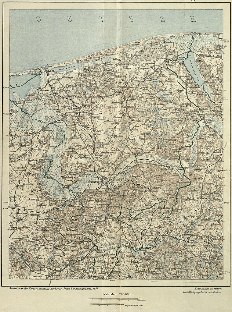
Deutsch: Kreis Lauenburg, Hinterpommern, Karte des Landkreises von 1911, Karte bearbeitet von Königlich Preußischer Landesaufnahme |
| Date | |
| Source | Schulz, Franz (1912) Geschichte des Kreises Lauenburg in Pommern, Lębork |
| Author | Unknown author |
Licensing
[edit].jpg&action=edit§ion=2)
|
This work is in the public domain in its country of origin and other countries and areas where the copyright term is the author's life plus 100 years or fewer. This work is in the public domain in the United States because it was published (or registered with the U.S. Copyright Office) before January 1, 1929. | |
| This file has been identified as being free of known restrictions under copyright law, including all related and neighboring rights. | |
File history
Click on a date/time to view the file as it appeared at that time.
| Date/Time | Thumbnail | Dimensions | User | Comment | |
|---|---|---|---|---|---|
| current | 19:41, 29 December 2020 | | 3,018 × 4,066 (5.22 MB) | Iwan Solodownikoff (talk | contribs) | {{Information |Beschreibung = Kreis Lauenburg, Hinterpommern, Karte des Landkreises von 1911 |Quelle = Franz Schulz: ''Geschichte des Kreises Lauenburg in Pommern'', Lauenburg 1912, Karte befindet sich im Anhang des Buchs, E-Kopie: https://digitale-bibliothek-mv.de/viewer/image/PPN733599435/492/-/ |Urheber = unbekannt, Karte bearbeitet von Königl. Preußischer Landesaufnahme |Datum = 1911 |Genehmigung = Urheber unbekannt, Karte älter als 100 Jahre |Ander… |
You cannot overwrite this file.
File usage on Commons
There are no pages that use this file.
File usage on other wikis
The following other wikis use this file:
- Usage on de.wikipedia.org
- Usage on fr.wikipedia.org
.jpg&oldid=643881669)