File:JNR-EF67-1.jpg
Jump to navigation
Jump to search
Size of this preview: 800 × 410 pixels. Other resolutions: 320 × 164 pixels | 640 × 328 pixels | 1,024 × 525 pixels | 1,280 × 656 pixels | 2,536 × 1,300 pixels.
Original file (2,536 × 1,300 pixels, file size: 656 KB, MIME type: image/jpeg)
Captions
Captions
Add a one-line explanation of what this file represents
Summary[edit]
| Description |
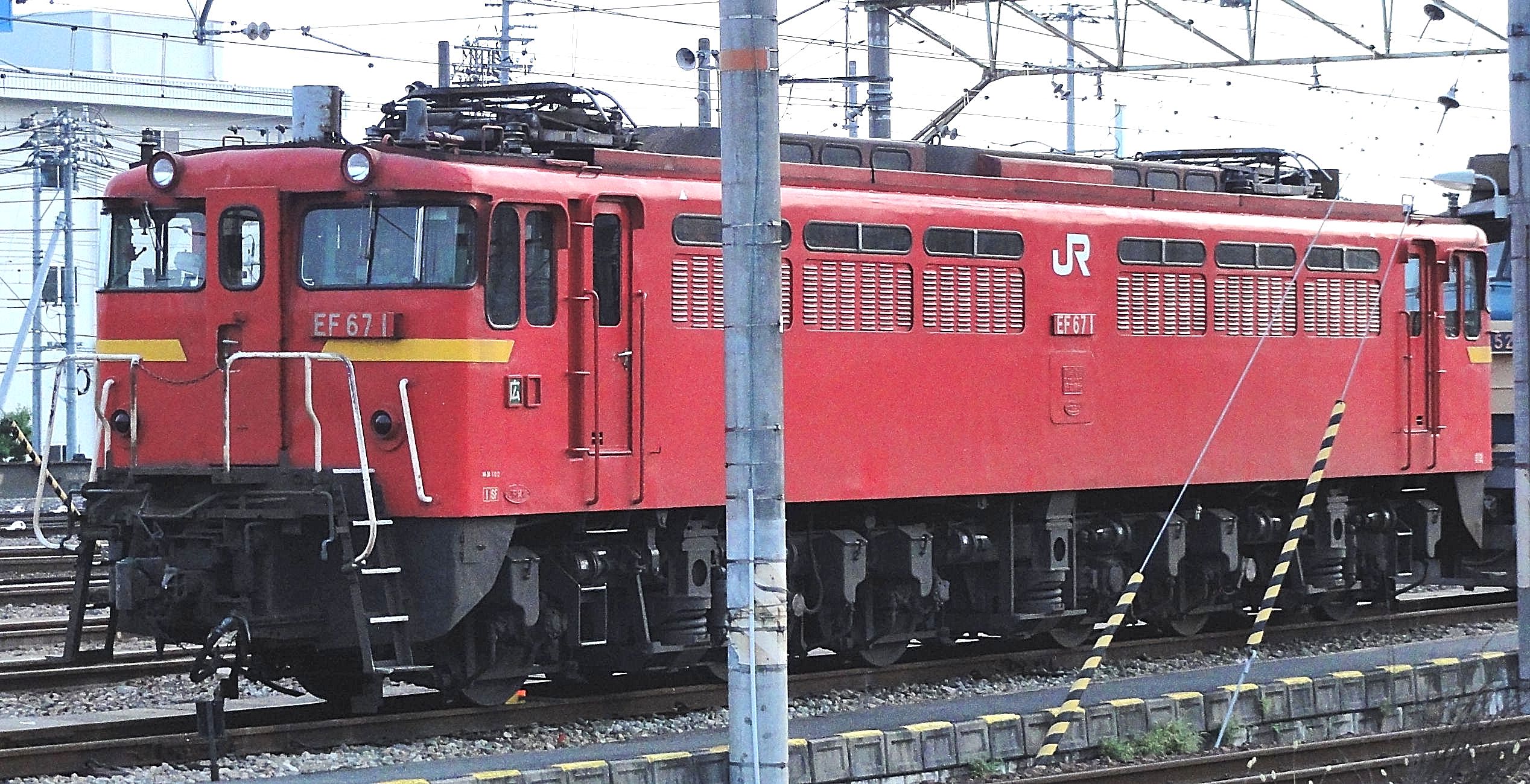
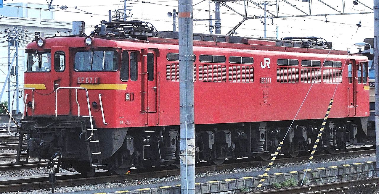
English: JR Freight Class EF67 electric locomotive EF67 1
日本語: EF67 1 電気機関車
Rsaが西日本旅客鉄道 山陽本線 天神川駅 で撮影 |
| Date | |
| Source | Own work |
| Author | Rsa |
| Camera location | | View this and other nearby images on: OpenStreetMap |
|---|
Licensing[edit]
I, the copyright holder of this work, hereby publish it under the following licenses:

|
Permission is granted to copy, distribute and/or modify this document under the terms of the GNU Free Documentation License, Version 1.2 or any later version published by the Free Software Foundation; with no Invariant Sections, no Front-Cover Texts, and no Back-Cover Texts. A copy of the license is included in the section entitled GNU Free Documentation License. |
| This file is licensed under the Creative Commons Attribution-Share Alike 3.0 Unported license. | ||
| ||
| This licensing tag was added to this file as part of the GFDL licensing update. |
You may select the license of your choice.
File history
Click on a date/time to view the file as it appeared at that time.
| Date/Time | Thumbnail | Dimensions | User | Comment | |
|---|---|---|---|---|---|
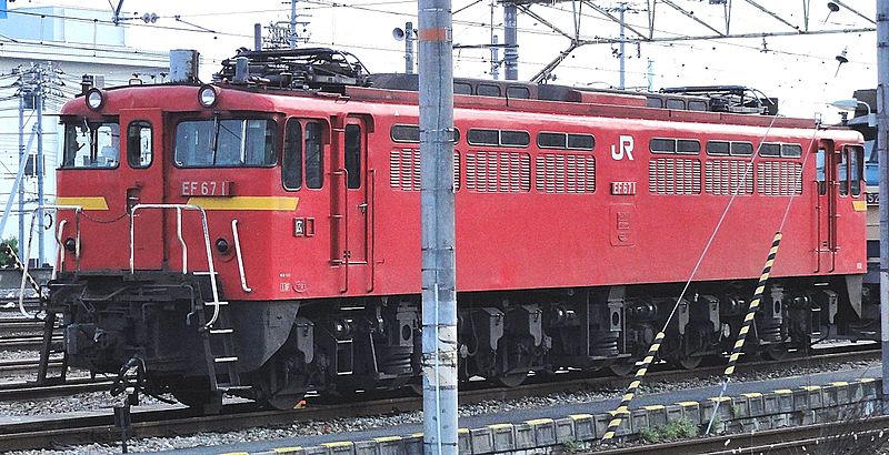
| current | 04:34, 18 September 2011 | | 2,536 × 1,300 (656 KB) | Toshinori baba (talk | contribs) | 写真の修正(輪郭の強調や明るさや影などの修正) |
| 03:00, 18 September 2011 |  | 2,536 × 1,300 (472 KB) | Rsa (talk | contribs) | == ファイルの概要 == {{Information |Description=EF67 1 電気機関車 |Source=Rsaが西日本旅客鉄道 山陽本線 天神川駅 で撮影 |Date=2011年7月30日 |Author=Rsa |Permission=GFDL }} == Lice |
You cannot overwrite this file.
File usage on Commons
There are no pages that use this file.
File usage on other wikis
The following other wikis use this file:
- Usage on zh.wikipedia.org