File:Italy Labelled Map Scalable.svg
Jump to navigation
Jump to search

Size of this PNG preview of this SVG file: 480 × 600 pixels. Other resolutions: 192 × 240 pixels | 384 × 480 pixels | 614 × 768 pixels | 819 × 1,024 pixels | 1,638 × 2,048 pixels | 1,200 × 1,500 pixels.
Original file (SVG file, nominally 1,200 × 1,500 pixels, file size: 1.2 MB)
Captions
Captions
Add a one-line explanation of what this file represents
Summary[edit]
| Description |
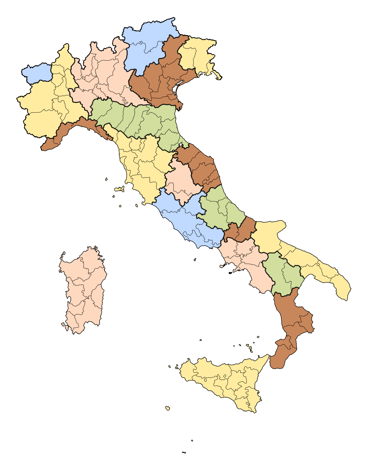
English: Schematic map of the italian regions and provinces Italiano: Mappa delle regioni e province italiane |
||
| Date | (UTC) | ||
| Source |
This file was derived from: Italian regions provinces white no labels.svg: |
||
| Author | |||
| SVG development | This W3C-invalid map was created with Adobe Illustrator after Sodipodi generation
|
Licensing[edit]
I, the copyright holder of this work, hereby publish it under the following license:
| I, the copyright holder of this work, release this work into the public domain. This applies worldwide. In some countries this may not be legally possible; if so: I grant anyone the right to use this work for any purpose, without any conditions, unless such conditions are required by law. |
Original upload log[edit]
This image is a derivative work of the following images:
- File:Italian_regions_provinces_white_no_labels.svg licensed with PD-self
Uploaded with derivativeFX
File history
Click on a date/time to view the file as it appeared at that time.
| Date/Time | Thumbnail | Dimensions | User | Comment | |
|---|---|---|---|---|---|
| current | 05:17, 28 October 2013 | | 1,200 × 1,500 (1.2 MB) | Begoon (talk | contribs) | == {{int:filedesc}} == {{Information |Description={{en|1=Schematic map of the italian regions and provinces}} {{it|1=Mappa delle regioni e province italiane}} |Source={{Derived from|Italian_regions_provinces_white_no_labels.svg|display=50}} |Date=2013-... |
You cannot overwrite this file.
File usage on Commons
There are no pages that use this file.
File usage on other wikis
The following other wikis use this file:
- Usage on incubator.wikimedia.org