File:Israel 2004.png
Jump to navigation
Jump to search
Size of this preview: 278 × 598 pixels. Other resolutions: 111 × 240 pixels | 223 × 480 pixels | 700 × 1,506 pixels.
Original file (700 × 1,506 pixels, file size: 34 KB, MIME type: image/png)
Captions
Captions
Add a one-line explanation of what this file represents
Summary[edit]
| Description |
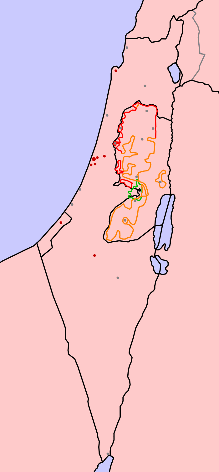
Deutsch: Karte Israel 2004: Die Karte habe ich selbst erstellt. Als Vorlage diente die Karte aus dem CIA World Factbook.
Legende
English: Map of Israel 2004: Based on a map from the CIA World Factbook.
Legend
|
| Date | 24 April 2004 (original upload date) |
| Source | Transferred from de.wikipedia to Commons. |
| Author | NeS Troj at German Wikipedia |
Licensing[edit]
NeS Troj at the German-language Wikipedia, the copyright holder of this work, hereby publishes it under the following license:

|
Permission is granted to copy, distribute and/or modify this document under the terms of the GNU Free Documentation License, Version 1.2 or any later version published by the Free Software Foundation; with no Invariant Sections, no Front-Cover Texts, and no Back-Cover Texts. A copy of the license is included in the section entitled GNU Free Documentation License. |
| This file is licensed under the Creative Commons Attribution-Share Alike 3.0 Unported license. | ||
| Attribution: NeS Troj | ||
| ||
| This licensing tag was added to this file as part of the GFDL licensing update. |
Original upload log[edit]
The original description page was here. All following user names refer to de.wikipedia.
- 2004-04-24 18:41 NeS Troj 700×1506×8 (34348 bytes) Karte Israel 2004: Die Karte habe ich selbst erstellt. Als Vorlage diente die Karte aus dem CIA World Factbook, die Lizenz ist GNU-FDL!

|
This historical map image could be re-created using vector graphics as an SVG file. This has several advantages; see Commons:Media for cleanup for more information. If an SVG form of this image is available, please upload it and afterwards replace this template with
{{vector version available|new image name}}.
It is recommended to name the SVG file “Israel 2004.svg”—then the template Vector version available (or Vva) does not need the new image name parameter. |
File history
Click on a date/time to view the file as it appeared at that time.
| Date/Time | Thumbnail | Dimensions | User | Comment | |
|---|---|---|---|---|---|
| current | 15:08, 7 January 2007 | | 700 × 1,506 (34 KB) | Kordas (talk | contribs) | {{Information |Description=Karte Israel 2004: Die Karte habe ich selbst erstellt. Als Vorlage diente die Karte aus dem CIA World Factbook. ==Legende== *Schwarze Linie: Offizielle Staatsgrenzen (einschließlich der Grenzen der Palästinensischen Autonomie |
You cannot overwrite this file.
File usage on Commons
There are no pages that use this file.
File usage on other wikis
The following other wikis use this file:
- Usage on ast.wikipedia.org
- Usage on ca.wikipedia.org
- Usage on es.wikipedia.org
- Usage on sh.wikipedia.org