File:GroningenA28.jpg
Jump to navigation
Jump to search
Size of this preview: 450 × 600 pixels. Other resolutions: 180 × 240 pixels | 486 × 648 pixels.
Original file (486 × 648 pixels, file size: 37 KB, MIME type: image/jpeg)
Captions
Captions
Add a one-line explanation of what this file represents
Summary[edit]
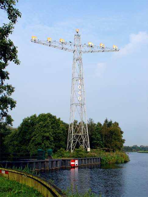
| Description | Mast - herkenningspunt bij binnenkomst van Groningen via de A28. |
| Date | 31 May 2006 (original upload date) |
| Source | Transferred from nl.wikipedia to Commons. |
| Author | Gouwenaar at Dutch Wikipedia |
| Camera location | | View this and other nearby images on: OpenStreetMap |
|---|
Licensing[edit]
| This work has been released into the public domain by its author, Gouwenaar at Dutch Wikipedia. This applies worldwide. In some countries this may not be legally possible; if so: Gouwenaar grants anyone the right to use this work for any purpose, without any conditions, unless such conditions are required by law. |
Original upload log[edit]
The original description page was here. All following user names refer to nl.wikipedia.
- 2006-05-31 17:27 Gouwenaar 486×648×8 (38173 bytes) Mast - herkeningspunt bij binnenkomst van Groningen via de A28.
File history
Click on a date/time to view the file as it appeared at that time.
| Date/Time | Thumbnail | Dimensions | User | Comment | |
|---|---|---|---|---|---|
| current | 11:00, 19 March 2007 | | 486 × 648 (37 KB) | SieBot (talk | contribs) | {{Information |Description=Mast - herkenningspunt bij binnenkomst van Groningen via de A28. nl:Categorie:Afbeelding Groningen |Source=Originally from [http://nl.wikipedia.org nl.wikipedia]; description page is/was [http://nl.wikipedia.org/w/index. |
You cannot overwrite this file.
File usage on Commons
The following page uses this file:
File usage on other wikis
The following other wikis use this file:
- Usage on nl.wikipedia.org