File:Germany general map.jpg
Jump to navigation
Jump to search
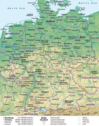
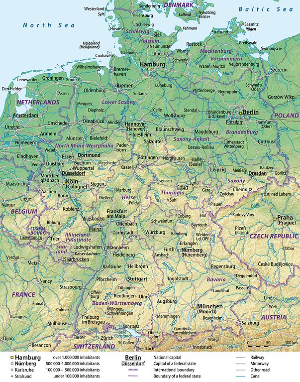
Size of this preview: 471 × 599 pixels. Other resolutions: 189 × 240 pixels | 377 × 480 pixels | 603 × 768 pixels | 805 × 1,024 pixels | 1,979 × 2,518 pixels.
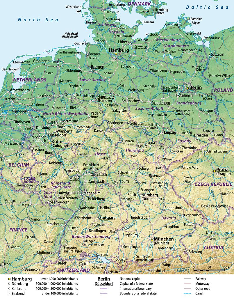
Original file (1,979 × 2,518 pixels, file size: 3.95 MB, MIME type: image/jpeg)
Captions
Captions
Add a one-line explanation of what this file represents
Summary[edit]
| Description |
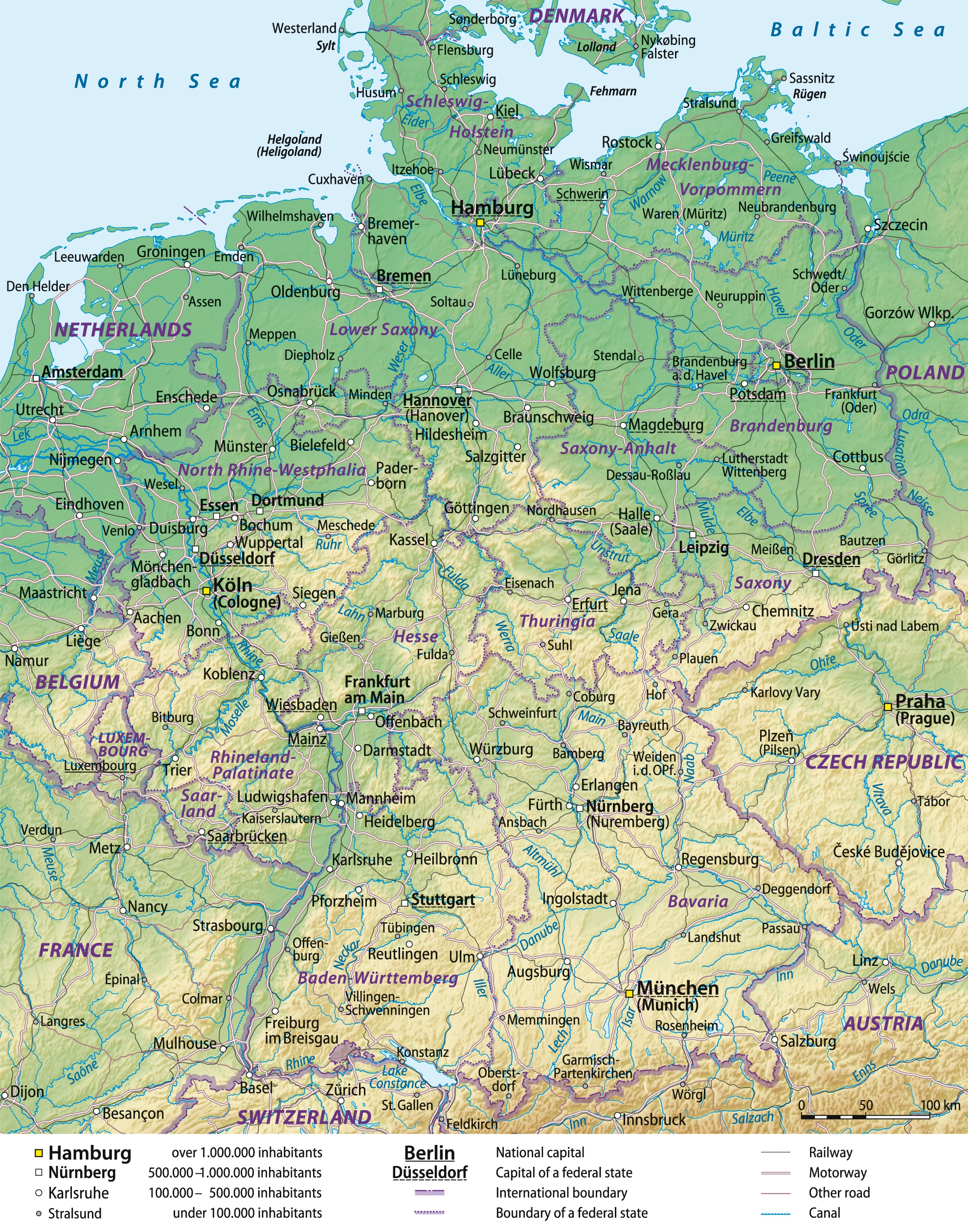
JPEG version of File:Germany_general_map.png Deutsch: Übersichtskarte von Deutschland, englische Version
English: General map of Germany, English version
Français : Carte générale de l'Allemagne, en anglais |
||
| Date | 08-06-2008 | ||
| Source |
Self made, using Generic Mapping Tools (source code below), based on United States National Imagery and Mapping Agency data.
|
||
| Author | Lencer and NordNordWest | ||
| Permission (Reusing this file) |
I, the copyright holder of this work, hereby publish it under the following licenses:
This file is licensed under the Creative Commons Attribution-Share Alike 3.0 Unported license.
You may select the license of your choice. |
||
| Other versions |


Source code[edit]
- color_table based of fr:Aide:Cartographie:
# ih_land_de.cpt
   0 148 191 139    200 189 204 150
 200 189 204 150    500 239 235 192
 500 239 235 192   1000 222 214 163
1000 222 214 163   2000 202 185 130
2000 202 185 130   5000 192 154  83
B 148 191 139
F 192 154  83
N 148 191 139
- Creating the background with Generic Mapping Tools (GMT) archive copy at the Wayback Machine and Globe
xyz2grd c10g -R0/90/50/90 -I30c -N-500 -F -ZTLh -Gc10g.grd
xyz2grd g10g -R0/90/0/50 -I30c -N-500 -F -ZTLh -Gg10g.grd
grdpaste c10g.grd g10g.grd -Gih_land_de.grd
grdgradient ih_land_de.grd -A305 -Ne0.2 -Gih_schatten_de.grd
pscoast -JL10/51/42/54/18c -R5/47/16/55r -Gc -Dh -P -K >ih_de.ps
grdimage ih_land_de.grd -Iih_schatten_de.grd -Cih_land_de.cpt -JL10/51/42/54/18c -R5/47/16/55r -P -K -O >>ih_de.ps
pscoast -JL10/51/42/54/18c -R5/47/16/55r -Q -O >>ih_de.ps
See the German GMT-helppage for further instructions.
File history
Click on a date/time to view the file as it appeared at that time.
| Date/Time | Thumbnail | Dimensions | User | Comment | |
|---|---|---|---|---|---|
| current | 14:49, 1 February 2013 | | 1,979 × 2,518 (3.95 MB) | Adam Cuerden (talk | contribs) | == {{int:filedesc}} == {{Information |Description= JPEG version of File:Germany_general_map.png {{de|Übersichtskarte von Deutschland, englische Version}} {{en|General map of Germany, English version}} {{fr|Ca... |
You cannot overwrite this file.
File usage on Commons
There are no pages that use this file.