File:Fukushima city center area Aerial photograph.2016.jpg
Jump to navigation
Jump to search

Size of this preview: 800 × 586 pixels. Other resolutions: 320 × 234 pixels | 640 × 469 pixels | 1,024 × 750 pixels | 1,280 × 938 pixels | 2,560 × 1,876 pixels | 15,000 × 10,991 pixels.
Original file (15,000 × 10,991 pixels, file size: 166.82 MB, MIME type: image/jpeg)
Captions
Captions
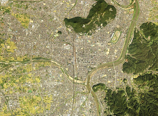
Fukushima city center area Aerial photograph.2016.
Summary[edit]
| Description |
日本語: 福島市中心部付近の空中写真。CTO201613-C1-6からCTO201613-C1-13、CTO201613-C2-6からCTO201613-C2-13、CTO201613-C3-7からCTO201613-C3-14の合計24枚を合成作成。
English: Fukushima city center area Aerial photograph.2016. |
| Date | |
| Source | 国土情報ウェブマッピングシステム |
| Author | 国土地理院 |
Licensing[edit]

|
The copyright holder of this file, the Ministry of Land, Infrastructure, Transport and Tourism of Japan, allows anyone to use it for any purpose, provided that the copyright holder is properly attributed. Redistribution, derivative work, commercial use, and all other use is permitted. |
Attribution:
Copyright © National Land Image Information (Color Aerial Photographs), Ministry of Land, Infrastructure, Transport and Tourism
|
 |
This image is copyrighted by the Ministry of Land, Infrastructure, Transport and Tourism of Japan. For terms of use, see the stipulation to use of National Land Information (in Japanese) and message from MLIT (in Japanese and English). When you display this image on an article, include the following phrase in the description: "Made based on National Land Image Information (Color Aerial Photographs), Ministry of Land, Infrastructure, Transport and Tourism".
|
File history
Click on a date/time to view the file as it appeared at that time.
| Date/Time | Thumbnail | Dimensions | User | Comment | |
|---|---|---|---|---|---|
| current | 01:48, 2 May 2024 | | 15,000 × 10,991 (166.82 MB) | さかおり (talk | contribs) | Uploaded a work by 国土地理院 from 国土情報ウェブマッピングシステム with UploadWizard |
You cannot overwrite this file.
File usage on Commons
There are no pages that use this file.
File usage on other wikis
The following other wikis use this file:
- Usage on ja.wikipedia.org