File:France fond de carte 101 départements.png
Jump to navigation
Jump to search
Size of this preview: 648 × 599 pixels. Other resolutions: 260 × 240 pixels | 519 × 480 pixels | 831 × 768 pixels | 1,108 × 1,024 pixels | 2,215 × 2,048 pixels.
Original file (2,215 × 2,048 pixels, file size: 754 KB, MIME type: image/png)
Captions
Captions
Add a one-line explanation of what this file represents
Summary[edit]
| Description |
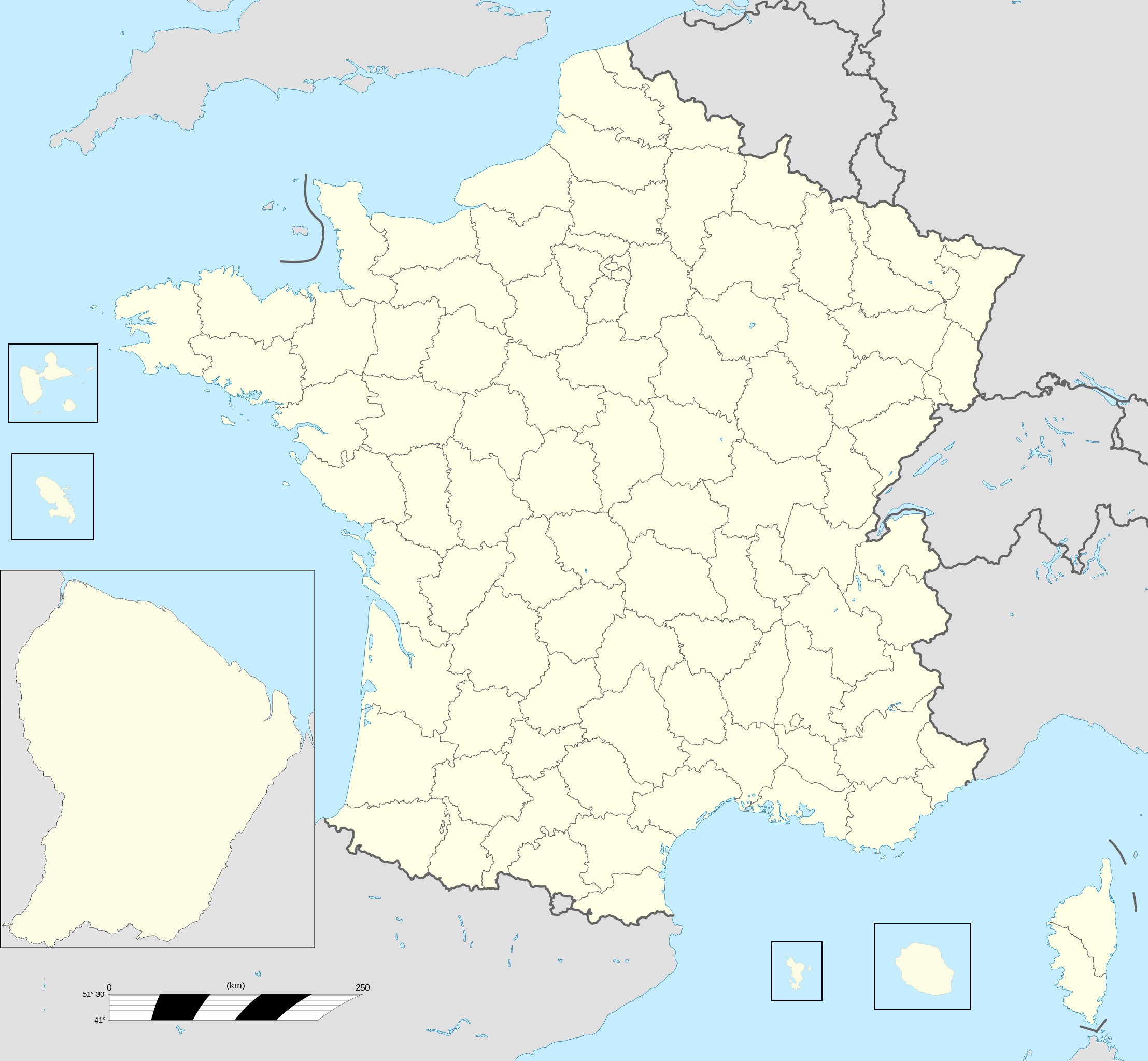
Français : Fond de carte des 101 départements de France à la même échelle géographique. English: Blank map of France's 101 departments at the same geographical scale. |
| Date | |
| Source | Own work |
| Author | Rosss |
Map created based on File:France location map-Departements.svg by User:Sting for Metropolitan France.
Licensing[edit]
I, the copyright holder of this work, hereby publish it under the following license:
This file is licensed under the Creative Commons Attribution-Share Alike 3.0 Unported license.
- You are free:
- to share – to copy, distribute and transmit the work
- to remix – to adapt the work
- Under the following conditions:
- attribution – You must give appropriate credit, provide a link to the license, and indicate if changes were made. You may do so in any reasonable manner, but not in any way that suggests the licensor endorses you or your use.
- share alike – If you remix, transform, or build upon the material, you must distribute your contributions under the same or compatible license as the original.
File history
Click on a date/time to view the file as it appeared at that time.
| Date/Time | Thumbnail | Dimensions | User | Comment | |
|---|---|---|---|---|---|
| current | 05:59, 12 April 2012 | | 2,215 × 2,048 (754 KB) | Rosss (talk | contribs) |
You cannot overwrite this file.
File usage on Commons
The following 2 pages use this file: