File:France South West relief location map.jpg
Jump to navigation
Jump to search
Size of this preview: 615 × 600 pixels. Other resolutions: 246 × 240 pixels | 492 × 480 pixels | 860 × 839 pixels.
Original file (860 × 839 pixels, file size: 294 KB, MIME type: image/jpeg)
Captions
Captions
Add a one-line explanation of what this file represents
Summary[edit]
| Description |
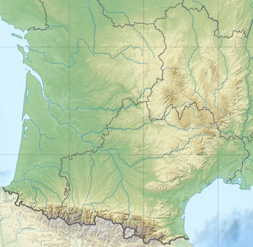
English: Blank physical map of South Western France for geo-location purpose.
Scale : 1:14 816 000 (accuracy : about 3,7 km) for the bathymetry Français : Carte physique vierge du Sud-Ouest de la France destinée à la géolocalisation.
Échelle : 1:14 816 000 (précision : environ 3,7 km) pour la bathymétrie Projection équirectangualaire, données WGS84
Limites géographiques de la carte :
|
||
| Date | |||
| Source |
Own work, using this file by Eric Gaba (Sting - fr:Sting)
|
||
| Author | Eric Gaba (Sting - fr:Sting) / crop to South Western France by Chumwa | ||
| Permission (Reusing this file) |
|
||
| Other versions |
Derivative works of this file:
|


| Object location | | View this and other nearby images on: OpenStreetMap |
|---|

|
This map has been made or improved in the German Kartenwerkstatt (Map Lab). You can propose maps to improve as well.
|
Licensing[edit]
I, the copyright holder of this work, hereby publish it under the following licenses:

|
Permission is granted to copy, distribute and/or modify this document under the terms of the GNU Free Documentation License, Version 1.2 or any later version published by the Free Software Foundation; with no Invariant Sections, no Front-Cover Texts, and no Back-Cover Texts. A copy of the license is included in the section entitled GNU Free Documentation License. |
This file is licensed under the Creative Commons Attribution-Share Alike Attribution-Share Alike 4.0 International, 3.0 Unported, 2.5 Generic, 2.0 Generic and 1.0 Generic license.
- You are free:
- to share – to copy, distribute and transmit the work
- to remix – to adapt the work
- Under the following conditions:
- attribution – You must give appropriate credit, provide a link to the license, and indicate if changes were made. You may do so in any reasonable manner, but not in any way that suggests the licensor endorses you or your use.
- share alike – If you remix, transform, or build upon the material, you must distribute your contributions under the same or compatible license as the original.
You may select the license of your choice.
File history
Click on a date/time to view the file as it appeared at that time.
| Date/Time | Thumbnail | Dimensions | User | Comment | |
|---|---|---|---|---|---|
| current | 09:36, 3 January 2016 | | 860 × 839 (294 KB) | Jack ma (talk | contribs) | updated administrative boundaries (new 1/1/2016) |
| 19:37, 1 June 2015 |  | 860 × 839 (471 KB) | Chumwa (talk | contribs) | == {{int:filedesc}} == {{Information |Description={{en|Blank physical map of South Western France for geo-location purpose.<br/>Scale : 1:14 816 000 (accuracy : about 3,7 km) for the bathymetry}} {{fr|Carte physique vierge du Sud-Ouest d... |
You cannot overwrite this file.
File usage on Commons
The following page uses this file:
File usage on other wikis
The following other wikis use this file:
- Usage on de.wikipedia.org
- Usage on fr.wikipedia.org
- Usage on ja.wikipedia.org
- Usage on la.wikipedia.org