File:Flag-map of the Republic of Crimea (2014).svg
Jump to navigation
Jump to search

Size of this PNG preview of this SVG file: 800 × 505 pixels. Other resolutions: 320 × 202 pixels | 640 × 404 pixels | 1,024 × 647 pixels | 1,280 × 809 pixels | 2,560 × 1,618 pixels | 948 × 599 pixels.
Original file (SVG file, nominally 948 × 599 pixels, file size: 69 KB)
Captions
Captions
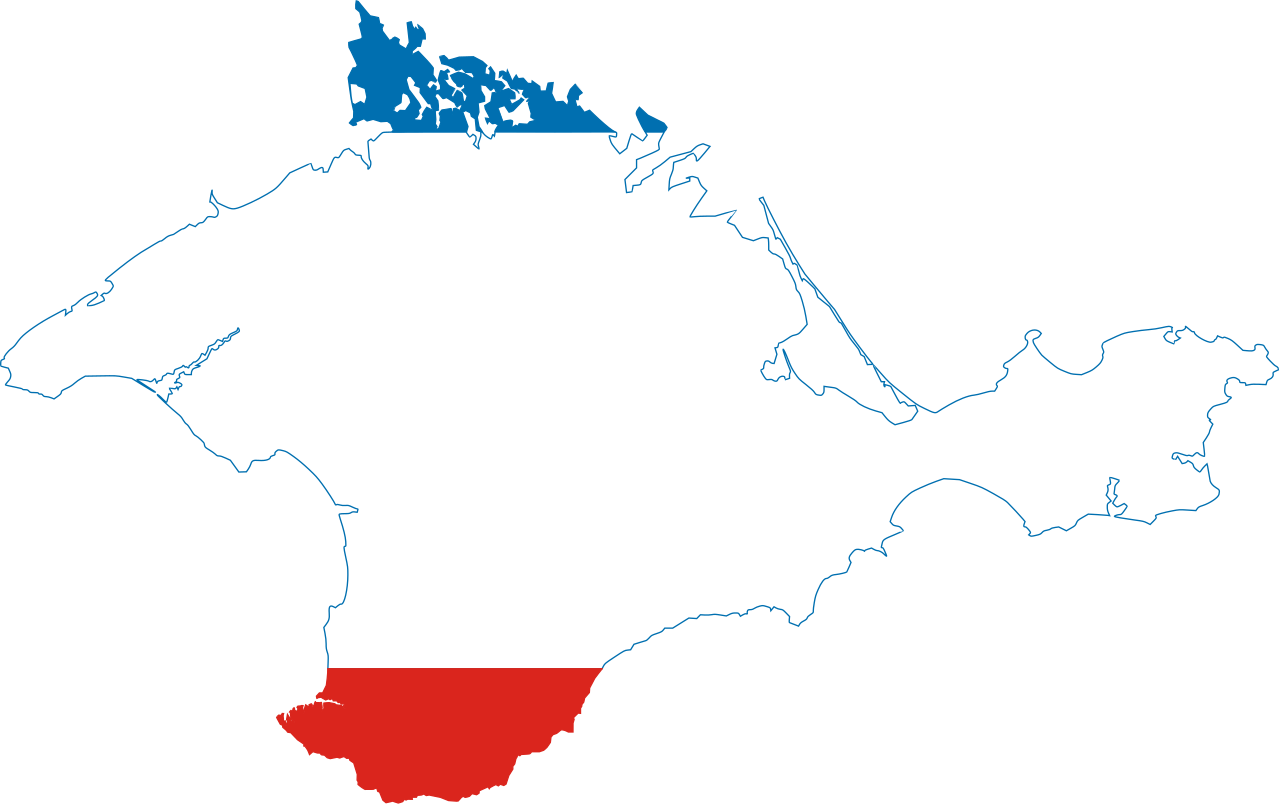
Flag-map of Crimea as a flag of Pan-Slavic colors.
Summary[edit]
.svg&action=edit§ion=1)
| Description |
English: Flag-map of the Republic of Crimea (independent state) |
| Date | |
| Source | Own work |
| Author | Дмитрий-5-Аверин |
Licensing[edit]
.svg&action=edit§ion=2)
I, the copyright holder of this work, hereby publish it under the following license:
This file is licensed under the Creative Commons Attribution-Share Alike 4.0 International license.
- You are free:
- to share – to copy, distribute and transmit the work
- to remix – to adapt the work
- Under the following conditions:
- attribution – You must give appropriate credit, provide a link to the license, and indicate if changes were made. You may do so in any reasonable manner, but not in any way that suggests the licensor endorses you or your use.
- share alike – If you remix, transform, or build upon the material, you must distribute your contributions under the same or compatible license as the original.
File history
Click on a date/time to view the file as it appeared at that time.
| Date/Time | Thumbnail | Dimensions | User | Comment | |
|---|---|---|---|---|---|
| current | 23:05, 26 October 2022 | | 948 × 599 (69 KB) | Swipe4004 (talk | contribs) | Reverted to version as of 21:24, 27 August 2014 (UTC) [reason: more accurate borders] |
| 16:34, 28 August 2014 |  | 948 × 599 (69 KB) | Дмитрий-5-Аверин (talk | contribs) | border | |
| 16:29, 28 August 2014 |  | 948 × 599 (69 KB) | Дмитрий-5-Аверин (talk | contribs) | border | |
| 21:24, 27 August 2014 |  | 948 × 599 (69 KB) | Дмитрий-5-Аверин (talk | contribs) | User created page with UploadWizard |
You cannot overwrite this file.
File usage on Commons
The following 3 pages use this file:
File usage on other wikis
The following other wikis use this file:
- Usage on cv.wikipedia.org
- Usage on es.wikipedia.org
- Usage on kbd.wikipedia.org
- Usage on mk.wikipedia.org
- Usage on pt.wikipedia.org
- Usage on ru.wikipedia.org
- Usage on ru.wikimedia.org
- Usage on sr.wikipedia.org
- Usage on uk.wikipedia.org
- Первомайський район (АР Крим)
- Роздольненський район
- Сакське озеро
- Салгирська зрошувальна система
- Сасик (Крим)
- Аграрне
- Бакачик-Кият
- Іслям-Терек
- Гвардійське (Сімферопольський район)
- Виноградне (Ялтинський район)
- Штормове (Євпаторійський район)
- Тузла (острів)
- Новоселівське (селище)
- Ялтинська міська рада
- Ак-Бурун
- Алуштинська міська рада
View more global usage of this file.
.svg)
.svg&oldid=769880177)