File:Flag-map of North Carolina.svg
Jump to navigation
Jump to search

Size of this PNG preview of this SVG file: 800 × 304 pixels. Other resolutions: 320 × 121 pixels | 640 × 243 pixels | 1,024 × 389 pixels | 1,280 × 486 pixels | 2,560 × 971 pixels | 817 × 310 pixels.
Original file (SVG file, nominally 817 × 310 pixels, file size: 253 KB)
Captions
Captions
Add a one-line explanation of what this file represents
This W3C-unspecified vector image was created with Inkscape .
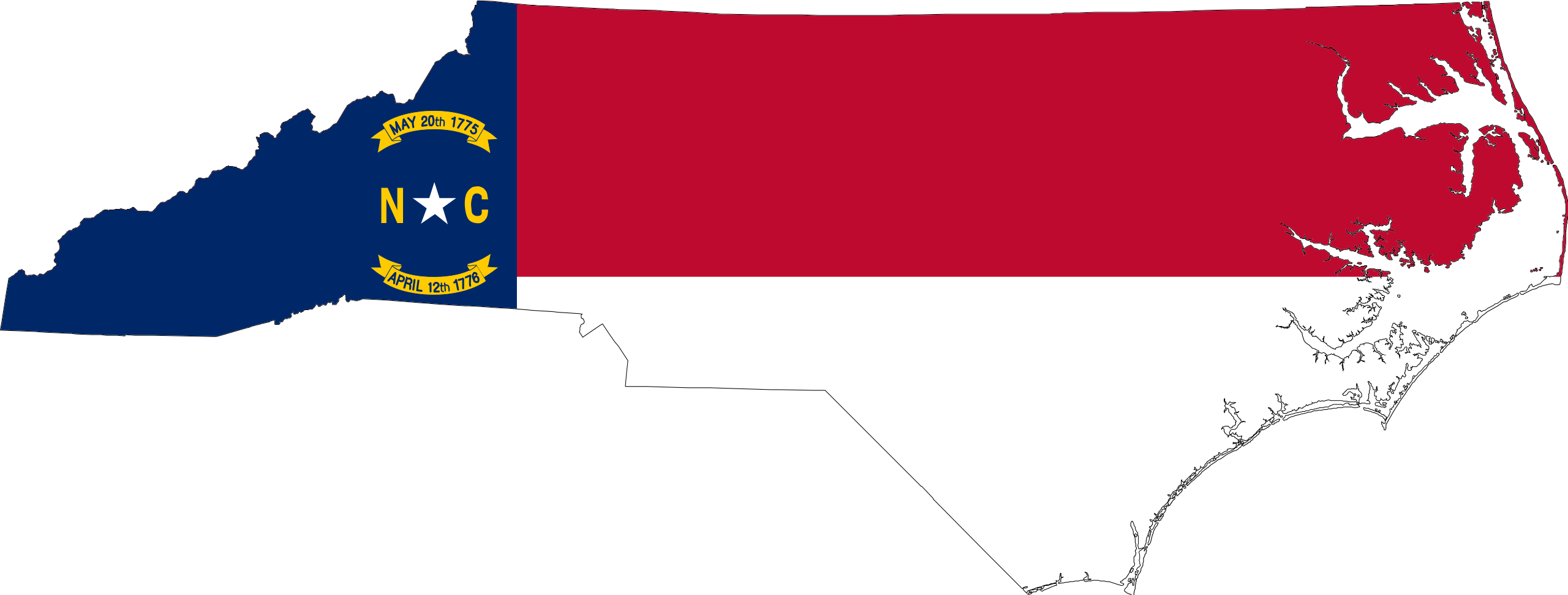
| Description | Flag-map of North Carolina |
| Source | self-made using Image:Flag of North Carolina.svg and Image:Map of North Carolina highlighting Franklin County.svg |
| Author | Darwinek |
I, the copyright holder of this work, hereby publish it under the following licenses:
This file is licensed under the Creative Commons Attribution-Share Alike 3.0 Unported license.
- You are free:
- to share – to copy, distribute and transmit the work
- to remix – to adapt the work
- Under the following conditions:
- attribution – You must give appropriate credit, provide a link to the license, and indicate if changes were made. You may do so in any reasonable manner, but not in any way that suggests the licensor endorses you or your use.
- share alike – If you remix, transform, or build upon the material, you must distribute your contributions under the same or compatible license as the original.

|
Permission is granted to copy, distribute and/or modify this document under the terms of the GNU Free Documentation License, Version 1.2 or any later version published by the Free Software Foundation; with no Invariant Sections, no Front-Cover Texts, and no Back-Cover Texts. A copy of the license is included in the section entitled GNU Free Documentation License. |
You may select the license of your choice.
File history
Click on a date/time to view the file as it appeared at that time.
| Date/Time | Thumbnail | Dimensions | User | Comment | |
|---|---|---|---|---|---|
| current | 09:58, 2 December 2022 | 817 × 310 (253 KB) | John emil hernandez (talk | contribs) | Reverted to version as of 16:59, 18 August 2022 (UTC) | |
| 09:57, 2 December 2022 | 2,624 × 996 (128 KB) | John emil hernandez (talk | contribs) | Reverted to version as of 15:07, 18 August 2022 (UTC) | ||
| 16:59, 18 August 2022 | 817 × 310 (253 KB) | Yann (talk | contribs) | Reverted to version as of 05:18, 18 August 2022 (UTC) | ||
| 15:07, 18 August 2022 | 2,624 × 996 (128 KB) | John emil hernandez (talk | contribs) | Reverted to last version | ||
| 05:18, 18 August 2022 | 817 × 310 (253 KB) | H78c67c (talk | contribs) | Reverted to version as of 16:46, 15 August 2022 (UTC) | ||
| 03:28, 17 August 2022 | 2,624 × 996 (128 KB) | John emil hernandez (talk | contribs) | Reverted to last version | ||
| 16:46, 15 August 2022 | 817 × 310 (253 KB) | Darwinek (talk | contribs) | reverted to previous version per Flagvisioner | ||
| 10:37, 12 August 2022 | 2,624 × 996 (128 KB) | John emil hernandez (talk | contribs) | remove outline | ||
| 22:45, 11 August 2022 | 817 × 310 (253 KB) | Flagvisioner (talk | contribs) | outlining is required to see lower half of the map, especially in, for example, stub icons. Reverted to version as of 19:26, 28 June 2022 (UTC) | ||
| 05:02, 6 August 2022 | 3,795 × 1,441 (130 KB) | John emil hernandez (talk | contribs) | same |
You cannot overwrite this file.
File usage on Commons
The following 3 pages use this file:
File usage on other wikis
The following other wikis use this file:
- Usage on cy.wikipedia.org
- Usage on en.wikipedia.org
- Talk:USS Monitor
- Talk:Confederate States of America
- Talk:Appalachian Trail
- Talk:Red Hat
- Talk:North Carolina
- Talk:Wright brothers
- Talk:Chesterfield County, South Carolina
- Talk:York County, South Carolina
- Talk:Paul Wellstone
- Talk:Thelonious Monk
- Coharie
- Talk:Dawson's Creek
- Talk:John Coltrane
- Talk:Billy Graham
- Talk:Cherokee
- Talk:Icard, North Carolina
- Talk:Kenneth Noland
- Talk:Robert L. Johnson
- Talk:I Know What You Did Last Summer
- Talk:William R. King
- Talk:Charlotte Douglas International Airport
- Talk:Air National Guard
- Talk:Michael Jordan
- Talk:Alamance County, North Carolina
- Talk:Alexander County, North Carolina
- Talk:Alleghany County, North Carolina
- Talk:Anson County, North Carolina
- Talk:Ashe County, North Carolina
- Talk:Avery County, North Carolina
- Talk:Beaufort County, North Carolina
- Talk:Bertie County, North Carolina
- Talk:Bladen County, North Carolina
- Talk:Brunswick County, North Carolina
- Talk:Buncombe County, North Carolina
- Talk:Burke County, North Carolina
- Talk:Cabarrus County, North Carolina
- Talk:Caldwell County, North Carolina
- Talk:Camden County, North Carolina
- Talk:Carteret County, North Carolina
- Talk:Caswell County, North Carolina
- Talk:Catawba County, North Carolina
View more global usage of this file.