File:Figurative cartouche on an Ottoman map by Hase and Homann.jpeg
Jump to navigation
Jump to search
Size of this preview: 800 × 527 pixels. Other resolutions: 320 × 211 pixels | 640 × 421 pixels | 1,024 × 674 pixels | 1,280 × 842 pixels | 2,548 × 1,677 pixels.
Original file (2,548 × 1,677 pixels, file size: 1.19 MB, MIME type: image/jpeg)
Captions
Captions
Add a one-line explanation of what this file represents
Summary[edit]
| Description |
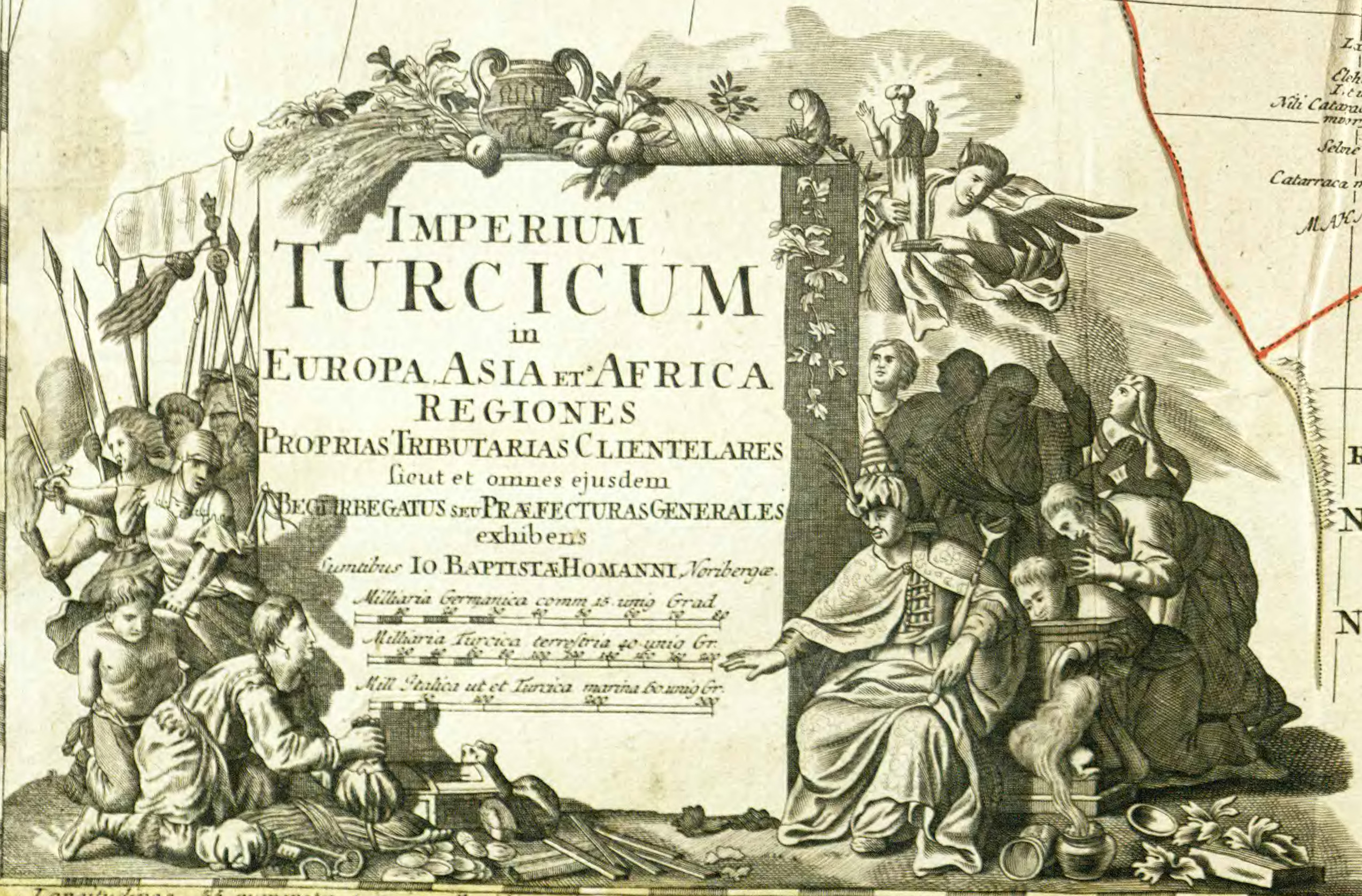
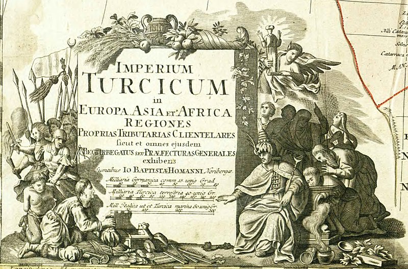
Latina: Imperium Turcicum in Europa, Asia Et Africa : Regiones Proprias, Tributarias Clientelaresque sicut et omnes ejusdem Beglirbegatus Seu Praefecturas Generales exhibens |
| Date | |
| Source | https://rcin.org.pl/dlibra/show-content/publication/edition/12229?id=12229 |
| Author |
Creator: Hase, Johann Matthias (1684-1742) Contributor: Homann, Johann Baptist (1664-1724). Wyd. Publisher: Sumtibus Io. Baptistae Homanni |
| Other versions |

Licensing[edit]
|
This work is in the public domain in its country of origin and other countries and areas where the copyright term is the author's life plus 70 years or fewer. This work is in the public domain in the United States because it was published (or registered with the U.S. Copyright Office) before January 1, 1929. | |
| This file has been identified as being free of known restrictions under copyright law, including all related and neighboring rights. | |
File history
Click on a date/time to view the file as it appeared at that time.
| Date/Time | Thumbnail | Dimensions | User | Comment | |
|---|---|---|---|---|---|
| current | 11:48, 28 November 2022 | | 2,548 × 1,677 (1.19 MB) | Enyavar (talk | contribs) | File:1730s map - Imperium Turcicum in Europa, Asia Et Africa , Regiones Proprias, Tributarias Clientelaresque sicut et omnes ejusdem Beglirbegatus Seu Praefecturas Generales exhibens.djvu cropped 61 % horizontally, 70 % vertically, rotated -0.3° using CropTool with precise mode. |
You cannot overwrite this file.
File usage on Commons
The following page uses this file: