File:Ewart Building Peak.jpg
Jump to navigation
Jump to search
Size of this preview: 800 × 600 pixels. Other resolutions: 320 × 240 pixels | 640 × 480 pixels | 1,024 × 768 pixels | 1,280 × 960 pixels | 2,560 × 1,920 pixels | 2,816 × 2,112 pixels.
Original file (2,816 × 2,112 pixels, file size: 2.61 MB, MIME type: image/jpeg)
Captions
Captions
Add a one-line explanation of what this file represents
| Camera location | | View this and other nearby images on: OpenStreetMap |
|---|
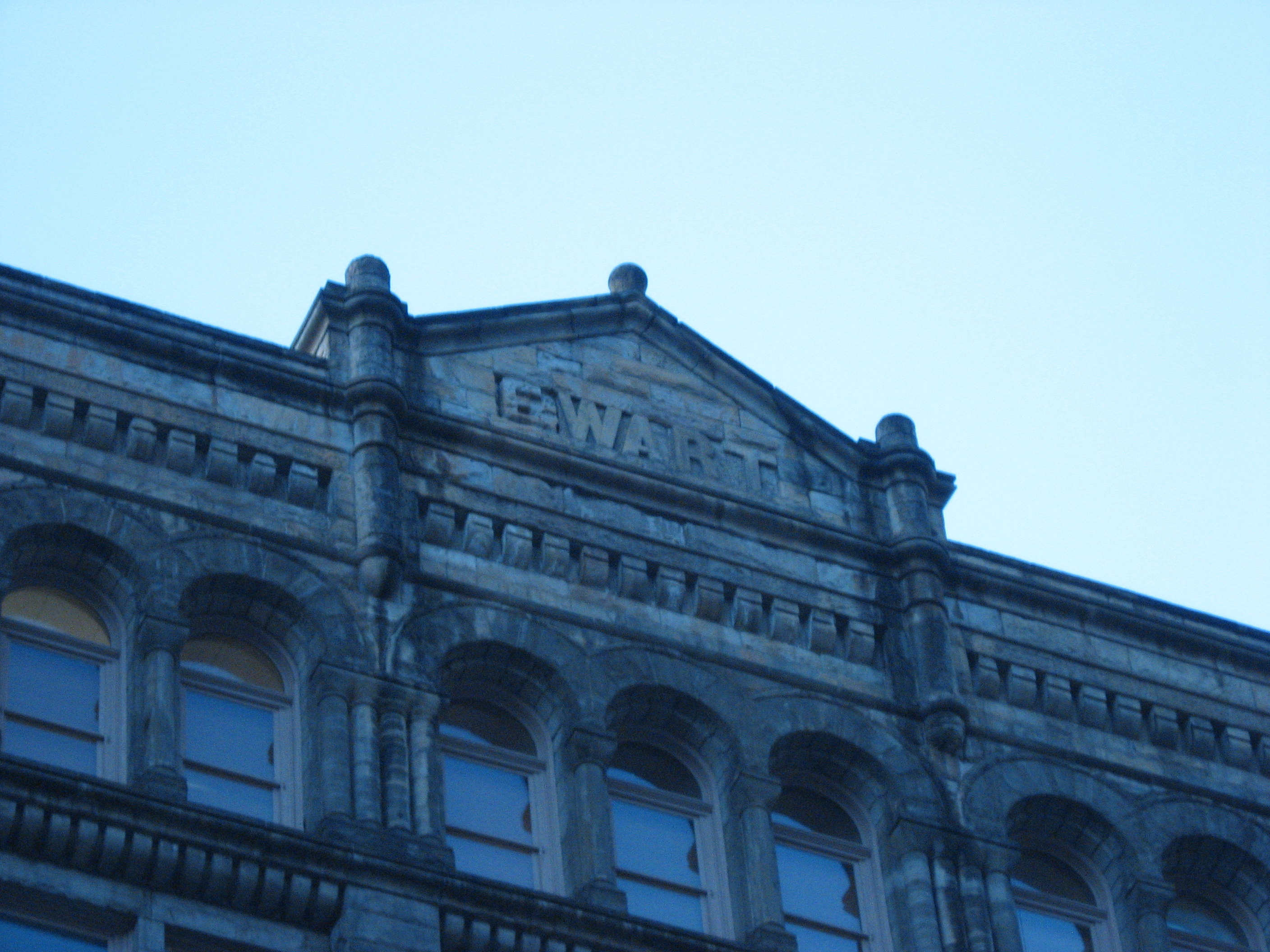
| Description | View of the top of the Ewart Building, a National Register of Historic Places property along Liberty Avenue in downtown Pittsburgh, Pennsylvania, United States. Address 921-925 Liberty Ave. | ||
| Date | Taken on 10 October 2008 | ||
| Source | Own work | ||
| Author | User:Nyttend | ||
| Permission (Reusing this file) |
|
||
| Other versions |
 File:Ewart Building.jpg File:Ewart Building.jpg |
File history
Click on a date/time to view the file as it appeared at that time.
| Date/Time | Thumbnail | Dimensions | User | Comment | |
|---|---|---|---|---|---|
| current | 00:01, 15 December 2008 | | 2,816 × 2,112 (2.61 MB) | Nyttend (talk | contribs) | {{Location|40|26|36|N|79|59|52|W}} {{Information |Description=View of the top of the {{w|Ewart Building}}, a {{w|National Register of Historic Places}} property along {{w|Liberty Avenue (Pittsburgh)|Liberty Avenue}} in {{w|Downtown Pittsburgh|downtown}} { |
You cannot overwrite this file.
File usage on Commons
The following page uses this file: