File:Europe political chart blank.svg
Jump to navigation
Jump to search

Size of this PNG preview of this SVG file: 800 × 600 pixels. Other resolutions: 320 × 240 pixels | 640 × 480 pixels | 1,024 × 768 pixels | 1,280 × 960 pixels | 2,560 × 1,920 pixels | 2,000 × 1,500 pixels.
Original file (SVG file, nominally 2,000 × 1,500 pixels, file size: 737 KB)
Captions
Captions
Add a one-line explanation of what this file represents
Summary[edit]
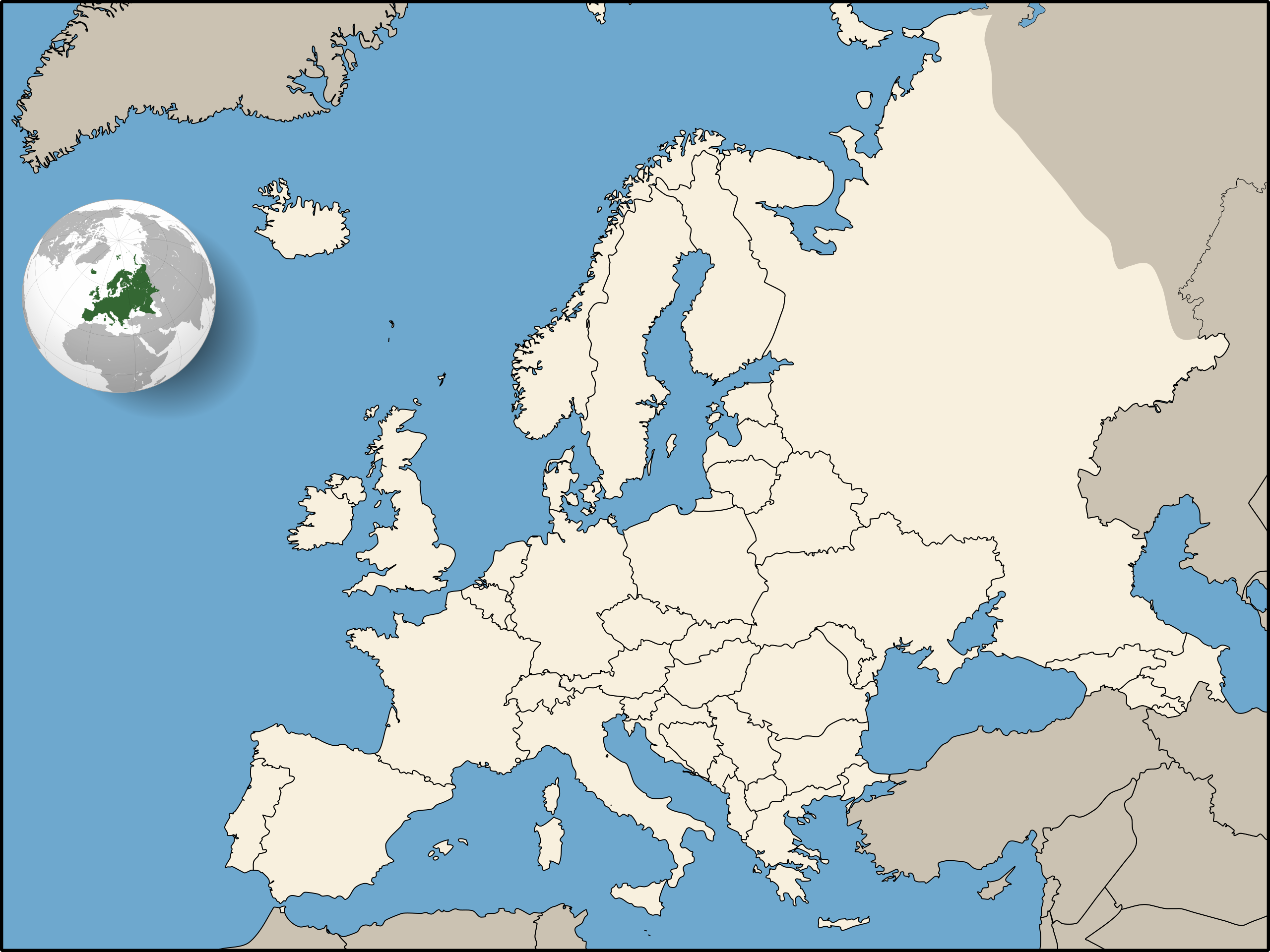
| Description | Map of Europe, located along political frontiers of European countries. |
| Date | |
| Source |
Europe Location HU.svg (some mess is cleaned up) |
| Author | Orion 8 |
| Other versions | Derivative works of this file: Europe political chart complete blank.svg |
.svg)
Licensing[edit]
I, the copyright holder of this work, hereby publish it under the following licenses:
This file is licensed under the Creative Commons Attribution-Share Alike 3.0 Unported license.
- You are free:
- to share – to copy, distribute and transmit the work
- to remix – to adapt the work
- Under the following conditions:
- attribution – You must give appropriate credit, provide a link to the license, and indicate if changes were made. You may do so in any reasonable manner, but not in any way that suggests the licensor endorses you or your use.
- share alike – If you remix, transform, or build upon the material, you must distribute your contributions under the same or compatible license as the original.

|
Permission is granted to copy, distribute and/or modify this document under the terms of the GNU Free Documentation License, Version 1.2 or any later version published by the Free Software Foundation; with no Invariant Sections, no Front-Cover Texts, and no Back-Cover Texts. A copy of the license is included in the section entitled GNU Free Documentation License. |
You may select the license of your choice.
File history
Click on a date/time to view the file as it appeared at that time.
| Date/Time | Thumbnail | Dimensions | User | Comment | |
|---|---|---|---|---|---|
| current | 14:39, 27 July 2009 | | 2,000 × 1,500 (737 KB) | Orion 8 (talk | contribs) | resized to 2000 px |
| 02:05, 25 July 2009 |  | 400 × 300 (723 KB) | Orion 8 (talk | contribs) | {{Information |Description= Blank map of Europe, located along political frontiers of European countries. |Source=[http://commons.wikimedia.org/wiki/File:Europe_Location_HU.svg Europe_Location_HU.svg (some mess is cleaned up)]<br> [http://commons.wikimedi |
You cannot overwrite this file.
File usage on Commons
The following 3 pages use this file:
File usage on other wikis
The following other wikis use this file:
- Usage on fr.wikipedia.org
- Portail:Italie
- Portail:France
- Portail:Belgique
- Portail:Suisse
- Portail:Vatican
- Portail:Finlande
- Portail:Espagne
- Portail:Norvège
- Portail:Grèce
- Portail:Portugal
- Portail:Irlande
- Portail:Russie
- Portail:Turquie
- Portail:Royaume-Uni
- Portail:Pologne
- Portail:Italie/Portails connexes
- Portail:Suède
- Portail:Croatie
- Portail:Tchéquie
- Portail:Roumanie
- Portail:Hongrie
- Portail:Islande
- Portail:Danemark
- Portail:Slovaquie
- Portail:Hongrie/Voir aussi
- Portail:Arménie
- Portail:Serbie et peuple serbe
- Portail:Pays-Bas
- Portail:Autriche
- Portail:Bulgarie
- Portail:Monaco
- Portail:Ukraine
- Portail:Géorgie (pays)
- Portail:Slovénie
- Portail:Biélorussie
- Portail:Azerbaïdjan
- Portail:Luxembourg
- Portail:Macédoine du Nord
- Portail:Serbie et peuple serbe/Le projet
- Portail:Albanie
- Portail:Albanie/Voir aussi
- Portail:Bosnie-Herzégovine
- Portail:Bosnie-Herzégovine/Voir aussi
- Portail:Islande/Fin
- Portail:Estonie
- Portail:Lituanie
- Portail:Lettonie
- Portail:Monténégro
- Portail:Monténégro/Voir aussi
- Portail:Kosovo
View more global usage of this file.