File:Europa-mapa polityczna.png
Jump to navigation
Jump to search

Size of this preview: 680 × 600 pixels. Other resolutions: 272 × 240 pixels | 544 × 480 pixels | 871 × 768 pixels | 1,161 × 1,024 pixels | 2,323 × 2,048 pixels | 4,476 × 3,947 pixels.
Original file (4,476 × 3,947 pixels, file size: 1.45 MB, MIME type: image/png)
Captions
Captions
Add a one-line explanation of what this file represents
| Description |
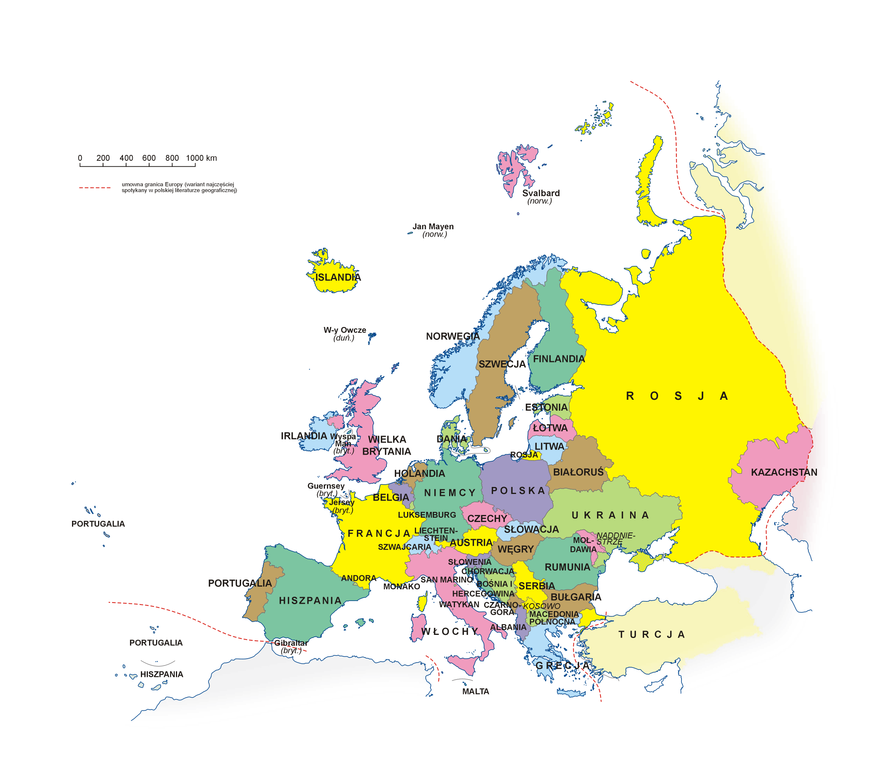
Polski: Mapa polityczna Europy po polsku
English: Political map of Europe in Polish |
||||||||
| Source | Own work | ||||||||
| Author | Aotearoa | ||||||||
| Permission (Reusing this file) |
I, the copyright holder of this work, hereby publish it under the following license:
|
||||||||
| Other versions |
|


| Annotations | This image is annotated: View the annotations at Commons |
File history
Click on a date/time to view the file as it appeared at that time.
| Date/Time | Thumbnail | Dimensions | User | Comment | |
|---|---|---|---|---|---|
| current | 06:16, 2 October 2022 | | 4,476 × 3,947 (1.45 MB) | Aotearoa (talk | contribs) | Reverted to version as of 12:33, 12 October 2021 (UTC) - no more DPR & LPR |
| 12:11, 27 August 2022 |  | 4,476 × 3,947 (1.46 MB) | Aotearoa (talk | contribs) | Reverted to version as of 08:25, 23 February 2022 (UTC) | |
| 10:05, 26 May 2022 |  | 4,476 × 3,947 (1.45 MB) | Kedziorek1998d (talk | contribs) | Reverted to version as of 12:33, 12 October 2021 (UTC) | |
| 08:25, 23 February 2022 |  | 4,476 × 3,947 (1.46 MB) | Aotearoa (talk | contribs) | ||
| 12:33, 12 October 2021 |  | 4,476 × 3,947 (1.45 MB) | Ency (talk | contribs) | Reverted to version as of 17:54, 24 March 2019 (UTC)-Krym i Naddniestrze są de facto sporne, ponadto nazwa "Macedonia Płn." jest aktualna | |
| 10:57, 14 January 2021 |  | 2,238 × 1,974 (748 KB) | Ukrwpol (talk | contribs) | Reverted to version as of 16:05, 17 March 2014 (UTC) | |
| 17:54, 24 March 2019 |  | 4,476 × 3,947 (1.45 MB) | Aotearoa (talk | contribs) | Zmiana nazwy Macedonia na Macedonia Północna | |
| 17:35, 22 March 2014 |  | 2,976 × 2,560 (1.37 MB) | Aotearoa (talk | contribs) | Zmiana statusu Krymu na terytorium sporne | |
| 16:05, 17 March 2014 |  | 2,238 × 1,974 (748 KB) | Aotearoa (talk | contribs) | Dodany Krym, zmiana opisu dla Kosowa | |
| 22:56, 15 February 2013 |  | 2,016 × 1,679 (679 KB) | Julo (talk | contribs) | przesunięty napis "TURCJA" |
You cannot overwrite this file.
File usage on Commons
The following 7 pages use this file:
- Europe
- User:Magog the Ogre/Multilingual legend/2021 January 11-20
- User:Magog the Ogre/Multilingual legend/2021 October 11-20
- User:Magog the Ogre/Multilingual legend/2022 August 21-31
- User:Magog the Ogre/Multilingual legend/2022 February 19-28
- User:Magog the Ogre/Multilingual legend/2022 May 21-31
- User:Magog the Ogre/Multilingual legend/2022 October 1-10
File usage on other wikis
The following other wikis use this file:
- Usage on pl.wikipedia.org
- Dyskusja:Kazachstan
- Władimir Putin
- Donald Tusk
- Jan Adam II Liechtenstein
- Alaksandr Łukaszenka
- Henryk (wielki książę Luksemburga)
- Wilhelm-Aleksander
- Karol III
- Harald V
- Karol XVI Gustaw
- Franciszek (papież)
- Albert II Grimaldi
- Recep Tayyip Erdoğan
- Joan Enric Vives Sicília
- Filip VI Hiszpański
- Fryderyk X
- Viktor Orbán
- Frank-Walter Steinmeier
- Jonas Gahr Støre
- Szwajcarska Rada Związkowa
- Lista państw Europy
- Robert Fico
- Filip I Belgijski
- Edi Rama
- Mark Rutte
- Borjana Krišto
- Wikipedysta:Mateja/Portal:Wybory
- Hashim Thaçi
- Zoran Milanović
- Szablon:Szefowie państw i rządów Europy
- Andrzej Duda
- Luc Frieden
- Giorgia Meloni
- Andriej Kobiakow
- Alexander Stubb
- Wikipedysta:Aotearoa/mapy
- Bjarni Benediktsson (ur. 1970)
- Ingrida Šimonytė
- Olaf Scholz
- Klaus Iohannis
- Alexander De Croo
- Gitanas Nausėda
- Wikipedysta:Trxmaster/brudnopis
- Sergio Mattarella
- Bakir Izetbegović
- Ulf Kristersson
- Wikiprojekt:Tłumaczenie artykułów/Benedykt XVI
- Wikiprojekt:Tłumaczenie artykułów/Václav Klaus
- Pietro Parolin
- Luís Montenegro
View more global usage of this file.