File:EasternPanhandleWV.PNG
Jump to navigation
Jump to search
No higher resolution available.
EasternPanhandleWV.PNG (692 × 598 pixels, file size: 18 KB, MIME type: image/png)
Captions
Captions
Add a one-line explanation of what this file represents

|
This map image could be re-created using vector graphics as an SVG file. This has several advantages; see Commons:Media for cleanup for more information. If an SVG form of this image is available, please upload it and afterwards replace this template with
{{vector version available|new image name}}.
It is recommended to name the SVG file “EasternPanhandleWV.svg”—then the template Vector version available (or Vva) does not need the new image name parameter. |
Summary[edit]
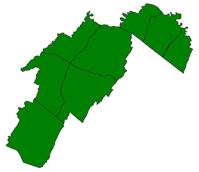
The counties of the Eastern Panhandle of West Virginia colored in green.
Licensing[edit]
| I, the copyright holder of this work, release this work into the public domain. This applies worldwide. In some countries this may not be legally possible; if so: I grant anyone the right to use this work for any purpose, without any conditions, unless such conditions are required by law. |
File history
Click on a date/time to view the file as it appeared at that time.
| Date/Time | Thumbnail | Dimensions | User | Comment | |
|---|---|---|---|---|---|
| current | 04:09, 23 January 2006 | | 692 × 598 (18 KB) | West Virginian (talk | contribs) | The counties of the Eastern Panhandle of West Virginia colored in green. |
You cannot overwrite this file.
File usage on Commons
There are no pages that use this file.
File usage on other wikis
The following other wikis use this file:
- Usage on en.wikipedia.org
- Harpers Ferry, West Virginia
- Pendleton County, West Virginia
- Morgan County, West Virginia
- Mineral County, West Virginia
- Jefferson County, West Virginia
- Hardy County, West Virginia
- Hampshire County, West Virginia
- Grant County, West Virginia
- Berkeley County, West Virginia
- Hedgesville, West Virginia
- Inwood, West Virginia
- Martinsburg, West Virginia
- Bayard, West Virginia
- Petersburg, West Virginia
- Capon Bridge, West Virginia
- Romney, West Virginia
- Moorefield, West Virginia
- Wardensville, West Virginia
- Bolivar, West Virginia
- Charles Town, West Virginia
- Ranson, West Virginia
- Shepherdstown, West Virginia
- Carpendale, West Virginia
- Keyser, West Virginia
- Piedmont, West Virginia
- Ridgeley, West Virginia
- Berkeley Springs, West Virginia
- Paw Paw, West Virginia
- Franklin, West Virginia
- Fort Ashby
- Eastern panhandle of West Virginia
- Category:Berkeley County, West Virginia
- Category:Grant County, West Virginia
- Category:Hampshire County, West Virginia
- Category:Hardy County, West Virginia
- Category:Mineral County, West Virginia
- Weaver's Antique Service Station
- Claysville Church
- Greater Cumberland Regional Airport
- Jennings Randolph Lake
- User talk:71Demon/Archive 1
- Mount Bethel Church (Three Churches, West Virginia)
- Harpers Ferry National Historical Park
- Augusta, West Virginia
- Green Spring, West Virginia
- Okonoko, West Virginia
- Slanesville, West Virginia
- Hanging Rocks
- Seneca Rocks
- South Branch Valley Railroad
View more global usage of this file.