File:Colorado River Headwaters Byway.JPG
Jump to navigation
Jump to search
Size of this preview: 800 × 533 pixels. Other resolutions: 320 × 213 pixels | 640 × 427 pixels | 1,024 × 683 pixels | 1,280 × 853 pixels | 2,560 × 1,707 pixels | 6,000 × 4,000 pixels.
Original file (6,000 × 4,000 pixels, file size: 14.75 MB, MIME type: image/jpeg)
Captions
Captions
Add a one-line explanation of what this file represents
Summary[edit]
| Description |
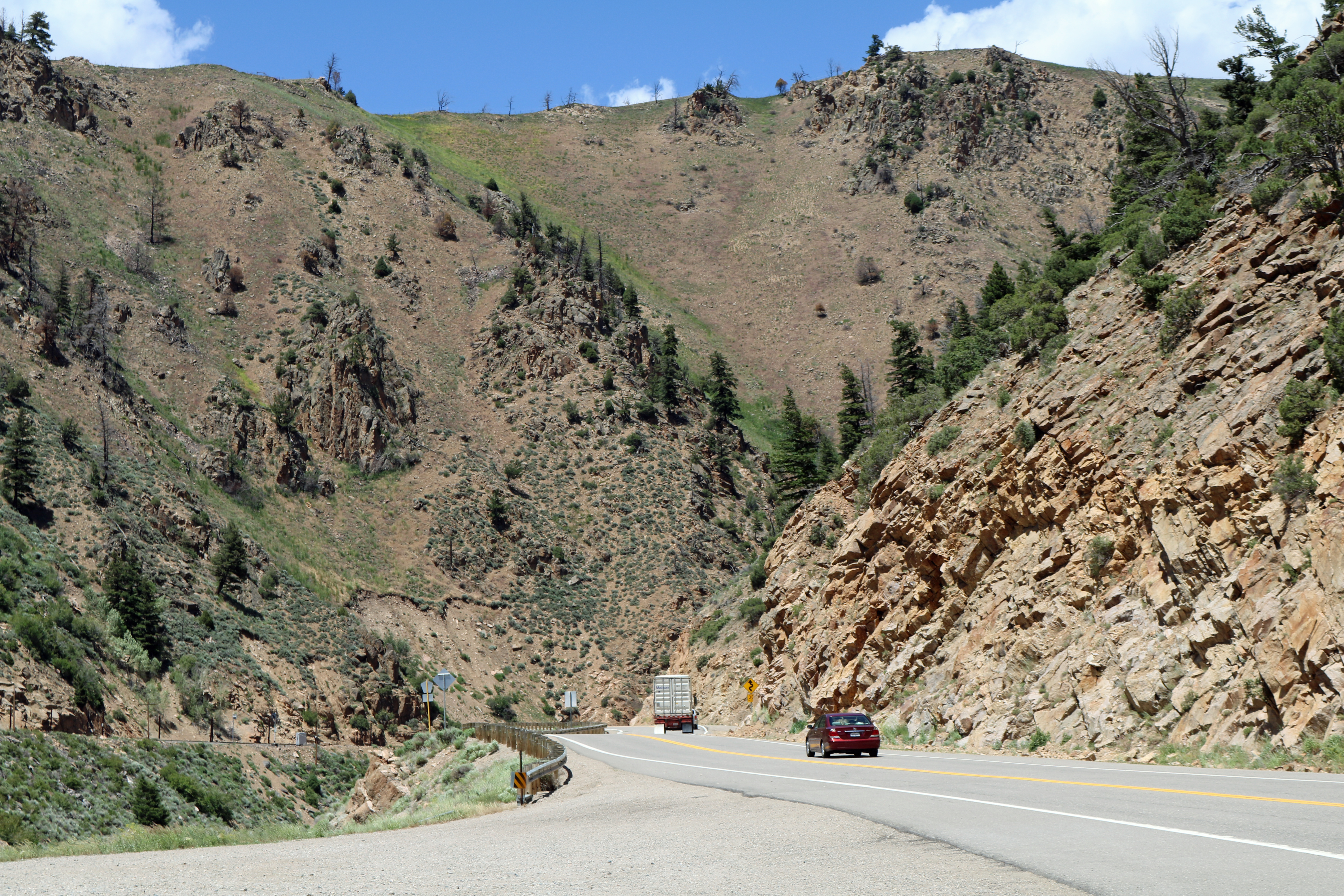
English: A part of the Colorado River Headwaters Byway in Grand County, Colorado. This picture shows U.S. Route 40 in Byers Canyon between Parshall, Colorado and Hot Sulphur Springs, Colorado. The Union Pacific railroad line is visible on the left. The Colorado River is at the bottom of the canyon and is not visible in the picture. |
| Date | |
| Source | Own work |
| Author | Jeffrey Beall |
| Camera location | | View this and other nearby images on: OpenStreetMap |
|---|
Licensing[edit]
I, the copyright holder of this work, hereby publish it under the following license:
This file is licensed under the Creative Commons Attribution 4.0 International license.
- You are free:
- to share – to copy, distribute and transmit the work
- to remix – to adapt the work
- Under the following conditions:
- attribution – You must give appropriate credit, provide a link to the license, and indicate if changes were made. You may do so in any reasonable manner, but not in any way that suggests the licensor endorses you or your use.
File history
Click on a date/time to view the file as it appeared at that time.
| Date/Time | Thumbnail | Dimensions | User | Comment | |
|---|---|---|---|---|---|
| current | 23:35, 7 July 2016 | | 6,000 × 4,000 (14.75 MB) | Jeffrey Beall (talk | contribs) | {{Information |Description ={{en|1=A part of the Colorado River Headwaters Byway in Grand County, Colorado. This picture shows U.S. Route 40 in Byers Canyon between Parshall, Colorado and Hot Sulphur Springs, Colorado. The Union Pacific railroad lin... |
You cannot overwrite this file.
File usage on Commons
The following 3 pages use this file:
File usage on other wikis
The following other wikis use this file:
- Usage on en.wikipedia.org
- Usage on fr.wikipedia.org
- Usage on www.wikidata.org