File:Chung-kuo-chuen-tu 300dpi.png
Jump to navigation
Jump to search

Size of this preview: 733 × 600 pixels. Other resolutions: 293 × 240 pixels | 587 × 480 pixels | 939 × 768 pixels | 1,252 × 1,024 pixels | 2,503 × 2,048 pixels | 6,394 × 5,232 pixels.
Original file (6,394 × 5,232 pixels, file size: 55.44 MB, MIME type: image/png)
Captions
Captions
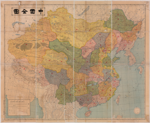
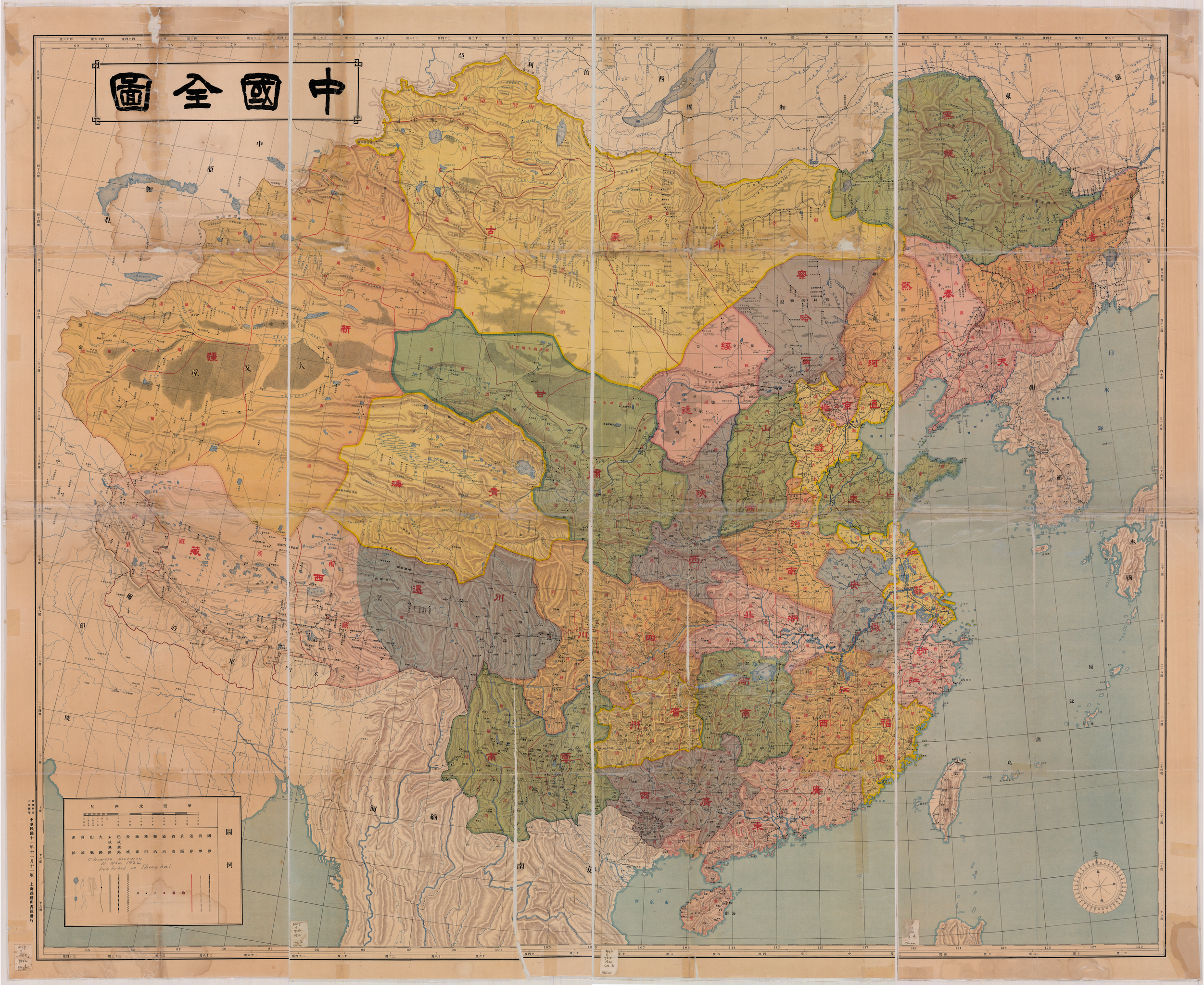
"Map of China" published by the Shanghai Commercial Press in 1922. It shows the Beiyang government's division of China's first-level and second-level administrative divisions.
Summary[edit]
| Description |
English: Map of China, published by the Commercial Press in Shanghai in 1922. Showed the first and second-level administrative division of China under Peiyang government. |
| Date | |
| Source | Scanned Map from the collection of Maps Department, Hamilton Library at the University of Hawaii |
| Author | Commercial Press Shanghai |
Licensing[edit]
This media file is in the public domain in the United States. This applies to U.S. works where the copyright has expired, often because its first publication occurred prior to January 1, 1929, and if not then due to lack of notice or renewal. See this page for further explanation.
|
 | |
 |
This image might not be in the public domain outside of the United States; this especially applies in the countries and areas that do not apply the rule of the shorter term for US works, such as Canada, Mainland China (not Hong Kong or Macao), Germany, Mexico, and Switzerland. The creator and year of publication are essential information and must be provided. See Wikipedia:Public domain and Wikipedia:Copyrights for more details.
|
File history
Click on a date/time to view the file as it appeared at that time.
| Date/Time | Thumbnail | Dimensions | User | Comment | |
|---|---|---|---|---|---|
| current | 02:46, 12 September 2015 | | 6,394 × 5,232 (55.44 MB) | 司徒君 (talk | contribs) | User created page with UploadWizard |
You cannot overwrite this file.
File usage on Commons
The following page uses this file:
File usage on other wikis
The following other wikis use this file:
- Usage on zh.wikipedia.org