File:Chilehaus Courtyard 360° x 180°.jpg
Jump to navigation
Jump to search
Size of this preview: 800 × 400 pixels. Other resolutions: 320 × 160 pixels | 640 × 320 pixels | 1,024 × 512 pixels | 1,920 × 960 pixels.
Original file (1,920 × 960 pixels, file size: 540 KB, MIME type: image/jpeg)
Captions
Captions
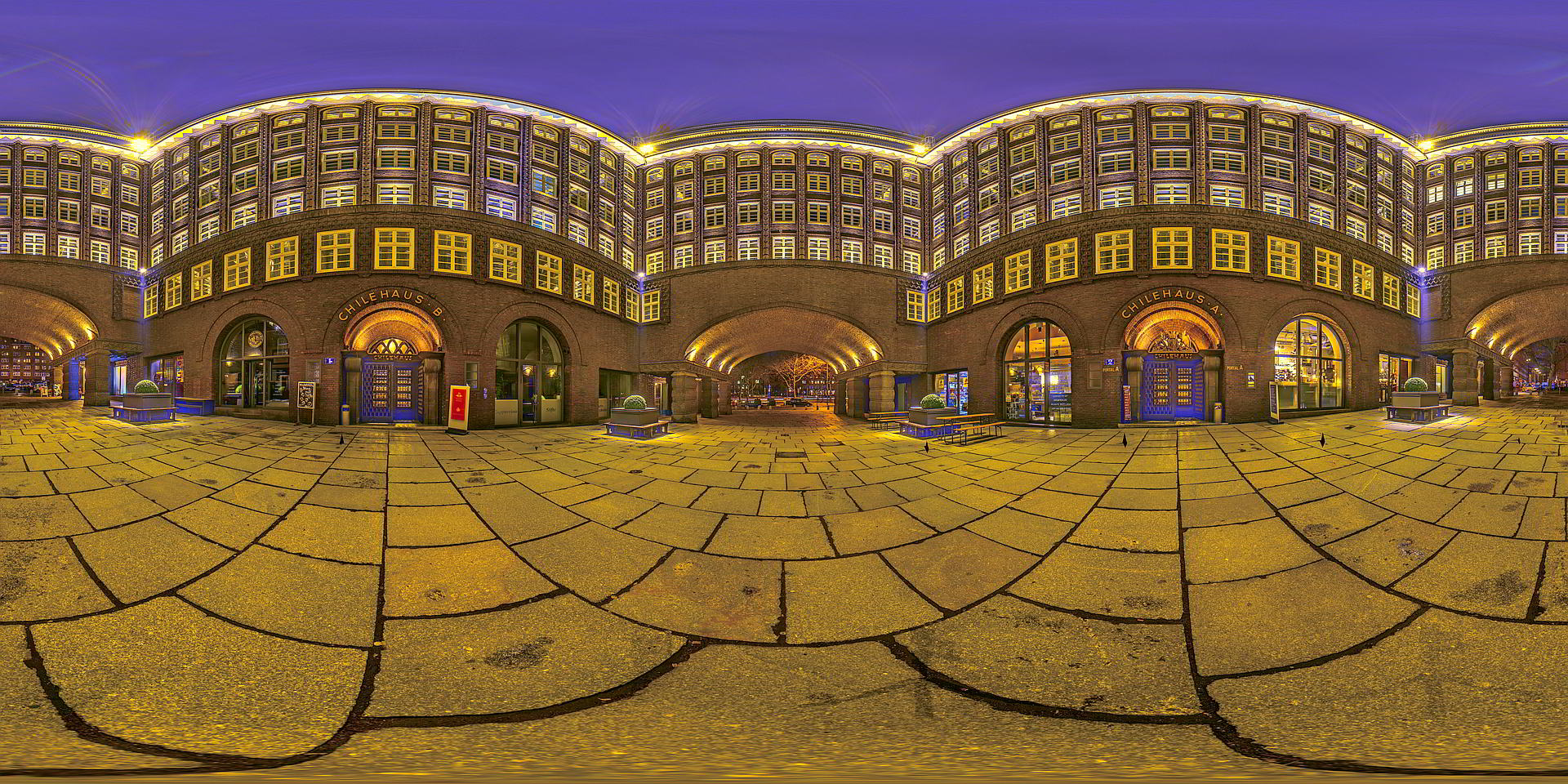
Chile Haus in Hamburg - Inner Court yard - thumbnail of a 360° x 180° HDR sphere
Summary[edit]
| Description |
English: Panoramic view taken in the courtyard of Chilehaus. Multi images & multi exposure per image stitched as 360° x 180° tone mapped HDR panorama |
| Date | |
| Source | Own work |
| Author | Virtual-Pano |
| Permission (Reusing this file) |
permission= |
| Camera location | | View this and other nearby images on: OpenStreetMap |
|---|
| 360° | View in 360° panoramic viewer
|
|---|
Licensing[edit]
I, the copyright holder of this work, hereby publish it under the following license:
This file is licensed under the Creative Commons Attribution-Share Alike 4.0 International license.
- You are free:
- to share – to copy, distribute and transmit the work
- to remix – to adapt the work
- Under the following conditions:
- attribution – You must give appropriate credit, provide a link to the license, and indicate if changes were made. You may do so in any reasonable manner, but not in any way that suggests the licensor endorses you or your use.
- share alike – If you remix, transform, or build upon the material, you must distribute your contributions under the same or compatible license as the original.

|
This image was uploaded as part of Wiki Loves Monuments 2019.
|
File history
Click on a date/time to view the file as it appeared at that time.
| Date/Time | Thumbnail | Dimensions | User | Comment | |
|---|---|---|---|---|---|
| current | 15:53, 14 September 2019 | | 1,920 × 960 (540 KB) | Virtual-Pano (talk | contribs) | User created page with UploadWizard |
You cannot overwrite this file.
File usage on Commons
The following page uses this file: