File:Charlotte River Michigan.jpg
Jump to navigation
Jump to search

Size of this preview: 800 × 533 pixels. Other resolutions: 320 × 213 pixels | 640 × 427 pixels | 1,024 × 683 pixels | 1,280 × 853 pixels | 2,560 × 1,707 pixels | 5,472 × 3,648 pixels.
Original file (5,472 × 3,648 pixels, file size: 17.96 MB, MIME type: image/jpeg)
Captions
Captions
Add a one-line explanation of what this file represents
Summary[edit]
| Description |
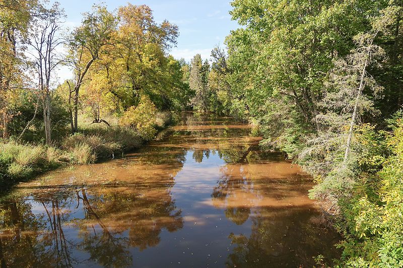
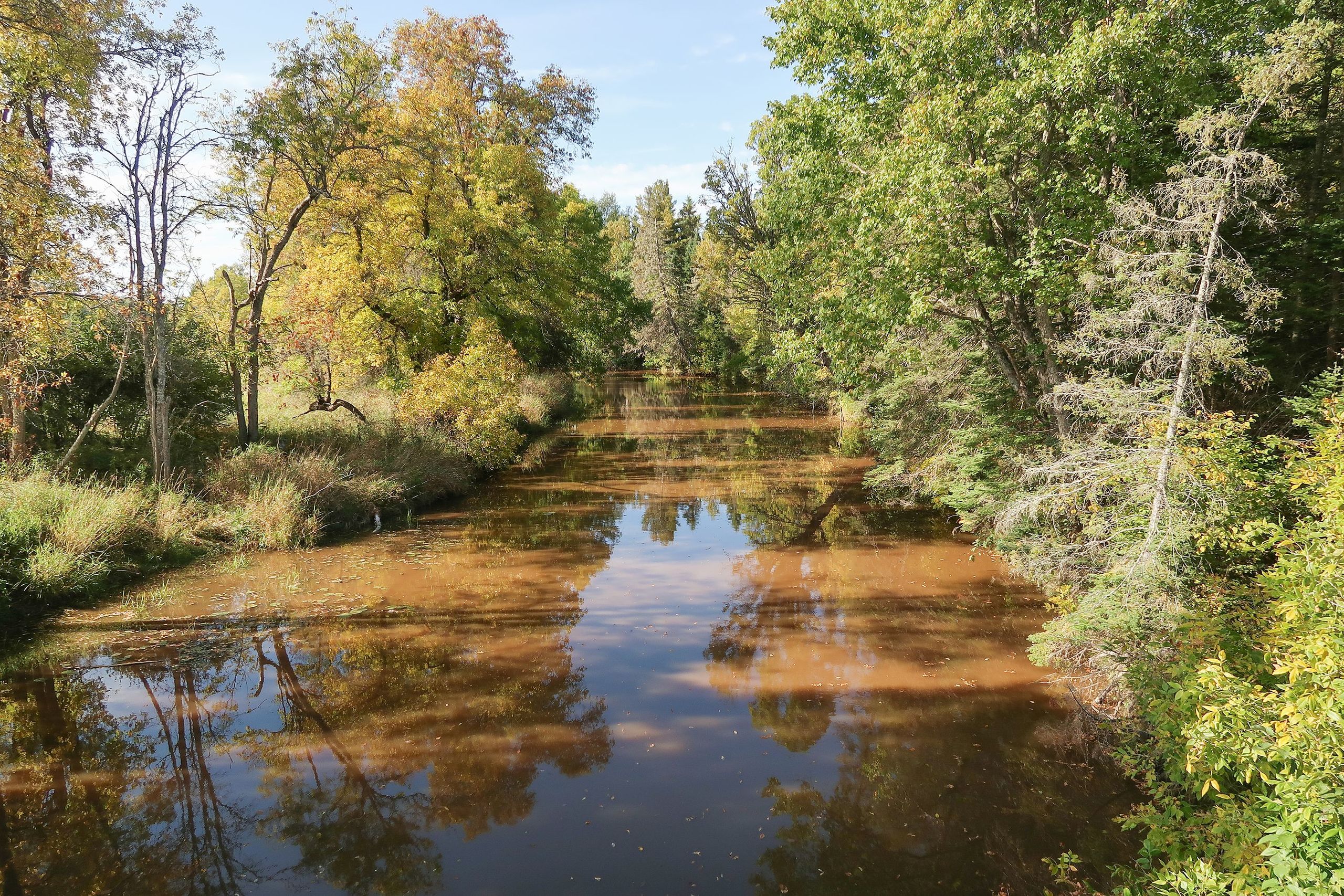
English: The Charlotte River as viewed from a bridge on East 12 Mile Road in Bruce Township, Chippewa County, Michigan. |
| Date | Taken on 30 September 2016 |
| Source | Own work |
| Author | Tim Kiser (TimK MSI) |
| Camera location | | View this and other nearby images on: OpenStreetMap |
|---|
Licensing[edit]
I, the copyright holder of this work, hereby publish it under the following license:
This file is licensed under the Creative Commons Attribution 4.0 International license.
- You are free:
- to share – to copy, distribute and transmit the work
- to remix – to adapt the work
- Under the following conditions:
- attribution – You must give appropriate credit, provide a link to the license, and indicate if changes were made. You may do so in any reasonable manner, but not in any way that suggests the licensor endorses you or your use.
File history
Click on a date/time to view the file as it appeared at that time.
| Date/Time | Thumbnail | Dimensions | User | Comment | |
|---|---|---|---|---|---|
| current | 21:20, 16 October 2016 | | 5,472 × 3,648 (17.96 MB) | TimK MSI (talk | contribs) | +contrast |
| 21:14, 16 October 2016 |  | 5,472 × 3,648 (16.58 MB) | TimK MSI (talk | contribs) | {{Information |Description ={{en|1=The Charlotte River as viewed from a bridge on East 12 Mile Road in Bruce Township, Chippewa County, Michigan.}} |Source ={{own}} |Autho... |
You cannot overwrite this file.
File usage on Commons
The following page uses this file:
File usage on other wikis
The following other wikis use this file:
- Usage on ceb.wikipedia.org
- Usage on en.wikipedia.org
- Usage on www.wikidata.org