File:Central Europe relief map with waterbodies and borders.png
Jump to navigation
Jump to search

Size of this preview: 734 × 600 pixels. Other resolutions: 294 × 240 pixels | 588 × 480 pixels | 940 × 768 pixels | 1,254 × 1,024 pixels | 2,507 × 2,048 pixels | 3,641 × 2,974 pixels.
Original file (3,641 × 2,974 pixels, file size: 19.09 MB, MIME type: image/png)
Captions
Captions
Add a one-line explanation of what this file represents
Summary[edit]
| Description |
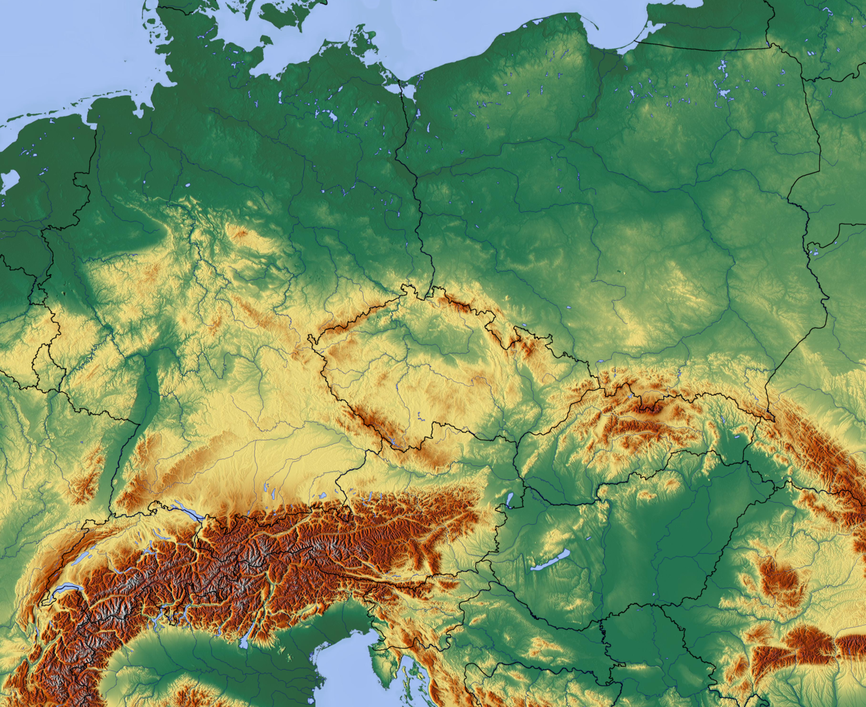
English: Central Europe relief map with waterbodies and borders |
| Date | |
| Source | http://www.maps-for-free.com/ |
| Author | Hans Braxmeier, cs:User:Miraceti |
| Other versions |
Derivative works of this file: Central Europe relief map with 2013 rain.jpg lower resolution |
Licensing[edit]

|
Permission is granted to copy, distribute and/or modify this document under the terms of the GNU Free Documentation License, Version 1.2 or any later version published by the Free Software Foundation; with no Invariant Sections, no Front-Cover Texts, and no Back-Cover Texts. A copy of the license is included in the section entitled GNU Free Documentation License. |
File history
Click on a date/time to view the file as it appeared at that time.
| Date/Time | Thumbnail | Dimensions | User | Comment | |
|---|---|---|---|---|---|
| current | 19:12, 19 December 2012 | | 3,641 × 2,974 (19.09 MB) | Miraceti (talk | contribs) | User created page with UploadWizard |
You cannot overwrite this file.
File usage on Commons
The following page uses this file:
File usage on other wikis
The following other wikis use this file:
- Usage on cs.wikipedia.org