File:Cameroon location map.svg
Jump to navigation
Jump to search

Size of this PNG preview of this SVG file: 416 × 599 pixels. Other resolutions: 166 × 240 pixels | 333 × 480 pixels | 533 × 768 pixels | 711 × 1,024 pixels | 1,422 × 2,048 pixels | 992 × 1,429 pixels.
Original file (SVG file, nominally 992 × 1,429 pixels, file size: 466 KB)
Captions
Captions
Add a one-line explanation of what this file represents
Summary[edit]
| Description |
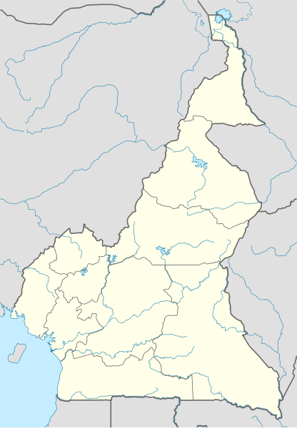
Deutsch: Positionskarte von Kamerun
Quadratische Plattkarte. Geographische Begrenzung der Karte:
English: Location map of Cameroon
Equirectangular projection. Geographic limits of the map:
العربية: خريطة موقع الكاميرون
إسقاط متساوي المستطيل. الحدود الجغرافية للخريطة:
|
| Date | |
| Source |
Own work, using
|
| Author | NordNordWest |
| Permission (Reusing this file) |
I, the copyright holder of this work, hereby publish it under the following license: This file is licensed under the Creative Commons Attribution-Share Alike 3.0 Unported license.
|
| Other versions |
Derivative works of this file: |

|
This map has been made or improved in the German Kartenwerkstatt (Map Lab). You can propose maps to improve as well.
|
File history
Click on a date/time to view the file as it appeared at that time.
| Date/Time | Thumbnail | Dimensions | User | Comment | |
|---|---|---|---|---|---|
| current | 13:34, 29 October 2009 | | 992 × 1,429 (466 KB) | NordNordWest (talk | contribs) | =={{int:filedesc}}== {{Information |Description= {{de|Positionskarte von Kamerun}} Quadratische Plattkarte. Geographische Begrenzung der Karte: * N: 13.5° N * S: 1.4° N * W: 8.2° O * O: 16.6° O {{en|Location map of [[:en:Cameroon|Camer |
You cannot overwrite this file.
File usage on Commons
The following 12 pages use this file:
- User:NordNordWest/Gallery/Location maps
- File:Cameroon - Adamawa.svg
- File:Cameroon - Centre.svg
- File:Cameroon - East.svg
- File:Cameroon - Far North.svg
- File:Cameroon - Littoral.svg
- File:Cameroon - North.svg
- File:Cameroon - South.svg
- File:Cameroon - Southwest.svg
- File:Cameroon - West.svg
- File:Mambere.jpg
- File:Rhumsiki Location map.JPG
File usage on other wikis
The following other wikis use this file:
- Usage on af.wikipedia.org
- Usage on am.wikipedia.org
- Usage on ar.wikipedia.org
- Usage on az.wikipedia.org
- Usage on ba.wikipedia.org
- Usage on be-tarask.wikipedia.org
- Usage on be.wikipedia.org
- Usage on bg.wikipedia.org
- Usage on bn.wikipedia.org
- Usage on bs.wikipedia.org
- Usage on ceb.wikipedia.org
View more global usage of this file.