File:Bus loading on the Shady Esplanade, 2017 08 17 (1).JPG
Jump to navigation
Jump to search
Size of this preview: 800 × 600 pixels. Other resolutions: 320 × 240 pixels | 640 × 480 pixels | 1,024 × 768 pixels | 1,280 × 960 pixels | 2,560 × 1,920 pixels | 4,320 × 3,240 pixels.
Original file (4,320 × 3,240 pixels, file size: 5.64 MB, MIME type: image/jpeg)
Captions
Captions
Add a one-line explanation of what this file represents
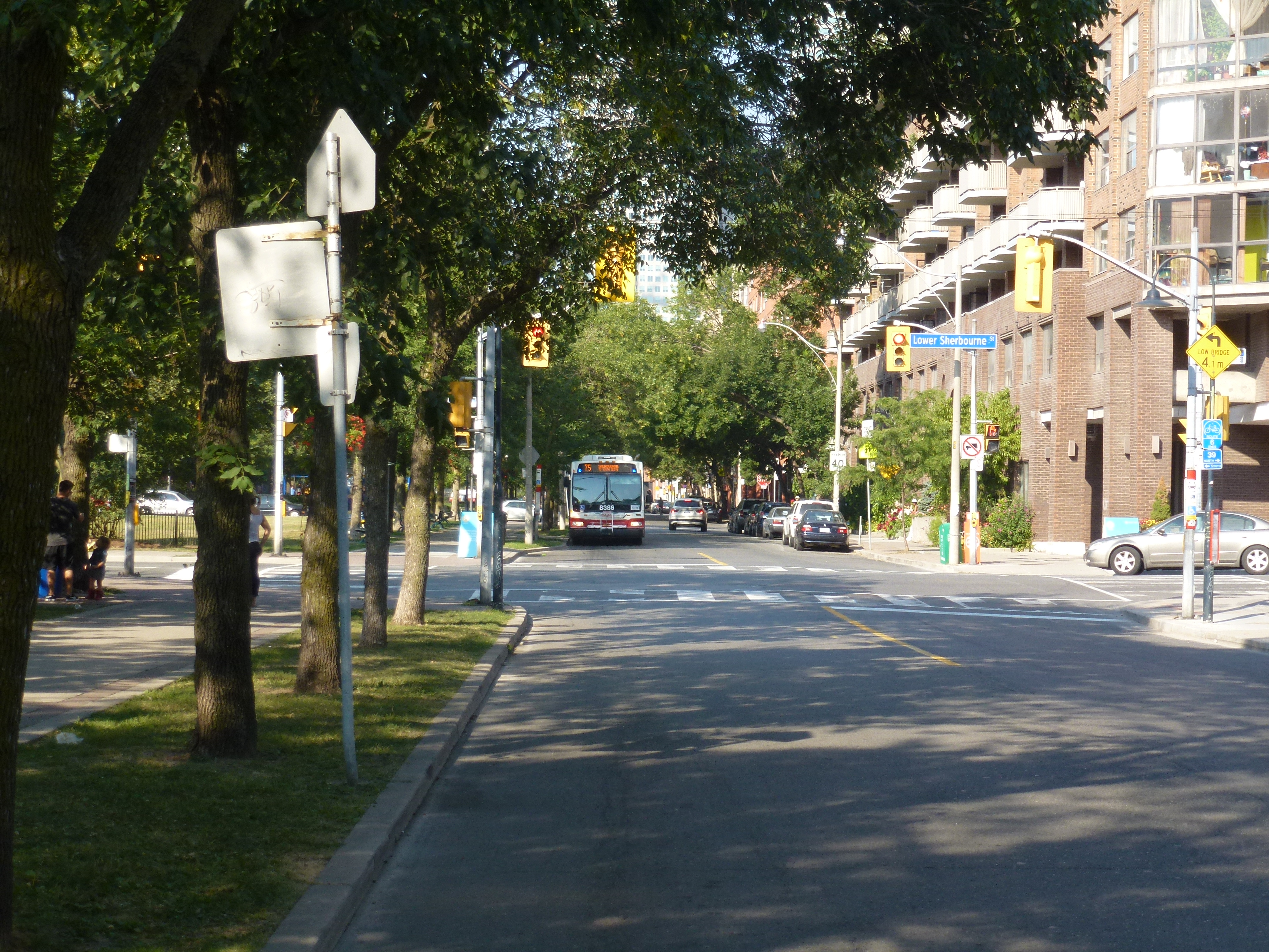
| Description | Bus loading on the Shady Esplanade | ||
| Date | Taken on 17 August 2013 | ||
| Source | Own work | ||
| Author | Geo Swan (talk) | ||
| Permission (Reusing this file) |
|
| Camera location | | View this and other nearby images on: OpenStreetMap |
|---|
.JPG¶ms=043.651483_N_-079.366594_E_globe:Earth_type:camera_source:exif_&language=en)
| Annotations | This image is annotated: View the annotations at Commons |
.JPG)
File history
Click on a date/time to view the file as it appeared at that time.
| Date/Time | Thumbnail | Dimensions | User | Comment | |
|---|---|---|---|---|---|
| current | 16:29, 17 August 2013 | | 4,320 × 3,240 (5.64 MB) | Geo Swan (talk | contribs) | {{Information | Description = Bus loading on the Shady Esplanade | Source = {{own}} | Date = 2013-08-17 | Author = ~~~ | Permission = {{PD-Self}} }} {{GPS EXIF}} Category:2013 in Toronto [[Category:Toronto Transit Commission buses... |
You cannot overwrite this file.
File usage on Commons
There are no pages that use this file.
.JPG&oldid=839559639)