File:Brighton and Hove unparished area UK locator map.svg
Jump to navigation
Jump to search

Size of this PNG preview of this SVG file: 800 × 505 pixels. Other resolutions: 320 × 202 pixels | 640 × 404 pixels | 1,024 × 647 pixels | 1,280 × 808 pixels | 2,560 × 1,617 pixels | 1,425 × 900 pixels.
Original file (SVG file, nominally 1,425 × 900 pixels, file size: 481 KB)
Captions
Captions
Add a one-line explanation of what this file represents
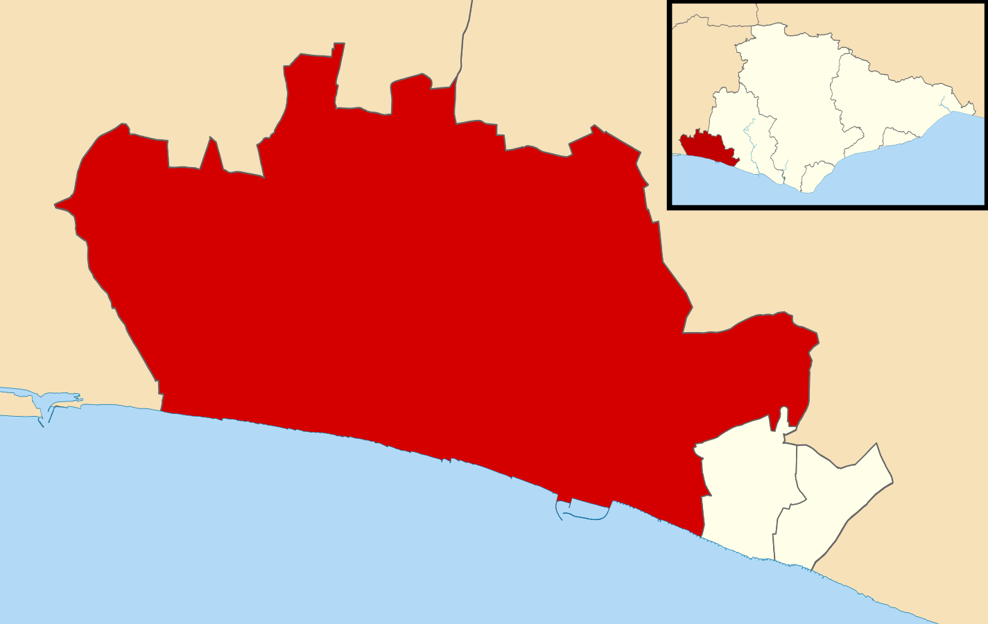
| Description | Map of Brighton and Hove, East Sussex, UK with the main unparished area highlighted. |
| Date | |
| Source |
|
| Author | Nilfanion, created using Ordnance Survey data |
| Permission (Reusing this file) |
This file is licensed under the Creative Commons Attribution-Share Alike 3.0 Unported license. Attribution: Contains Ordnance Survey data © Crown copyright and database right
|
File history
Click on a date/time to view the file as it appeared at that time.
| Date/Time | Thumbnail | Dimensions | User | Comment | |
|---|---|---|---|---|---|
| current | 11:42, 5 November 2015 | | 1,425 × 900 (481 KB) | Nilfanion (talk | contribs) | {{Information |Description=Map of Brighton and Hove, East Sussex, UK with the main unparished area highlighted. |Source=Ordnance Survey [https://www.ordnancesurvey.co.uk/opendatadownload/products.html OpenData]. *Coastline and adm... |
You cannot overwrite this file.
File usage on Commons
The following 2 pages use this file:
File usage on other wikis
The following other wikis use this file:
- Usage on en.wikipedia.org