File:Brest region location map.svg
Jump to navigation
Jump to search

Size of this PNG preview of this SVG file: 638 × 449 pixels. Other resolutions: 320 × 225 pixels | 640 × 450 pixels | 1,024 × 721 pixels | 1,280 × 901 pixels | 2,560 × 1,802 pixels.
Original file (SVG file, nominally 638 × 449 pixels, file size: 3.68 MB)
Captions
Captions
Add a one-line explanation of what this file represents
| Description |
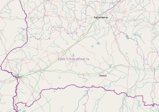
English: Location map of Brest region
Equirectangular projection. Geographic limits of the map:
|
||
| Date | |||
| Source | openstreetmap | ||
| Author | own work with openstreetmap | ||
| Permission (Reusing this file) |
I, the copyright holder of this work, hereby publish it under the following licenses:
This file is licensed under the Creative Commons Attribution-Share Alike Attribution-Share Alike 4.0 International, 3.0 Unported, 2.5 Generic, 2.0 Generic and 1.0 Generic license.
You may select the license of your choice. |

File history
Click on a date/time to view the file as it appeared at that time.
| Date/Time | Thumbnail | Dimensions | User | Comment | |
|---|---|---|---|---|---|
| current | 22:20, 16 March 2011 | | 638 × 449 (3.68 MB) | Хомелка (talk | contribs) | {{Information |Description ={{en|1=Location map of Brest region}} Equirectangular projection. Geographic limits of the map: * N: 53.42° N * S: 51.49° N * W: 23.17° E * E: 27.66° E}} |Source =openstreetmap |Aut |
You cannot overwrite this file.
File usage on Commons
There are no pages that use this file.
File usage on other wikis
The following other wikis use this file:
- Usage on be.wikipedia.org
- Usage on bg.wikipedia.org
- Usage on pl.wikipedia.org