File:Brent London UK blank ward map.svg
Jump to navigation
Jump to search

Size of this PNG preview of this SVG file: 750 × 600 pixels. Other resolutions: 300 × 240 pixels | 600 × 480 pixels | 960 × 768 pixels | 1,280 × 1,024 pixels | 2,560 × 2,048 pixels | 1,425 × 1,140 pixels.
Original file (SVG file, nominally 1,425 × 1,140 pixels, file size: 375 KB)
Captions
Captions
Add a one-line explanation of what this file represents
| Description |
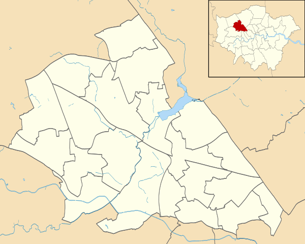
Blank map of the London Borough of Brent, showing electoral wards. Equirectangular map projection on WGS 84 datum, with N/S stretched 160% Geographic limits:
|
| Date | |
| Source |
|
| Author | Nilfanion |
| Permission (Reusing this file) |
This file is licensed under the Creative Commons Attribution-Share Alike 3.0 Unported license. Attribution: Contains Ordnance Survey data © Crown copyright and database right
|
File history
Click on a date/time to view the file as it appeared at that time.
| Date/Time | Thumbnail | Dimensions | User | Comment | |
|---|---|---|---|---|---|
| current | 21:51, 28 July 2011 | | 1,425 × 1,140 (375 KB) | Nilfanion (talk | contribs) | {{Information |Description=Blank map of the London Borough of Brent, showing electoral wards. Equirectangular map projection on WGS 84 datum, with N/S stretched 160% Geographic limits: *West: 0.07E *East: 0.23E *North: 51.5 |
You cannot overwrite this file.
File usage on Commons
The following 6 pages use this file:
File usage on other wikis
The following other wikis use this file:
- Usage on en.wikipedia.org
- Usage on fr.wikipedia.org
- Usage on he.wikipedia.org
- Usage on pl.wikipedia.org
- Stadion Wembley
- Stadion Wembley (1923)
- Kenton (stacja kolejowa)
- South Kenton (stacja)
- North Wembley (stacja)
- Wembley Central
- Stonebridge Park (stacja)
- Harlesden (stacja kolejowa)
- Willesden Junction (stacja)
- Kensal Green (stacja metra)
- Queen’s Park (stacja kolejowa)
- Kilburn Park
- Kingsbury (stacja metra)
- Queensbury (stacja metra)
- BAPS Shri Swaminarayan Mandir w Londynie
- Wembley Park
- Neasden
- Dollis Hill (stacja metra)
- Willesden Green (stacja metra)
- Kilburn (stacja metra)
- Kensal Rise (stacja kolejowa)
- Brondesbury Park (stacja kolejowa)
- Sudbury & Harrow Road
- Wembley Stadium (stacja kolejowa)
- Wembley Arena
- Alperton (stacja metra)
- Brondesbury (stacja kolejowa)
- Moduł:Mapa/dane/Brent
- Moduł:Mapa/dane/GB-BEN
- Usage on pl.wikibooks.org