File:Bremen Groningen Friesen.png
Jump to navigation
Jump to search
Size of this preview: 800 × 530 pixels. Other resolutions: 320 × 212 pixels | 640 × 424 pixels | 843 × 559 pixels.
Original file (843 × 559 pixels, file size: 205 KB, MIME type: image/png)
Captions
Captions
Add a one-line explanation of what this file represents
Summary[edit]
| Description |
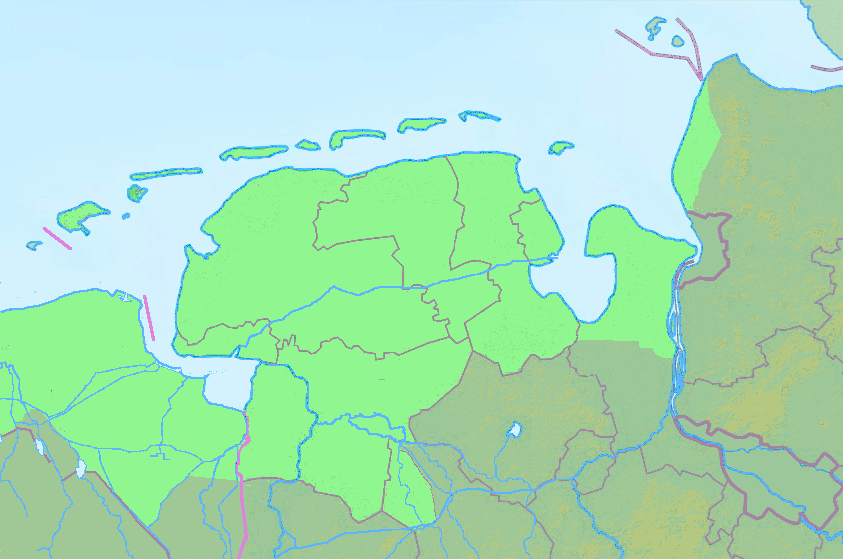
Quadratische Plattkarte, N-S-Streckung 160 %. Gebiete friesischer Tradition kräftig grün hervorgehoben Geographische Begrenzung der Karte:
Equirectangular projection, N/S stretching 160 %. Geographic limits of the map:
|
| Date | + 2020-04-17 |
| Source | |
| Author | Grundkarte NordNordWest, Relief Alexrk2, Details Ulamm (talk) |

|
This map has been made or improved in the German Kartenwerkstatt (Map Lab). You can propose maps to improve as well.
|
Licensing[edit]
I, the copyright holder of this work, hereby publish it under the following license:
This file is licensed under the Creative Commons Attribution-Share Alike 3.0 Unported license.
- You are free:
- to share – to copy, distribute and transmit the work
- to remix – to adapt the work
- Under the following conditions:
- attribution – You must give appropriate credit, provide a link to the license, and indicate if changes were made. You may do so in any reasonable manner, but not in any way that suggests the licensor endorses you or your use.
- share alike – If you remix, transform, or build upon the material, you must distribute your contributions under the same or compatible license as the original.
[[Category:Commons map adapted by Ulammʼ
File history
Click on a date/time to view the file as it appeared at that time.
| Date/Time | Thumbnail | Dimensions | User | Comment | |
|---|---|---|---|---|---|
| current | 12:17, 17 April 2020 | | 843 × 559 (205 KB) | Ulamm (talk | contribs) | {{Information |Description= {{de|Physische Positionskarte von Niedersachsen, Deutschland}} Quadratische Plattkarte, N-S-Streckung 160 %. Gebiete friesischer Tradition kräftig grün hervorgehoben Geographische Begrenzung der Karte: * N: 54.0° N * S: 52.59° N * W: 6.44° O * O: 8.966° O {{en|Physical Location map of Lower Saxony, Germany}} Equirectangular projection, N/S stretching 160 %. Geographic limits of the map:... |
You cannot overwrite this file.
File usage on Commons
There are no pages that use this file.
File usage on other wikis
The following other wikis use this file:
- Usage on de.wikipedia.org