File:Blank map of Sudan administrative areas pre-2011.svg

From Wikimedia Commons, the free media repository
Jump to navigation Jump to search

Original file(SVG file, nominally 600 × 704 pixels, file size: 574 KB)

Captions

Captions

Add a one-line explanation of what this file represents
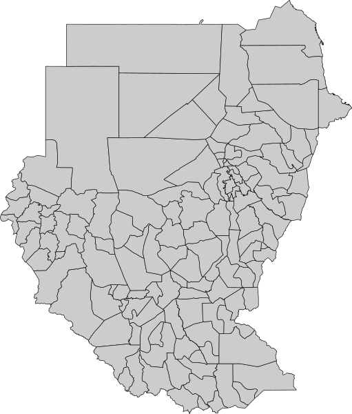
Description A blank map of Sudan with its administrative areas
Date
Source Map originally from Maplibrary.org, .shp file converted to svg (via eps) using mapshaper.org and final code cleaned up using a text editor.
Author Maplibrary.org
Permission
(Reusing this file)
Public domain
Public domain
This file is in the public domain, because it was generated by a user, using free sources available at The Map Library.

Note that this does not include the maps in the Global Administrative Areas section of the homepage.

Other versions Derivative works of this file:  Nick-Krankheit Suedsudan.svg

File history

Click on a date/time to view the file as it appeared at that time.

Date/TimeThumbnailDimensionsUserComment
current16:31, 11 May 2008Thumbnail for version as of 16:31, 11 May 2008600 × 704 (574 KB)Lokal Profil (talk | contribs){{Information |Description=A blank map of sudan with it's administrative areas |Source=Map originally from [http://www.maplibrary.org/stacks/Africa/Sudan/index.php Maplibrary.org], .shp file converted to svg (via eps) using [http://www.mapshaper.org/ maps