File:Blaeu 1645 - Saxonia Superior cum Lusatia et Misnia.jpg
Jump to navigation
Jump to search

Size of this preview: 715 × 600 pixels. Other resolutions: 286 × 240 pixels | 572 × 480 pixels | 916 × 768 pixels | 1,221 × 1,024 pixels | 2,442 × 2,048 pixels | 3,720 × 3,120 pixels.
Original file (3,720 × 3,120 pixels, file size: 1.26 MB, MIME type: image/jpeg)
Captions
Captions
Add a one-line explanation of what this file represents
Summary[edit]
| Description |
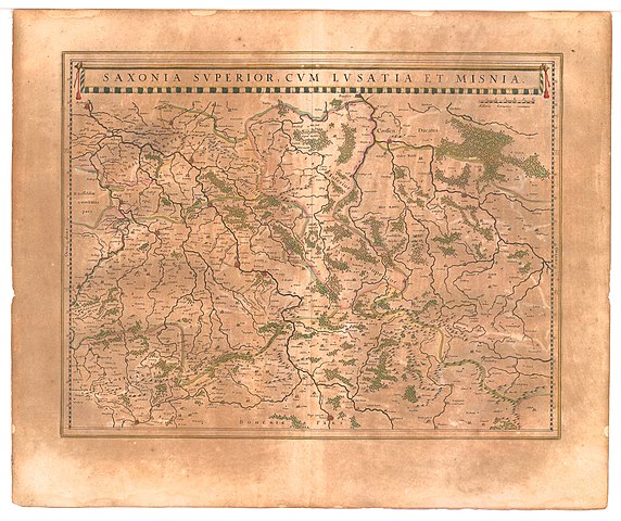
Saxonia Superior cum Lusatia et Misnia Deutsch: Karte der Obersachsens mit der Oberlausitz Meißen (sowie Schlesien) aus dem Jahr 1645
English: 1645 map of Upper Saxony, with Lusatia and Meissen. |
| Date | |
| Source | University of California: Theatrum Orbis Terrarum, sive Atlas Novus in quo Tabulæ et Descriptiones Omnium Regionum, Editæ a Guiljel et Ioanne Blaeu (Theater of the World, or a New Atlas of Maps and Representations of All Regions, Edited by Willem and Joan Blaeu) |
| Author | Willem and Joan Blaeu |
Licensing[edit]
|
This work is in the public domain in its country of origin and other countries and areas where the copyright term is the author's life plus 100 years or fewer. | |
| This file has been identified as being free of known restrictions under copyright law, including all related and neighboring rights. | |
File history
Click on a date/time to view the file as it appeared at that time.
| Date/Time | Thumbnail | Dimensions | User | Comment | |
|---|---|---|---|---|---|
| current | 20:38, 17 January 2007 | | 3,720 × 3,120 (1.26 MB) | Simplicius (talk | contribs) | == Summary == ; Title : '''''Saxonia Superior cum Lusatia et Misnia''''' (''Upper Saxony, with Lusatia and Meissen.'')<br>from<br>"Theatrum Orbis Terrarum, sive Atlas Novus in quo Tabulæ et Descriptiones Omnium Regionum, Editæ a Guiljel et Ioanne Blaeu" |
You cannot overwrite this file.
File usage on Commons
The following page uses this file:
File usage on other wikis
The following other wikis use this file:
- Usage on de.wikipedia.org
- Usage on pl.wikipedia.org