File:Bayarea map.png
Jump to navigation
Jump to search

Size of this preview: 533 × 600 pixels. Other resolutions: 213 × 240 pixels | 426 × 480 pixels | 682 × 768 pixels | 910 × 1,024 pixels | 1,539 × 1,732 pixels.
Original file (1,539 × 1,732 pixels, file size: 475 KB, MIME type: image/png)
Captions
Captions
Add a one-line explanation of what this file represents
Summary
[edit]
| Description |
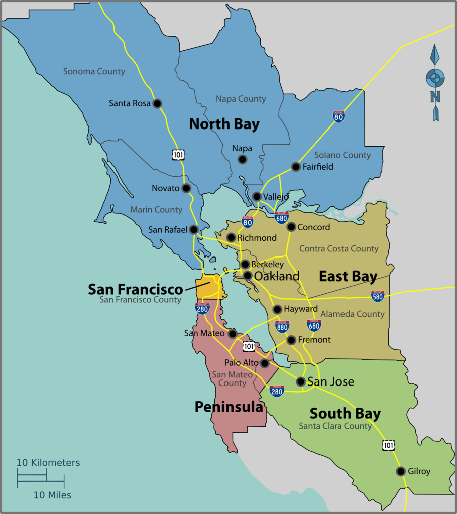
English: Map of the San Francisco Bay Area — the region in Northern California.
|
| Date | |
| Source | Image:Bayarea map.svg |
| Author | PerryPlanet |

|
File:Bayarea map.svg is a vector version of this file. It should be used in place of this PNG file when not inferior.
File:Bayarea map.png → File:Bayarea map.svg
For more information, see Help:SVG. |
 |
Licensing
[edit]
| This work has been released into the public domain by its author, User: (WT-shared) PerryPlanet at wts wikivoyage. This applies worldwide. In some countries this may not be legally possible; if so: User: (WT-shared) PerryPlanet at wts wikivoyage grants anyone the right to use this work for any purpose, without any conditions, unless such conditions are required by law.
|
Original upload log
[edit]
| This file was imported from Wikivoyage WTS. |
The original description page was here. All following user names refer to wts.wikivoyage-old.
- 2010-10-17 03:39 (WT-shared) PerryPlanet[dead link] 1438×1616 (481629 bytes) {{Imagecredit|credit=PerryPlanet|captureDate=10/16/2010|location=Bay Area (California)|source=[[Image:Bayarea map.svg]]|caption=Bay Area Reg (Import from wikitravel.org/shared)
File history
Click on a date/time to view the file as it appeared at that time.
| Date/Time | Thumbnail | Dimensions | User | Comment | |
|---|---|---|---|---|---|
| current | 11:51, 27 September 2017 | | 1,539 × 1,732 (475 KB) | Haha169 (talk | contribs) | okay finally fixed |
| 11:50, 27 September 2017 |  | 1,539 × 1,734 (475 KB) | Haha169 (talk | contribs) | fix minor inconsistency | |
| 11:48, 27 September 2017 |  | 1,539 × 1,732 (473 KB) | Haha169 (talk | contribs) | change font for readability, adjust hierarchy in favor of the subregions (that's what this map is being used for), and remove airports due to clutter | |
| 04:51, 21 September 2017 |  | 1,462 × 1,645 (500 KB) | Haha169 (talk | contribs) | ok was being lazy. fix sonoma county borders | |
| 03:40, 21 September 2017 |  | 1,451 × 1,634 (494 KB) | Haha169 (talk | contribs) | Add santa clara county lines and restore Sonoma County, can't find any literature on what part of Sonoma county is cut off from the Bay Area | |
| 20:49, 17 November 2012 |  | 1,438 × 1,616 (470 KB) | MGA73bot2 (talk | contribs) | {{BotMoveToCommons|wts.oldwikivoyage|year={{subst:CURRENTYEAR}}|month={{subst:CURRENTMONTHNAME}}|day={{subst:CURRENTDAY}}}} == {{int:filedesc}} == {{Information |description=Bay Area Regions Map. , Bay Area (California) * Map of: Bay Area (California)... |
You cannot overwrite this file.
File usage on Commons
The following page uses this file:
File usage on other wikis
The following other wikis use this file:
- Usage on cy.wikipedia.org
- Usage on de.wikivoyage.org
- Usage on he.wikivoyage.org
- Usage on it.wikivoyage.org
- Usage on mr.wikipedia.org
- Usage on zh.wikipedia.org