File:Austin Site from KY138.jpg
Jump to navigation
Jump to search

Size of this preview: 800 × 450 pixels. Other resolutions: 320 × 180 pixels | 640 × 360 pixels | 1,024 × 576 pixels | 1,280 × 720 pixels | 2,816 × 1,584 pixels.
Original file (2,816 × 1,584 pixels, file size: 1.24 MB, MIME type: image/jpeg)
Captions
Captions
Add a one-line explanation of what this file represents
|
This is an image of a place or building that is listed on the National Register of Historic Places in the United States of America. Its reference number is 86000650. |
| Camera location | | View this and other nearby images on: OpenStreetMap |
|---|
| Description |
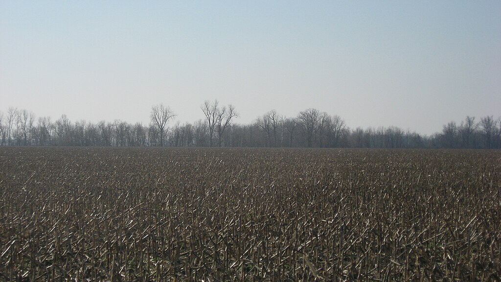
English: Looking toward the Austin Site, a shell midden at the edge of the woods in the distance. Located off the northern side of Kentucky Route 138 west of Rumsey in McLean County, Kentucky, United States, it is an archaeological site and listed on the National Register of Historic Places. In 1994, it was declared part of the Green River Shell Middens Archeological District, a National Historic Landmark. |
||
| Date | Taken on 6 February 2013 | ||
| Source | Own work | ||
| Author | Nyttend | ||
| Permission (Reusing this file) |
|
File history
Click on a date/time to view the file as it appeared at that time.
| Date/Time | Thumbnail | Dimensions | User | Comment | |
|---|---|---|---|---|---|
| current | 23:35, 9 February 2013 | | 2,816 × 1,584 (1.24 MB) | Nyttend (talk | contribs) | {{NRHP|86000653}} {{Location|37|32|4|N|87|18|44|W}} {{Information |Description={{en|Looking toward the {{w|R.D. Ford Shell Midden}}, a {{w|midden|shell midden}} at the edge of the woods in the distance. Located off the northern side of {{w|Kentucky Ro... |
You cannot overwrite this file.
File usage on Commons
The following page uses this file:
- File:Ford Shell Midden from KY138.jpg (file redirect)
File usage on other wikis
The following other wikis use this file: