File:Athlone On The Shannon River (2720479252).jpg

Original file (5,616 × 3,744 pixels, file size: 11.28 MB, MIME type: image/jpeg)
Captions
Captions
Summary[edit]
.jpg&action=edit§ion=1)
| Description |
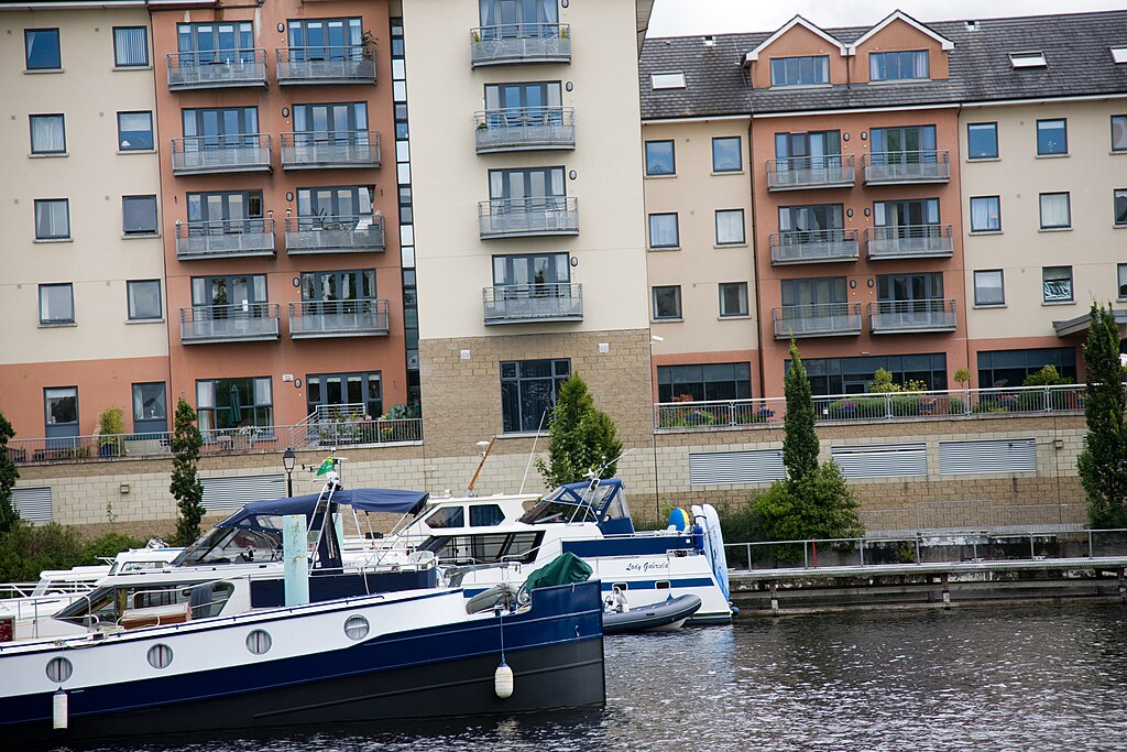
The River Shannon (Sionainn or Sionna in Irish) is, at 386 km (240 miles), the longest river in Ireland, and indeed the whole of the British Isles.[1][2] It divides the west of the island of Ireland (principally the province of Connacht) from the east and south (Leinster and most of Munster). County Clare, being west of the Shannon but part of the province of Munster, is the major exception. The river represents a major physical barrier between east and west, with fewer than twenty crossing-points between Limerick city in the south and the town of Carrick on Shannon in the north. The Shannon has been an important waterway since antiquity, having first been mapped by the Graeco-Egyptian geographer Ptolemy. The river flows generally southward from the Shannon Pot in County Cavan before turning west and emptying into the Atlantic Ocean through the 113 km (70 mi) long Shannon Estuary. Limerick city stands at the point where the river water meets the sea water of the estuary. The Shannon is unaffected by sea tides east of Limerick. |
| Date | |
| Source | Athlone On The Shannon River |
| Author | William Murphy from Dublin, Ireland |
| Camera location | | View this and other nearby images on: OpenStreetMap |
|---|
.jpg¶ms=053.424111_N_-007.942257_E_globe:Earth_type:camera_alt:0_source:exif_&language=en)
Licensing[edit]
.jpg&action=edit§ion=2)
- You are free:
- to share – to copy, distribute and transmit the work
- to remix – to adapt the work
- Under the following conditions:
- attribution – You must give appropriate credit, provide a link to the license, and indicate if changes were made. You may do so in any reasonable manner, but not in any way that suggests the licensor endorses you or your use.
- share alike – If you remix, transform, or build upon the material, you must distribute your contributions under the same or compatible license as the original.
| This image was originally posted to Flickr by infomatique at https://flickr.com/photos/80824546@N00/2720479252. It was reviewed on 20 February 2022 by FlickreviewR 2 and was confirmed to be licensed under the terms of the cc-by-sa-2.0. |
File history
Click on a date/time to view the file as it appeared at that time.
| Date/Time | Thumbnail | Dimensions | User | Comment | |
|---|---|---|---|---|---|
| current | 20:46, 20 February 2022 | | 5,616 × 3,744 (11.28 MB) | SeichanGant (talk | contribs) | Transferred from Flickr via #flickr2commons |
You cannot overwrite this file.
File usage on Commons
There are no pages that use this file.
.jpg&oldid=843867832)