File:Athlone On The Shannon River.jpg

Original file (5,616 × 3,744 pixels, file size: 9.77 MB, MIME type: image/jpeg)
Captions
Captions
Summary[edit]
| Description |
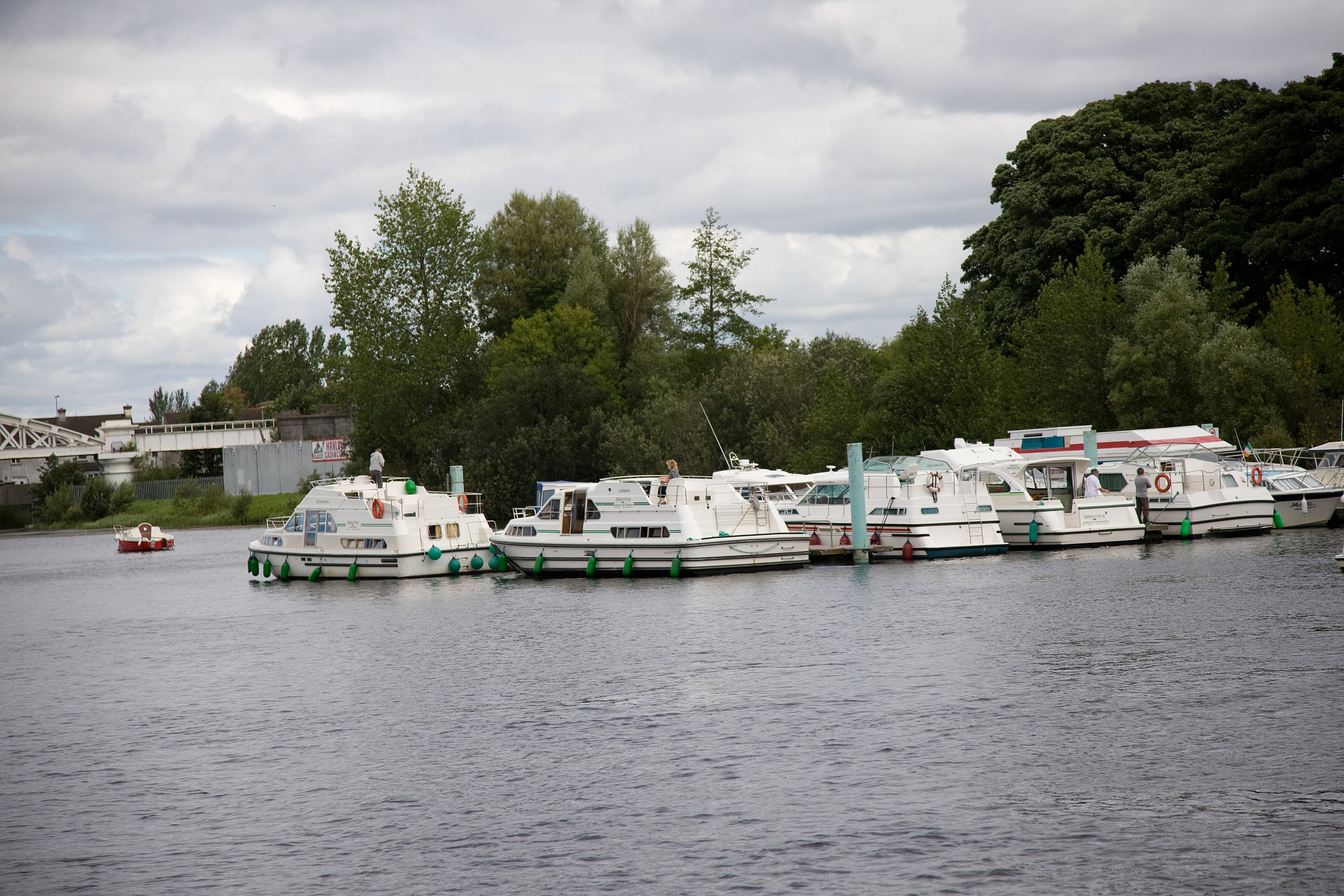
Waterways Ireland is the navigation authority for over 1000km of inland waterways in Ireland, namely the Shannon-Erne Waterway, the Erne System, the Grand Canal, the Barrow Navigation, the Lower Bann Navigation, the Royal Canal and the Shannon Navigation. The Waterways Ireland Office of the Inspectorate of Navigation is responsible for enforcing the navigational bye-laws, maintaining a register of vessels and carrying out inspection and monitoring of Waterway's Ireland harbours and jetties to ensure that they are used and kept in a safe and responsible manner. The Inspectorate carry out regular patrols of the waterways by road and water. Any irresponsible behaviour or poor boatmanship encountered is immediately brought to the attention of the owner of the craft. Craft speeding within speed restriction areas are similarly dealt with. The Waterways Ireland Inspectorate of Navigation is happy to advise boat users on navigational matters and provide information on boat registration and the bye-laws. The Inspectorate of Navigation can be contacted at +353 90 6494232 (Athlone) or +44 28 66322836 (Enniskillen). As an aid to boat and craft owners, Waterways Ireland has produced a "Good Boating Guide" which includes guidelines on operating craft on Waterways Ireland's Navigations. This guide is available to download free of charge from the "Safety on the Water" section of the Waterways Ireland website at www.waterwaysireland.org or by calling the Marketing and Communications Division of Waterways Ireland at +44 28 66346219 (Enniskillen) or +353 71 9650787 (Carrick on Shannon). |
| Date | |
| Source | Athlone On The Shannon River |
| Author | William Murphy from Dublin, Ireland |
| Camera location | | View this and other nearby images on: OpenStreetMap |
|---|
Licensing[edit]
- You are free:
- to share – to copy, distribute and transmit the work
- to remix – to adapt the work
- Under the following conditions:
- attribution – You must give appropriate credit, provide a link to the license, and indicate if changes were made. You may do so in any reasonable manner, but not in any way that suggests the licensor endorses you or your use.
- share alike – If you remix, transform, or build upon the material, you must distribute your contributions under the same or compatible license as the original.
| This image was originally posted to Flickr by infomatique at https://www.flickr.com/photos/80824546@N00/2719699687. It was reviewed on 31 May 2009 by FlickreviewR and was confirmed to be licensed under the terms of the cc-by-sa-2.0. |
File history
Click on a date/time to view the file as it appeared at that time.
| Date/Time | Thumbnail | Dimensions | User | Comment | |
|---|---|---|---|---|---|
| current | 11:30, 31 May 2009 | | 5,616 × 3,744 (9.77 MB) | Geo Swan (talk | contribs) | {{Information |Description= Waterways Ireland is the navigation authority for over 1000km of inland waterways in Ireland, namely the Shannon-Erne Waterway, the Erne System, the Grand Canal, the Barrow Navigation, the Lower Bann Navigation, the Royal Canal |
You cannot overwrite this file.
File usage on Commons
There are no pages that use this file.
File usage on other wikis
The following other wikis use this file:
- Usage on id.wikipedia.org