File:Antwerpen - Tour de France, étape 3, 6 juillet 2015, départ (311).JPG
From Wikimedia Commons, the free media repository
Jump to navigation
Jump to search
Size of this preview: 800 × 564 pixels. Other resolutions: 320 × 226 pixels | 640 × 451 pixels | 1,024 × 722 pixels | 1,280 × 902 pixels | 2,560 × 1,804 pixels | 4,989 × 3,516 pixels.
Original file (4,989 × 3,516 pixels, file size: 7.44 MB, MIME type: image/jpeg)
File information
Structured data
Captions
Summary[edit]
DescriptionAntwerpen - Tour de France, étape 3, 6 juillet 2015, départ (311).JPG |
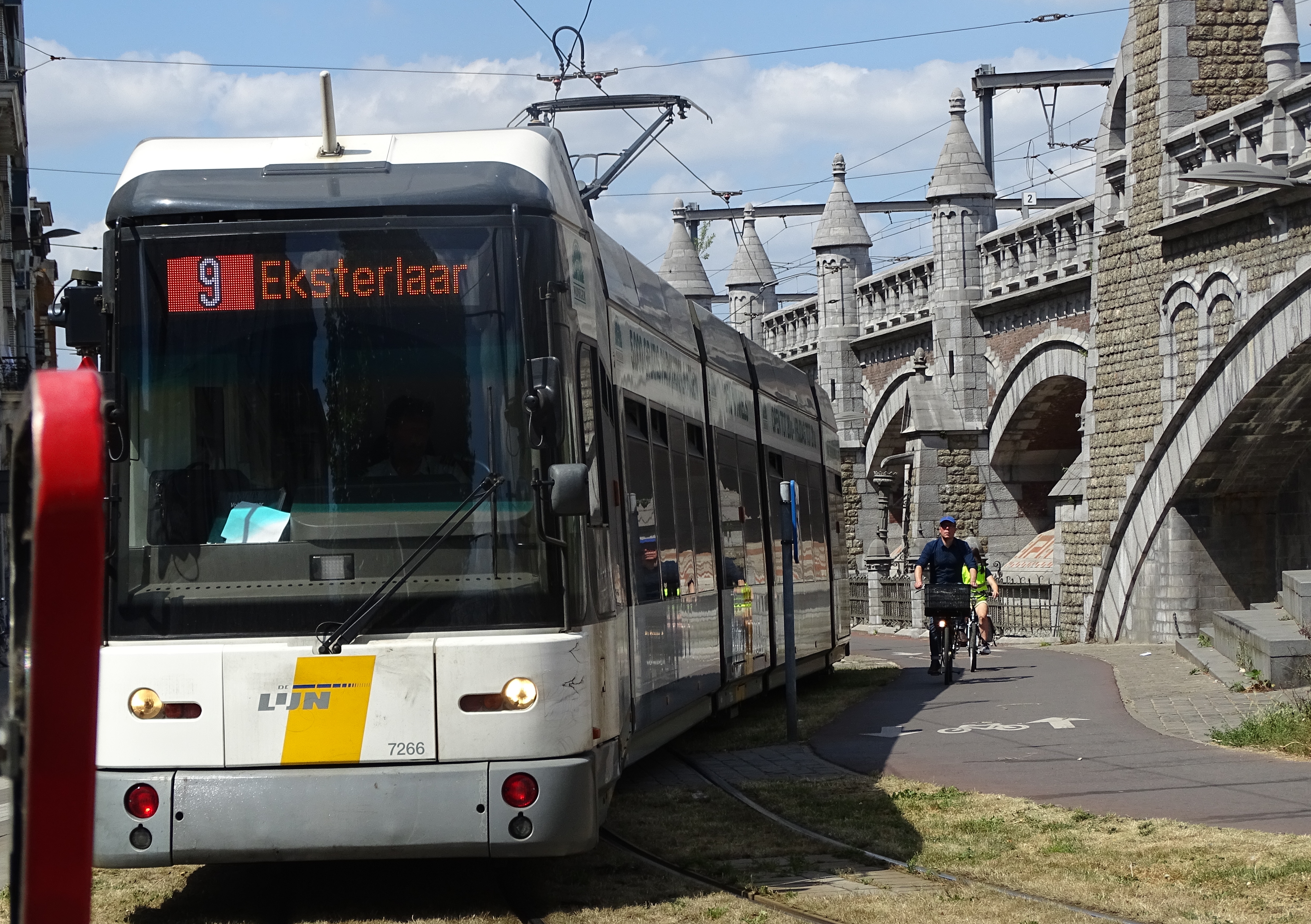
Français : Reportage réalisé le lundi 6 juillet à l'occasion du départ de la troisième étape du Tour de France 2015 à Anvers, Belgique.
Nederlands: Vertrek, maandag 6 juli 2015, derde etappe, Ronde van Frankrijk 2015, Antwerpen, België.
| |||||||||||||||||||||||
WMC InfoField | Ce fichier a été produit dans le cadre du projet d'illustration du cyclisme. | |||||||||||||||||||||||
Date | ||||||||||||||||||||||||
Source | Own work | |||||||||||||||||||||||
Author |
creator QS:P170,Q58229383 |
|||||||||||||||||||||||
Permission (Reusing this file) |
This file is licensed under the Creative Commons Attribution-Share Alike 3.0 Unported license.
| |||||||||||||||||||||||
Attribution (required by the license) InfoField | Jérémy-Günther-Heinz Jähnick / Antwerpen - Tour de France, étape 3, 6 juillet 2015, départ (311) / Wikimedia Commons / | |||||||||||||||||||||||
InfoField | Jérémy-Günther-Heinz Jähnick / Antwerpen - Tour de France, étape 3, 6 juillet 2015, départ (311) / Wikimedia Commons |
Camera location | 51° 12′ 20.92″ N, 4° 25′ 33.78″ E | View this and other nearby images on: OpenStreetMap | 51.205810; 4.426051 |
---|
File history
Click on a date/time to view the file as it appeared at that time.
Date/Time | Thumbnail | Dimensions | User | Comment | |
---|---|---|---|---|---|
current | 09:49, 7 July 2015 | 4,989 × 3,516 (7.44 MB) | Jérémy-Günther-Heinz Jähnick (talk | contribs) |
You cannot overwrite this file.
File usage on Commons
The following page uses this file:
Metadata
This file contains additional information such as Exif metadata which may have been added by the digital camera, scanner, or software program used to create or digitize it. If the file has been modified from its original state, some details such as the timestamp may not fully reflect those of the original file. The timestamp is only as accurate as the clock in the camera, and it may be completely wrong.
Camera manufacturer | SONY |
---|---|
Camera model | DSC-HX400V |
Exposure time | 1/1,000 sec (0.001) |
F-number | f/4 |
ISO speed rating | 80 |
Date and time of data generation | 14:57, 6 July 2015 |
Lens focal length | 14.66 mm |
Latitude | 51° 12′ 20.92″ N |
Longitude | 4° 25′ 33.79″ E |
Altitude | 21.1 meters above sea level |
Orientation | Normal |
Horizontal resolution | 350 dpi |
Vertical resolution | 350 dpi |
Software used | DSC-HX400V v2.00 |
File change date and time | 20:34, 6 July 2015 |
Y and C positioning | Co-sited |
Exposure Program | Normal program |
Exif version | 2.3 |
Date and time of digitizing | 14:57, 6 July 2015 |
Meaning of each component |
|
Image compression mode | 3 |
APEX brightness | 9.9859375 |
APEX exposure bias | 0 |
Maximum land aperture | 4 APEX (f/4) |
Metering mode | Pattern |
Light source | Unknown |
Flash | Flash fired, strobe return light not detected, compulsory flash firing |
Supported Flashpix version | 1 |
Color space | sRGB |
File source | Digital still camera |
Scene type | A directly photographed image |
Custom image processing | Normal process |
Exposure mode | Auto exposure |
White balance | Auto white balance |
Digital zoom ratio | 1 |
Scene capture type | Standard |
Contrast | Normal |
Saturation | Normal |
Sharpness | Normal |
Unique image ID | 1ECB4FAD4C12401E9CBF6181AA90AE99 |
GPS time (atomic clock) | 12:57 |
Receiver status | Measurement in progress |
Measurement mode | 3-dimensional measurement |
Measurement precision | Poor (1.91) |
Speed unit | Kilometers per hour |
Speed of GPS receiver | 0.4 |
Reference for direction of movement | True direction |
Direction of movement | 211.43 |
Geodetic survey data used | WGS-84 |
GPS date | 6 July 2015 |
GPS differential correction | 0 |
GPS tag version | 2.3.0.0 |
Structured data
Items portrayed in this file
depicts
6 July 2015
51°12'20.91600"N, 4°25'33.78500"E
0.001 second
14.66 millimetre
image/jpeg
9adf9748bd933009e0c387acfb3a83d773288e1e
7,797,452 byte
3,516 pixel
4,989 pixel
Categories:
- Tour de France 2015, étape 3, Antwerpen
- Tram route 9 (Antwerp, 2012)
- Mercatorstraat (Antwerpen)
- Railway viaduct in Antwerp city
- 2015 in tram transport in Antwerp
- Bombardier-Siemens MGT6-1 Hermelijn (Antwerp)
- LED displays on trams
- Grass-covered tram tracks in Belgium
- Bicycles in Antwerp
- Bikeways in Antwerp
- 2015 in Antwerp