File:Adath Jeshurun Temple in Louisville.jpg
Jump to navigation
Jump to search

Size of this preview: 800 × 600 pixels. Other resolutions: 320 × 240 pixels | 640 × 480 pixels | 1,024 × 768 pixels | 1,280 × 960 pixels | 2,560 × 1,920 pixels | 2,816 × 2,112 pixels.
Original file (2,816 × 2,112 pixels, file size: 3.41 MB, MIME type: image/jpeg)
Captions
Captions
Add a one-line explanation of what this file represents
|
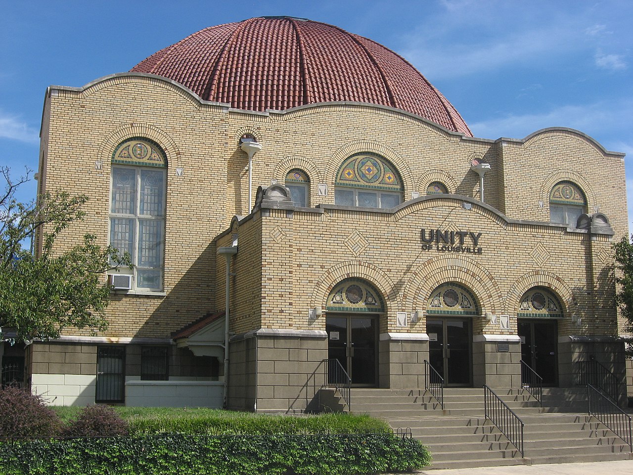
This is an image of a place or building that is listed on the National Register of Historic Places in the United States of America. Its reference number is 82002703. |
| Camera location | | View this and other nearby images on: OpenStreetMap |
|---|
| Description |
English: Front of the former Adath Jeshurun Temple (now Unity of Louisville), located at 757 S. Brook Street in Louisville, Kentucky, United States. Built in 1918, it and a related former school are listed together on the National Register of Historic Places. |
||
| Date | Taken on 15 September 2012 | ||
| Source | Own work | ||
| Author | Nyttend | ||
| Permission (Reusing this file) |
|
File history
Click on a date/time to view the file as it appeared at that time.
| Date/Time | Thumbnail | Dimensions | User | Comment | |
|---|---|---|---|---|---|
| current | 03:24, 8 November 2012 | | 2,816 × 2,112 (3.41 MB) | Nyttend (talk | contribs) | {{NRHP|82002703}} {{Location|38|14|35|N|85|45|7|W}} {{Information |Description={{en|Front of the former {{w|Adath Jeshurun Temple and School|Adath Jeshurun Temple}} (now Unity of Louisville), located at 757 S. Brook Street in {{w|Louisville, Kentucky|L... |
You cannot overwrite this file.
File usage on Commons
The following page uses this file:
File usage on other wikis
The following other wikis use this file:
- Usage on ar.wikipedia.org
- Usage on en.wikipedia.org
- Usage on hu.wikipedia.org
- Usage on ia.wikipedia.org
- Usage on www.wikidata.org