File:3125San Juan East San Juan West Aringay, La Union 17.jpg
Jump to navigation
Jump to search
Size of this preview: 800 × 600 pixels. Other resolutions: 320 × 240 pixels | 640 × 480 pixels | 1,024 × 768 pixels | 1,280 × 960 pixels | 2,560 × 1,920 pixels | 4,608 × 3,456 pixels.
Original file (4,608 × 3,456 pixels, file size: 6.53 MB, MIME type: image/jpeg)
Captions
Captions
San Juan East San Juan West Aringay, La Union
Summary[edit]
| Description |
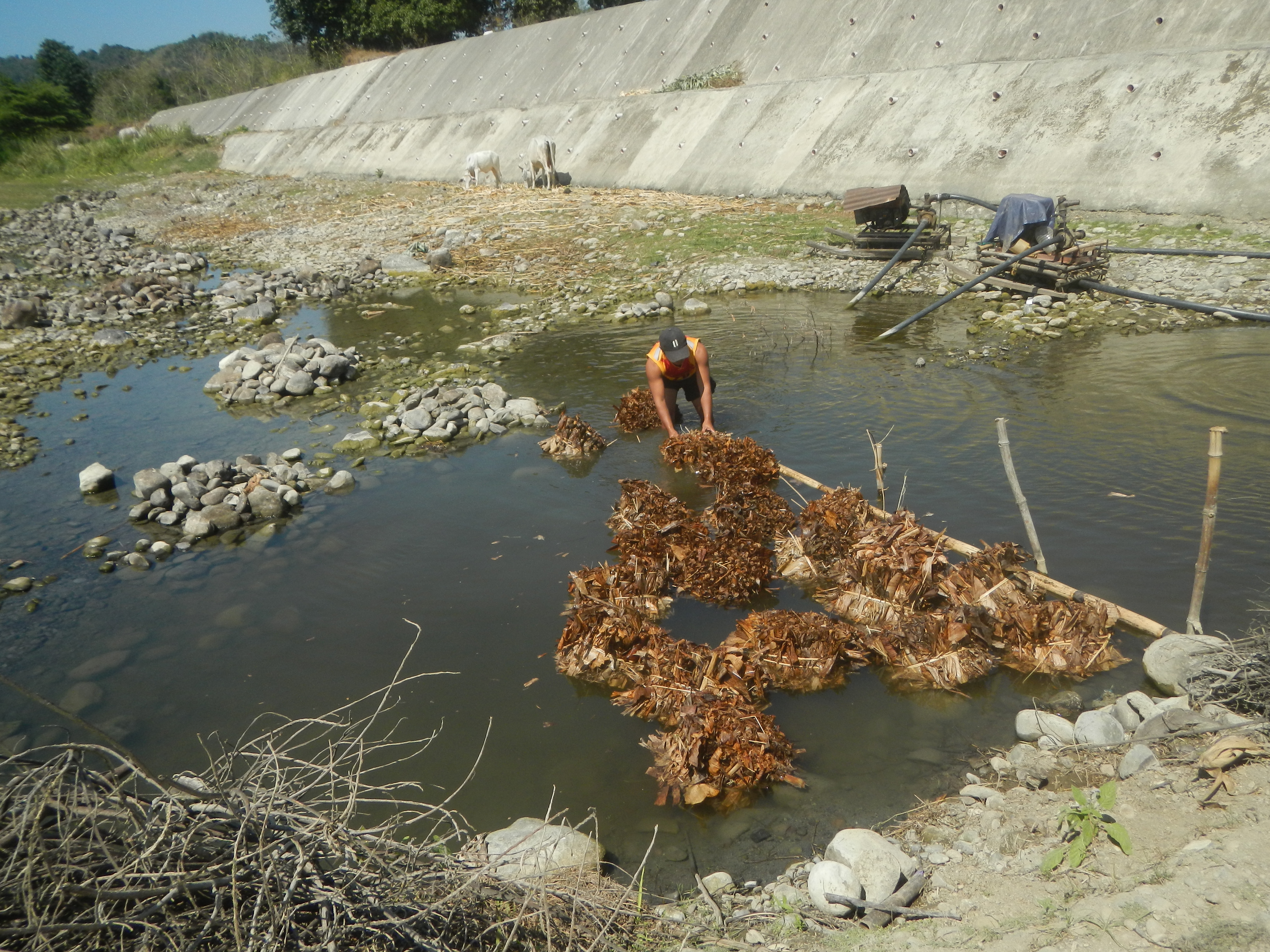
English: Maize kernels drying in Aringay, La Union San Juan West, Aringay, La Union Sitio Tagaytay San Juan West-Poblacion Bridge, Aringay San Juan West-Poblacion Bridge II Poblacion-San Benito Sur Road Curves Poblacion-San Benito Sur Bridge San Juan East, Aringay, La Union Views and landscapes of Aringay River, villages and farm-to-market road (Santa Rita East-San Simon East-San Simon West- San Antonio-San Juan East-San Juan West-Poblacion-San Benito Sur) Category:Sitios and puroks of the Philippines Subdivisions of the Philippines List of barangays in La Union Barangays San Antonio 16°23'56"N 120°23'24"E San Juan East, Aringay, La Union 16.4109, 120.4016 San Juan West, Aringay, La Union 16.4041, 120.3810 Aringay La Union from or along Anduyan-Nangalisan-Asin Road Asin–Nangalisan–San Pascual Road Alternative route to Baguio Santa Rita East, Aringay, La Union Aringay Bridge 16°23'26"N 120°21'22"E K0243+065 KM 243+147 Aringay River 16°23'26"N 120°21'6"E to Aspiras–Palispis Highway or Marcos Highway from along or from MacArthur Highway (Santo Tomas, La Union section) of the MacArthur Highway or Manila North Road) Philippine highway network (Note: Judge Florentino Floro, the owner, to repeat, Donor Florentino Floro of all these photos hereby donate gratuitously, freely and unconditionally Judge Floro all these photos to and for Wikimedia Commons, exclusively, for public use of the public domain, and again without any condition whatsoever). |
| Date | |
| Source | Own work |
| Author | Judgefloro |
| Camera location | | View this and other nearby images on: OpenStreetMap |
|---|
San Juan West, Aringay, La Union 16.4041, 120.3810
Licensing[edit]
I, the copyright holder of this work, hereby publish it under the following license:
| This file is made available under the Creative Commons CC0 1.0 Universal Public Domain Dedication. | |
| The person who associated a work with this deed has dedicated the work to the public domain by waiving all of their rights to the work worldwide under copyright law, including all related and neighboring rights, to the extent allowed by law. You can copy, modify, distribute and perform the work, even for commercial purposes, all without asking permission.
|
File history
Click on a date/time to view the file as it appeared at that time.
| Date/Time | Thumbnail | Dimensions | User | Comment | |
|---|---|---|---|---|---|
| current | 07:34, 25 February 2020 | | 4,608 × 3,456 (6.53 MB) | Judgefloro (talk | contribs) | User created page with UploadWizard |
You cannot overwrite this file.
File usage on Commons
There are no pages that use this file.