File:04 metu Buhayrat 300 2.jpg
Jump to navigation
Jump to search

Size of this preview: 800 × 579 pixels. Other resolutions: 320 × 231 pixels | 640 × 463 pixels | 1,024 × 741 pixels | 1,280 × 926 pixels | 2,303 × 1,666 pixels.
Original file (2,303 × 1,666 pixels, file size: 3.82 MB, MIME type: image/jpeg)
Captions
Captions
Add a one-line explanation of what this file represents
| Description |
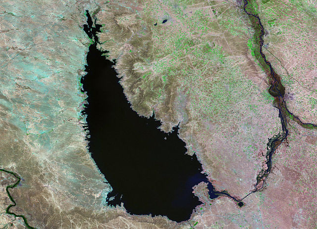
English: Base map image of Lake Tharthar, Iraq, taken in 1990 by Landsat 5. |
|||||
| Date | ||||||
| Source | NASA Landsat-5 satellite | |||||
| Author | Earth Satellite Corporation for NASA | |||||
| Permission (Reusing this file) |
|

Source[edit]
NASA Satellites Allow USDA to See World’s Lakes Rise and Fall archive copy at the Wayback Machine
File history
Click on a date/time to view the file as it appeared at that time.
| Date/Time | Thumbnail | Dimensions | User | Comment | |
|---|---|---|---|---|---|
| current | 15:53, 28 May 2008 | | 2,303 × 1,666 (3.82 MB) | Ando228 (talk | contribs) | {{Information |Description={{en|1=Base map image of Lake Tharthar taken in 1990 by Landsat 5.}} |Source=NASA Landsat-5 satellite |Author=Earth Satellite Corporation for NASA |Date=1990 |Permission={{PD-USGov-NASA}} |other_versions= }} {{ImageUpload|full} |
You cannot overwrite this file.
File usage on Commons
The following page uses this file:
File usage on other wikis
The following other wikis use this file:
- Usage on ar.wikipedia.org
- Usage on be.wikipedia.org
- Usage on ceb.wikipedia.org
- Usage on cv.wikipedia.org
- Usage on de.wikipedia.org
- Usage on en.wikipedia.org
- Usage on es.wikipedia.org
- Usage on et.wikipedia.org
- Usage on fa.wikipedia.org
- Usage on id.wikipedia.org
- Usage on it.wikipedia.org
- Usage on ja.wikipedia.org
- Usage on lt.wikipedia.org
- Usage on lv.wikipedia.org
- Usage on nn.wikipedia.org
- Usage on pt.wikipedia.org
- Usage on ru.wikipedia.org
- Usage on sl.wikipedia.org
- Usage on sr.wikipedia.org
- Usage on uk.wikipedia.org
- Usage on ur.wikipedia.org
- Usage on vi.wikipedia.org
- Usage on www.wikidata.org