File:民国南京城市地名地图 (1937).jpg
Jump to navigation
Jump to search

Size of this preview: 483 × 599 pixels. Other resolutions: 193 × 240 pixels | 387 × 480 pixels | 619 × 768 pixels | 1,171 × 1,452 pixels.
Original file (1,171 × 1,452 pixels, file size: 873 KB, MIME type: image/jpeg)
Captions
Captions
Add a one-line explanation of what this file represents
Summary[edit]
.jpg&action=edit§ion=1)
| Description |
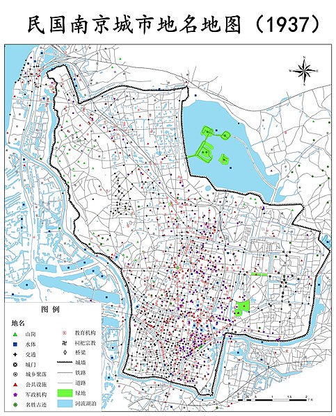
中文(中国大陆):1937年南京市地名地图
English: Map of place names in Nanjing, China in 1937 |
|||||||||
| Date | ||||||||||
| Source | 1909年、1927年、1937年南京城市历史地名数据集 | |||||||||
| Creator |
刘玉轩,于丙辰,徐海洋,陈刚 |
|||||||||
| Geotemporal data | ||||||||||
| Bounding box |
|
|||||||||
| Georeferencing | ||||||||||
Licensing[edit]
.jpg&action=edit§ion=2)
This file is licensed under the Creative Commons Attribution 4.0 International license.
- You are free:
- to share – to copy, distribute and transmit the work
- to remix – to adapt the work
- Under the following conditions:
- attribution – You must give appropriate credit, provide a link to the license, and indicate if changes were made. You may do so in any reasonable manner, but not in any way that suggests the licensor endorses you or your use.
File history
Click on a date/time to view the file as it appeared at that time.
| Date/Time | Thumbnail | Dimensions | User | Comment | |
|---|---|---|---|---|---|
| current | 00:04, 9 May 2020 | | 1,171 × 1,452 (873 KB) | Njzjz (talk | contribs) | Uploaded a work by 刘玉轩,于丙辰,徐海洋,陈刚 from http://www.csdata.org/p/127/2/ 民国南京城市历史地名数据集 with UploadWizard |
You cannot overwrite this file.
File usage on Commons
There are no pages that use this file.
File usage on other wikis
The following other wikis use this file:
- Usage on zh.wikipedia.org
- Usage on zh.wikisource.org
.jpg&oldid=847620365)